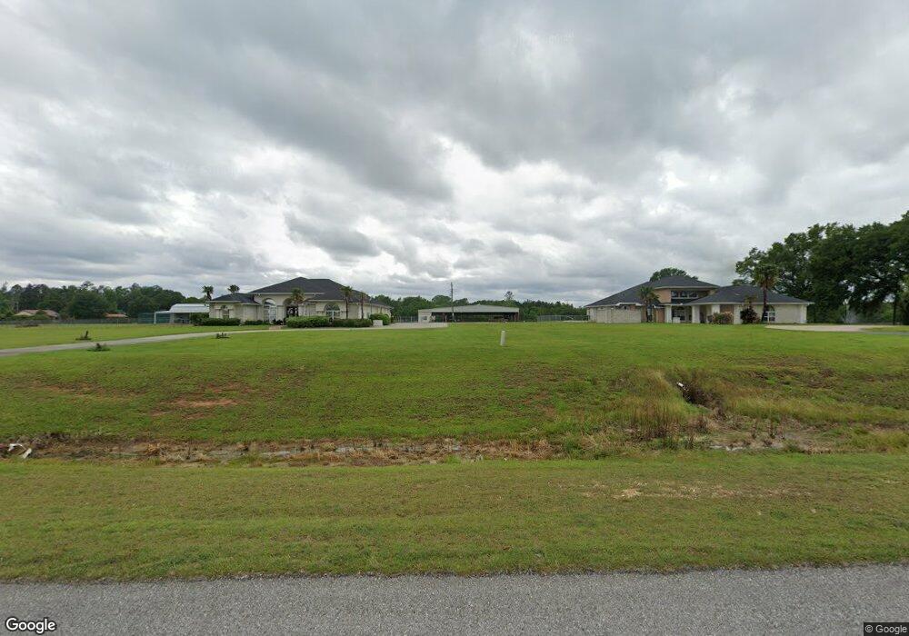
6800 Highway 171 Deridder, LA 70634
Estimated Value: $280,000 - $534,000
4
Beds
4
Baths
5,200
Sq Ft
$79/Sq Ft
Est. Value
About This Home
This home is located at 6800 Highway 171, Deridder, LA 70634 and is currently estimated at $410,912, approximately $79 per square foot. 6800 Highway 171 is a home located in Beauregard Parish with nearby schools including South Beauregard Elementary School, South Beauregard Upper Elementary School, and South Beauregard High School.
Ownership History
Date
Name
Owned For
Owner Type
Purchase Details
Closed on
Mar 24, 2017
Sold by
Young Arthur Glenn and Young Candace Spivey
Bought by
Conway Christopher L and Conway Deandrea Y
Current Estimated Value
Purchase Details
Closed on
Jul 28, 2008
Sold by
Strenge Robert E and Strenge Hazel Juliett
Bought by
Young Arthur G and Young Candace Spivey
Home Financials for this Owner
Home Financials are based on the most recent Mortgage that was taken out on this home.
Original Mortgage
$376,933
Interest Rate
5.39%
Create a Home Valuation Report for This Property
The Home Valuation Report is an in-depth analysis detailing your home's value as well as a comparison with similar homes in the area
Purchase History
| Date | Buyer | Sale Price | Title Company |
|---|---|---|---|
| Conway Christopher L | -- | None Available | |
| Young Arthur G | $369,000 | -- |
Source: Public Records
Mortgage History
| Date | Status | Borrower | Loan Amount |
|---|---|---|---|
| Previous Owner | Young Arthur G | $376,933 |
Source: Public Records
Tax History Compared to Growth
Tax History
| Year | Tax Paid | Tax Assessment Tax Assessment Total Assessment is a certain percentage of the fair market value that is determined by local assessors to be the total taxable value of land and additions on the property. | Land | Improvement |
|---|---|---|---|---|
| 2024 | $4,313 | $31,753 | $1,196 | $30,557 |
| 2023 | $4,355 | $30,853 | $853 | $30,000 |
| 2022 | $4,358 | $30,853 | $853 | $30,000 |
| 2021 | $4,358 | $30,853 | $853 | $30,000 |
| 2020 | $2,663 | $18,853 | $853 | $18,000 |
| 2019 | $4,390 | $30,836 | $836 | $30,000 |
| 2018 | $4,390 | $30,836 | $836 | $30,000 |
| 2017 | $4,390 | $30,836 | $836 | $30,000 |
| 2016 | $4,386 | $30,836 | $836 | $30,000 |
| 2015 | $2,160 | $29,875 | $875 | $29,000 |
| 2014 | $4,129 | $29,875 | $875 | $29,000 |
Source: Public Records
Map
Nearby Homes
- 6592 U S 171
- 255 Calvin Shirley Rd
- 125 Marvin Shirley Rd
- TBD Hauser Rd
- 0 Lee Eason Road (Tract 7) Unit 2-6087
- 0 Hauser Rd Unit 45-690
- 0 Hauser Rd Unit 45-620
- 0 Hauser Rd Unit 45-689
- 0 Hauser Rd Unit SWL24005948
- 0 Lee Eason Road (Tract 3)
- 8078 U S 171
- 0 Highway 171 Unit 51-218
- 0 Highway 171 Unit 26-5218
- 0 Highway 171 Unit 26-5219
- 0 Tbd Griffin Rd
- 0 Griffin Rd
- 0 State Route 394
- 9310 Highway 171
- 248 Brown Ln
- 204 Brown Ln
- 6816 Highway 171
- 6816 Highway 171 Unit South
- 0 Lee Hall Rd
- 6756 Highway 171
- 158 Lee Hall
- 167 Lee Hall Rd
- 6730 Highway 171
- 0 Tbd Lee Hall Rd
- 185 Lee Hall Rd
- 125 Lee Hall Rd
- 205 Lee Hall Rd
- 6712 Highway 171
- 159 Lee Hall Rd
- 249 Lee Hall Rd
- 249 Lee Hall Rd Unit RD
- 6686 Highway 171
- 6658 Highway 171
- 6658 Hwy 171
- 246 Lee Hall Rd
- 6616 Highway 171
