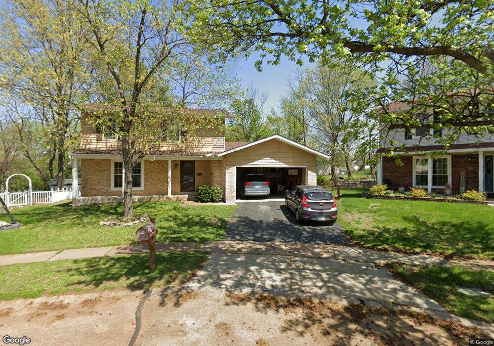
6800 Weber Rd Saint Louis, MO 63123
Estimated Value: $393,000 - $527,000
5
Beds
3
Baths
2,419
Sq Ft
$200/Sq Ft
Est. Value
About This Home
This home is located at 6800 Weber Rd, Saint Louis, MO 63123 and is currently estimated at $483,685, approximately $199 per square foot. 6800 Weber Rd is a home located in St. Louis County with nearby schools including Mesnier Primary School, Gotsch Intermediate School, and Rogers Middle School.
Ownership History
Date
Name
Owned For
Owner Type
Purchase Details
Closed on
Oct 19, 2001
Sold by
The John Edward Phelan Revocable Living
Bought by
Scally Thomas and Scally Rita T
Current Estimated Value
Home Financials for this Owner
Home Financials are based on the most recent Mortgage that was taken out on this home.
Original Mortgage
$180,000
Outstanding Balance
$67,062
Interest Rate
6.84%
Estimated Equity
$416,623
Create a Home Valuation Report for This Property
The Home Valuation Report is an in-depth analysis detailing your home's value as well as a comparison with similar homes in the area
Home Values in the Area
Average Home Value in this Area
Purchase History
| Date | Buyer | Sale Price | Title Company |
|---|---|---|---|
| Scally Thomas | $193,000 | -- |
Source: Public Records
Mortgage History
| Date | Status | Borrower | Loan Amount |
|---|---|---|---|
| Open | Scally Thomas | $180,000 |
Source: Public Records
Tax History
| Year | Tax Paid | Tax Assessment Tax Assessment Total Assessment is a certain percentage of the fair market value that is determined by local assessors to be the total taxable value of land and additions on the property. | Land | Improvement |
|---|---|---|---|---|
| 2025 | $5,612 | $81,480 | $32,760 | $48,720 |
| 2024 | $5,612 | $69,390 | $21,850 | $47,540 |
| 2023 | $5,612 | $69,390 | $21,850 | $47,540 |
| 2022 | $5,489 | $60,170 | $21,850 | $38,320 |
| 2021 | $5,008 | $60,170 | $21,850 | $38,320 |
| 2020 | $4,433 | $49,670 | $15,220 | $34,450 |
| 2019 | $4,425 | $49,670 | $15,220 | $34,450 |
| 2018 | $4,064 | $40,310 | $9,990 | $30,320 |
| 2017 | $4,039 | $40,310 | $9,990 | $30,320 |
| 2016 | $3,238 | $34,320 | $8,460 | $25,860 |
| 2015 | $3,252 | $34,320 | $8,460 | $25,860 |
| 2014 | $2,868 | $30,100 | $4,450 | $25,650 |
Source: Public Records
Map
Nearby Homes
- 8942 Eden Ave
- 8501 Palmetto Dr
- 6421 Judson Ave
- 6722 Colony Acres Dr
- 6714 Colony Acres Dr
- 6723 Colony Acres Dr
- 6321 Sheppard Dr
- 8520 Ava Dr
- 6209 Bixby Ave
- 8628 Charlton Ln
- 8200 New Hampshire Ave
- 9406 Mackenzie Rd
- 9320 Sterling Place
- 6901 General Sherman Ln
- 9225 Pavia Ave
- 9319 Lenard Ct
- 9740 Bexley Station Dr Unit 7G
- 9018 Vasel Dr
- 8016 Wynwood Dr
- 9134 Niger Dr
- 8720 Bonnie Terrace
- 6800 Casselberry Ct
- 8729 Bonnie Terrace
- 6805 Casselberry Ct
- 6804 Casselberry Ct
- 6808 Weber Rd
- 6718 Weber Rd
- 6739 Bonnie Ave
- 6743 Bonnie Ave
- 6820 Weber Rd
- 6735 Bonnie Ave
- 6809 Casselberry Ct
- 6747 Bonnie Ave
- 6733 Bonnie Ave
- 6751 Bonnie Ave
- 6808 Casselberry Ct
- 8726 Bonnie Terrace
- 6731 Bonnie Ave
- 6755 Bonnie Ave
- 8734 Bonnie Terrace
Your Personal Tour Guide
Ask me questions while you tour the home.