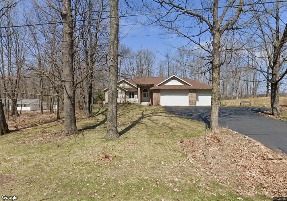
6800 Whippoorwill Rd Wausau, WI 54401
Estimated Value: $323,000 - $476,553
--
Bed
--
Bath
--
Sq Ft
1.53
Acres
About This Home
This home is located at 6800 Whippoorwill Rd, Wausau, WI 54401 and is currently estimated at $392,888. 6800 Whippoorwill Rd is a home located in Marathon County with nearby schools including Rib Mountain Elementary School, John Muir Middle School, and West High School.
Ownership History
Date
Name
Owned For
Owner Type
Purchase Details
Closed on
Nov 24, 2020
Sold by
Keranen Chad M and Keranen Nicole G
Bought by
Creviere Tyler and Creviere Rebecca
Current Estimated Value
Home Financials for this Owner
Home Financials are based on the most recent Mortgage that was taken out on this home.
Original Mortgage
$231,200
Outstanding Balance
$206,204
Interest Rate
2.8%
Mortgage Type
New Conventional
Estimated Equity
$186,684
Purchase Details
Closed on
Dec 15, 2006
Sold by
Berens Joel A
Bought by
Keranen Chad M and Keranen Nicole G
Home Financials for this Owner
Home Financials are based on the most recent Mortgage that was taken out on this home.
Original Mortgage
$190,400
Interest Rate
6.33%
Mortgage Type
Unknown
Create a Home Valuation Report for This Property
The Home Valuation Report is an in-depth analysis detailing your home's value as well as a comparison with similar homes in the area
Home Values in the Area
Average Home Value in this Area
Purchase History
| Date | Buyer | Sale Price | Title Company |
|---|---|---|---|
| Creviere Tyler | $289,900 | None Available | |
| Keranen Chad M | $238,000 | Clt |
Source: Public Records
Mortgage History
| Date | Status | Borrower | Loan Amount |
|---|---|---|---|
| Open | Creviere Tyler | $231,200 | |
| Previous Owner | Keranen Chad M | $190,400 |
Source: Public Records
Tax History Compared to Growth
Tax History
| Year | Tax Paid | Tax Assessment Tax Assessment Total Assessment is a certain percentage of the fair market value that is determined by local assessors to be the total taxable value of land and additions on the property. | Land | Improvement |
|---|---|---|---|---|
| 2024 | $3,592 | $202,200 | $31,600 | $170,600 |
| 2023 | $3,640 | $202,200 | $31,600 | $170,600 |
| 2022 | $3,764 | $202,200 | $31,600 | $170,600 |
| 2021 | $3,662 | $202,200 | $31,600 | $170,600 |
| 2020 | $3,640 | $202,200 | $31,600 | $170,600 |
| 2019 | $3,431 | $202,200 | $31,600 | $170,600 |
| 2018 | $3,921 | $192,400 | $31,600 | $160,800 |
| 2017 | $3,780 | $192,400 | $31,600 | $160,800 |
| 2016 | $3,811 | $192,400 | $31,600 | $160,800 |
| 2015 | $3,683 | $192,400 | $31,600 | $160,800 |
| 2014 | $3,617 | $192,400 | $31,600 | $160,800 |
Source: Public Records
Map
Nearby Homes
- 146503 County Road Nn
- 147180 County Road Nn
- 227825 Nuthatch Ln
- 227815 Sharptail Rd
- 226936 Boulder Ridge Cir
- 6603 Conner Davis Dr
- 303 Rimrock Rd
- 210 Bluestone Dr
- 116 S 68th Ave
- 6007 Birchwood Dr
- 5713 Birchwood Dr
- 212 Windtree Dr
- 210 S 45th Ave
- 150811 County Road Nn
- 150811 Cth Nn
- 226440 Kingbird Ave
- 4615 Rib River Trail
- 10.80 Acres N 72nd Ave
- 227308 Shrike Ave
- 150609 Lavender Ln
- 6906 Whippoorwill Rd
- 6900 Whippoorwill Rd
- 2702 Thornapple Rd
- 146885 Whippoorwill Rd
- 3007 Thornapple Rd
- 2603 Waxwing Rd
- 3009 Thornapple Rd
- 6805 N Mountain Rd
- 2606 Waxwing Rd
- 2507 Waxwing Rd
- 6711 N Mountain Rd
- 6709 N Mountain Rd
- 2602 Waxwing Rd
- 2501 Waxwing Rd
- 2508 Waxwing Rd
- 2502 Waxwing Rd
- 4.59 Acres Thornapple Rd
- 7101 N Mountain Rd
- 6404 Whippoorwill Rd
- 146826 County Road Nn