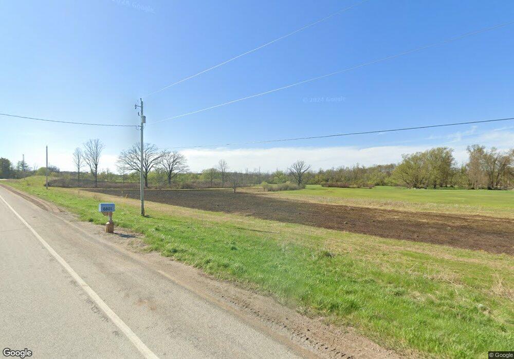
6801 County Road D Allenton, WI 53002
Estimated Value: $373,000 - $461,000
--
Bed
--
Bath
--
Sq Ft
3
Acres
About This Home
This home is located at 6801 County Road D, Allenton, WI 53002 and is currently estimated at $409,748. 6801 County Road D is a home with nearby schools including Kewaskum High School.
Ownership History
Date
Name
Owned For
Owner Type
Purchase Details
Closed on
Jan 12, 2016
Sold by
Binder John H
Bought by
Milici Justin M and Milici Tara J
Current Estimated Value
Home Financials for this Owner
Home Financials are based on the most recent Mortgage that was taken out on this home.
Original Mortgage
$168,800
Outstanding Balance
$134,118
Interest Rate
3.93%
Mortgage Type
New Conventional
Estimated Equity
$275,630
Purchase Details
Closed on
Jun 28, 2013
Sold by
Jacobson Jessica L
Bought by
Binder John H
Home Financials for this Owner
Home Financials are based on the most recent Mortgage that was taken out on this home.
Original Mortgage
$185,000
Interest Rate
3.83%
Mortgage Type
New Conventional
Create a Home Valuation Report for This Property
The Home Valuation Report is an in-depth analysis detailing your home's value as well as a comparison with similar homes in the area
Home Values in the Area
Average Home Value in this Area
Purchase History
| Date | Buyer | Sale Price | Title Company |
|---|---|---|---|
| Milici Justin M | $212,000 | Advantage America Title And | |
| Binder John H | $195,000 | None Available |
Source: Public Records
Mortgage History
| Date | Status | Borrower | Loan Amount |
|---|---|---|---|
| Open | Milici Justin M | $168,800 | |
| Previous Owner | Binder John H | $185,000 |
Source: Public Records
Tax History Compared to Growth
Tax History
| Year | Tax Paid | Tax Assessment Tax Assessment Total Assessment is a certain percentage of the fair market value that is determined by local assessors to be the total taxable value of land and additions on the property. | Land | Improvement |
|---|---|---|---|---|
| 2024 | $2,185 | $202,500 | $49,200 | $153,300 |
| 2023 | $1,955 | $202,600 | $49,300 | $153,300 |
| 2022 | $1,784 | $202,600 | $49,300 | $153,300 |
| 2021 | $1,829 | $202,600 | $49,300 | $153,300 |
| 2020 | $1,896 | $202,600 | $49,300 | $153,300 |
| 2019 | $2,417 | $204,300 | $35,300 | $169,000 |
| 2018 | $2,406 | $204,300 | $35,300 | $169,000 |
| 2017 | $2,469 | $204,300 | $35,300 | $169,000 |
| 2016 | $2,423 | $204,300 | $35,300 | $169,000 |
| 2015 | $2,513 | $204,300 | $35,300 | $169,000 |
| 2014 | $2,513 | $204,300 | $35,300 | $169,000 |
| 2013 | $2,774 | $204,300 | $35,300 | $169,000 |
Source: Public Records
Map
Nearby Homes
- Lt13 Eagle View Dr
- Lt1 Eagle View Dr
- Lt4 Eagle View Dr
- 7087 Nenno Rd
- 8480 Fairview Dr
- Lt3 Wilson Dr
- Lt2 Wilson Dr
- Lt1 Wilson Dr
- N7575 Doyle Rd
- Montrose Manor Plan at Grandview Heights
- Isabelle II Plan at Grandview Heights
- Simen Plan at Grandview Heights
- Sarah III Plan at Grandview Heights
- Balmore II Plan at Grandview Heights
- Edinburgh Plan at Grandview Heights
- 5954 Mohawk Rd
- 6372 Yellowstone Trail N
- 7721 Aurora Rd
- Lt0 County Hwy W
- N9450 Mohawk Rd
- 6721 County Road D
- 6721 County Road D Unit 6721
- 6647 Nickel Ln
- 7005 County Road D
- 6635 Nickel Ln
- 7095 County Road D
- Lt2 Commercial Ln
- 7888 Nenno Rd
- 7871 Nenno Rd
- 7883 Nenno Rd
- 7751 Nenno Rd
- 7657 Nenno Rd
- 6775 Commercial Ln
- 6749 Commercial Ln
- 6875 Commercial Ln
- 7625 Nenno Rd
- 6740 Commercial Ln
- 7861 Nenno Rd
- 7850 Midland Dr
- 6570 Midland Ct