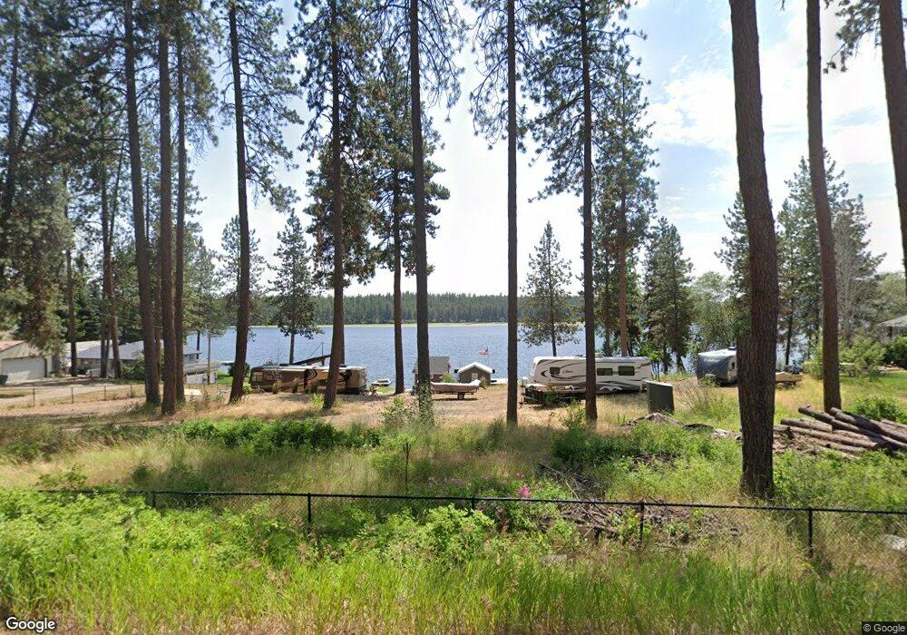
6801 State Highway 291 Tumtum, WA 99034
Estimated Value: $194,000 - $445,000
--
Bed
--
Bath
252
Sq Ft
$1,179/Sq Ft
Est. Value
About This Home
This home is located at 6801 State Highway 291, Tumtum, WA 99034 and is currently estimated at $297,127, approximately $1,179 per square foot. 6801 State Highway 291 is a home located in Stevens County with nearby schools including Lakeside High School.
Ownership History
Date
Name
Owned For
Owner Type
Purchase Details
Closed on
Sep 19, 2018
Sold by
Collins James W and Collins Kristine
Bought by
Bambino Major C and Bambino Corinna
Current Estimated Value
Purchase Details
Closed on
Jul 11, 2016
Sold by
Schemmel T G and Schemmel Mary P
Bought by
Collins James W and Collins Kristine
Purchase Details
Closed on
Apr 16, 1975
Sold by
Hopkins Harrold P and Hopkins Margaret M
Bought by
Schemmel T G and Schemmel Mary P
Create a Home Valuation Report for This Property
The Home Valuation Report is an in-depth analysis detailing your home's value as well as a comparison with similar homes in the area
Home Values in the Area
Average Home Value in this Area
Purchase History
| Date | Buyer | Sale Price | Title Company |
|---|---|---|---|
| Bambino Major C | $430,000 | Stevens County Title Co | |
| Collins James W | $240,000 | Frontier Title & Escrow | |
| Schemmel T G | $25,000 | Frontier Title & Escrow |
Source: Public Records
Tax History Compared to Growth
Tax History
| Year | Tax Paid | Tax Assessment Tax Assessment Total Assessment is a certain percentage of the fair market value that is determined by local assessors to be the total taxable value of land and additions on the property. | Land | Improvement |
|---|---|---|---|---|
| 2024 | $1,455 | $158,685 | $140,736 | $17,949 |
| 2023 | $1,408 | $159,181 | $140,736 | $18,445 |
| 2022 | $1,478 | $156,579 | $140,736 | $15,843 |
| 2021 | $1,538 | $152,263 | $140,736 | $11,527 |
| 2020 | $1,767 | $152,263 | $140,736 | $11,527 |
| 2019 | $1,398 | $151,983 | $140,736 | $11,247 |
| 2018 | $1,497 | $116,291 | $105,552 | $10,739 |
| 2017 | $1,451 | $115,931 | $105,552 | $10,379 |
| 2016 | $1,494 | $121,931 | $105,552 | $16,379 |
| 2015 | -- | $120,072 | $105,552 | $14,520 |
| 2013 | -- | $120,072 | $105,552 | $14,520 |
Source: Public Records
Map
Nearby Homes
- 5677 W Riverview Ln
- 5720 W Riverview Ln
- 6696 Washington 291 Unit B
- TBD Raven Ridge
- 6885 Cummings Canyon Way
- 5491 C Sailor
- 23612 N Westlake Dr
- 5491 Sailor Rd Unit M
- 6627G Thomas Ln
- 5550 Scotts Valley Rd
- 6533D Lois Way
- 6700 Saddle Mountain Way
- 6671 Blueridge Way
- 6712 Washington 291
- 6650 Blueridge Way
- 6437 N Dover Rd
- 6581 Saddle Mountain Way
- XX Blueridge Way Unit LOT 38
- 6526 Summerlin Way
- 21125 Byrne Ln
- 7XXX Washington 291
- 6821 B Washington 291
- 6820 B Washington 291
- 00 Washington 291
- 72XX Washington 291
- 7200 Washington 291
- 0000 Washington 291
- XX Washington 291
- NKA Washington 291
- 7122 Washington 291
- NHN Washington 291
- 7406 Washington 291
- 000 Washington 291
- -- Washington 291
- 7095 Washington 291
- 7090 Washington 291
- 7100 Washington 291
- 7240X Washington 291
- 7563 Washington 291
- 736X Washington 291