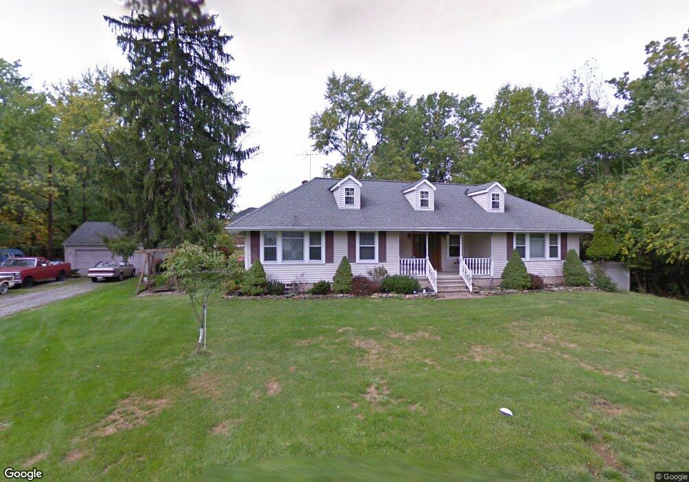
6805 Meadowbrook Blvd Independence, OH 44131
Estimated Value: $317,000 - $439,000
3
Beds
2
Baths
2,413
Sq Ft
$154/Sq Ft
Est. Value
About This Home
This home is located at 6805 Meadowbrook Blvd, Independence, OH 44131 and is currently estimated at $370,428, approximately $153 per square foot. 6805 Meadowbrook Blvd is a home located in Cuyahoga County with nearby schools including Independence Primary School, Independence Middle School, and Independence High School.
Ownership History
Date
Name
Owned For
Owner Type
Purchase Details
Closed on
Aug 25, 1992
Sold by
Chase George M and Carol Ann
Bought by
Hovater Larry J
Current Estimated Value
Purchase Details
Closed on
Jul 16, 1984
Sold by
Raus Madonna Marie
Bought by
Chase George M and Carol Ann
Purchase Details
Closed on
Oct 30, 1978
Sold by
Mack Edward E and Mack Patricia
Bought by
Raus Madonna Marie
Purchase Details
Closed on
Dec 10, 1975
Sold by
Mack Edw E and Mack Patricia
Bought by
Mack Edward E and Mack Patricia
Purchase Details
Closed on
Jan 1, 1975
Bought by
Mack Edw E and Mack Patricia
Create a Home Valuation Report for This Property
The Home Valuation Report is an in-depth analysis detailing your home's value as well as a comparison with similar homes in the area
Home Values in the Area
Average Home Value in this Area
Purchase History
| Date | Buyer | Sale Price | Title Company |
|---|---|---|---|
| Hovater Larry J | $115,000 | -- | |
| Chase George M | $184,000 | -- | |
| Raus Madonna Marie | $70,000 | -- | |
| Mack Edward E | -- | -- | |
| Mack Edw E | -- | -- |
Source: Public Records
Tax History Compared to Growth
Tax History
| Year | Tax Paid | Tax Assessment Tax Assessment Total Assessment is a certain percentage of the fair market value that is determined by local assessors to be the total taxable value of land and additions on the property. | Land | Improvement |
|---|---|---|---|---|
| 2024 | $5,139 | $117,250 | $30,170 | $87,080 |
| 2023 | $4,510 | $94,610 | $29,790 | $64,820 |
| 2022 | $4,508 | $94,610 | $29,790 | $64,820 |
| 2021 | $4,443 | $94,610 | $29,790 | $64,820 |
| 2020 | $4,305 | $86,800 | $27,340 | $59,470 |
| 2019 | $4,620 | $248,000 | $78,100 | $169,900 |
| 2018 | $4,632 | $86,800 | $27,340 | $59,470 |
| 2017 | $4,698 | $84,360 | $20,480 | $63,880 |
| 2016 | $4,650 | $84,360 | $20,480 | $63,880 |
| 2015 | $4,646 | $84,360 | $20,480 | $63,880 |
| 2014 | $4,646 | $84,360 | $20,480 | $63,880 |
Source: Public Records
Map
Nearby Homes
- 6588 2nd St
- 0 Brecksville Rd
- 7426 Stone Rd
- 5108 Great Oaks Pkwy
- 6208 Dora Blvd
- 8420 Stone Rd
- 0 Daisy Blvd
- 6882 Linden Ln
- 0 Acorn Dr Unit 5023848
- VL Laura Lee Ln
- 6835 E Pleasant Valley Rd
- VL TBB Laura Lee Ln
- 6312 E Pleasant Valley Rd
- 7003 Brecksville Rd
- 2900 Parmalee Dr
- 6650 Parkgate Oval
- 6606 Crossview Rd
- 9854 Gleeson Dr
- 1691 E Parkhaven Dr
- 918 Starlight Dr
- 6804 Meadowbrook Blvd
- 6812 Meadowbrook Blvd
- 6798 Meadowbrook Blvd
- 6906 Meadowbrook Blvd
- 6704 Elmwood Ave
- 6716 Elmwood Ave
- 6650 Elmwood Ave
- 6806 Elmwood Ave
- 6812 Elmwood Ave
- 6604 Elmwood Ave
- 6904 Elmwood Ave
- 6512 Elmwood Ave
- 6664 Brecksville Rd
- 6692 Brecksville Rd
- 6684 Brecksville Rd
- 6654 W Public Square (Rt-21)
- 6654 Brecksville Rd
- 6715 Elmwood Ave
- 6709 Elmwood Ave
- 6500 Elmwood Ave