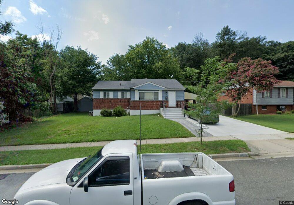
6806 Furman Pkwy Riverdale, MD 20737
Estimated Value: $356,000 - $427,000
3
Beds
2
Baths
1,052
Sq Ft
$376/Sq Ft
Est. Value
About This Home
This home is located at 6806 Furman Pkwy, Riverdale, MD 20737 and is currently estimated at $395,797, approximately $376 per square foot. 6806 Furman Pkwy is a home located in Prince George's County with nearby schools including Beacon Heights Elementary School, Charles Carroll Middle School, and Parkdale High School.
Ownership History
Date
Name
Owned For
Owner Type
Purchase Details
Closed on
Feb 16, 2010
Sold by
Deutsche Bank National Trs
Bought by
Spinner Jovonni R
Current Estimated Value
Purchase Details
Closed on
Feb 3, 2000
Sold by
Kwentua Mariagorety O
Bought by
Kwentua Dumazor A
Purchase Details
Closed on
Jun 12, 1998
Sold by
Oreagba Ademola
Bought by
Kwentua Mariagorety O
Purchase Details
Closed on
Oct 16, 1997
Sold by
Barnhill Robert P
Bought by
Oreagba Ademola
Create a Home Valuation Report for This Property
The Home Valuation Report is an in-depth analysis detailing your home's value as well as a comparison with similar homes in the area
Home Values in the Area
Average Home Value in this Area
Purchase History
| Date | Buyer | Sale Price | Title Company |
|---|---|---|---|
| Spinner Jovonni R | $145,000 | -- | |
| Deutsche Bank National Trst Co | $263,300 | -- | |
| Kwentua Dumazor A | $137,000 | -- | |
| Kwentua Mariagorety O | $130,000 | -- | |
| Oreagba Ademola | $75,000 | -- |
Source: Public Records
Tax History Compared to Growth
Tax History
| Year | Tax Paid | Tax Assessment Tax Assessment Total Assessment is a certain percentage of the fair market value that is determined by local assessors to be the total taxable value of land and additions on the property. | Land | Improvement |
|---|---|---|---|---|
| 2025 | $4,372 | $362,667 | -- | -- |
| 2024 | $4,372 | $345,633 | $0 | $0 |
| 2023 | $4,221 | $328,600 | $75,800 | $252,800 |
| 2022 | $4,076 | $320,633 | $0 | $0 |
| 2021 | $3,937 | $312,667 | $0 | $0 |
| 2020 | $3,861 | $304,700 | $70,400 | $234,300 |
| 2019 | $3,690 | $278,467 | $0 | $0 |
| 2018 | $3,511 | $252,233 | $0 | $0 |
| 2017 | $3,362 | $226,000 | $0 | $0 |
| 2016 | -- | $211,033 | $0 | $0 |
| 2015 | $3,140 | $196,067 | $0 | $0 |
| 2014 | $3,140 | $181,100 | $0 | $0 |
Source: Public Records
Map
Nearby Homes
- 6701 Furman Pkwy
- 5404 67th Ave
- 6612 Hillwood Dr
- 6619 Greenvale Pkwy
- 5800 66th Ave
- 6511 Rosalie Ln
- 6709 Stanton Rd
- 7009 Freeport St
- 6607 Stockton Ln
- 6614 Patterson St
- 4827 69th Place
- 6606 Newport Rd
- 6716 Stockton Ln
- 5710 64th Place
- 5704 64th Place
- 4901 70th Place
- 6020 67th Place
- 4714 Glenoak Rd
- 5104 72nd Ave
- 6300 Longfellow St
- 6808 Furman Pkwy
- 6606 Furman Ct
- 6608 Furman Ct
- 6604 Furman Ct
- 6810 Furman Pkwy
- 6809 Furman Pkwy
- 6811 Furman Pkwy
- 6601 Freeport St
- 6602 Furman Ct
- 6812 Furman Pkwy
- 6813 Furman Pkwy
- 6805 Furman Pkwy
- 6815 Furman Pkwy
- 6605 Furman Ct
- 6607 Furman Ct
- 6602 Freeport St
- 6609 Furman Ct
- 6814 Furman Pkwy
- 6603 Freeport St
- 6803 Furman Pkwy