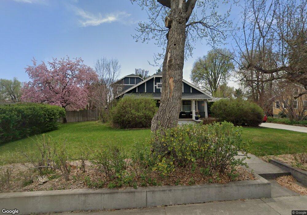
6806 Ralston Rd Arvada, CO 80002
Olde Town Arvada NeighborhoodEstimated Value: $753,264 - $969,000
4
Beds
5
Baths
2,716
Sq Ft
$308/Sq Ft
Est. Value
About This Home
This home is located at 6806 Ralston Rd, Arvada, CO 80002 and is currently estimated at $837,566, approximately $308 per square foot. 6806 Ralston Rd is a home located in Jefferson County with nearby schools including Secrest Elementary School, North Arvada Middle School, and Arvada High School.
Ownership History
Date
Name
Owned For
Owner Type
Purchase Details
Closed on
Sep 27, 2013
Sold by
Purdham Frank L
Bought by
Kribs David M
Current Estimated Value
Purchase Details
Closed on
Sep 26, 1995
Sold by
Acker Carol J
Bought by
Kribs David M and Kribs Sally F
Home Financials for this Owner
Home Financials are based on the most recent Mortgage that was taken out on this home.
Original Mortgage
$152,000
Interest Rate
7.88%
Create a Home Valuation Report for This Property
The Home Valuation Report is an in-depth analysis detailing your home's value as well as a comparison with similar homes in the area
Home Values in the Area
Average Home Value in this Area
Purchase History
| Date | Buyer | Sale Price | Title Company |
|---|---|---|---|
| Kribs David M | -- | Heritage Title | |
| Kribs David M | $190,000 | -- |
Source: Public Records
Mortgage History
| Date | Status | Borrower | Loan Amount |
|---|---|---|---|
| Previous Owner | Kribs David M | $152,000 |
Source: Public Records
Tax History
| Year | Tax Paid | Tax Assessment Tax Assessment Total Assessment is a certain percentage of the fair market value that is determined by local assessors to be the total taxable value of land and additions on the property. | Land | Improvement |
|---|---|---|---|---|
| 2024 | $4,748 | $48,949 | $22,799 | $26,150 |
| 2023 | $4,748 | $48,949 | $22,799 | $26,150 |
| 2022 | $5,100 | $52,082 | $31,764 | $20,318 |
| 2021 | $5,185 | $53,580 | $32,678 | $20,902 |
| 2020 | $3,915 | $40,574 | $20,894 | $19,680 |
| 2019 | $3,863 | $40,574 | $20,894 | $19,680 |
| 2018 | $3,961 | $40,450 | $20,362 | $20,088 |
| 2017 | $3,626 | $40,450 | $20,362 | $20,088 |
| 2016 | $3,535 | $36,712 | $14,631 | $22,081 |
| 2015 | $3,278 | $36,712 | $14,631 | $22,081 |
| 2014 | $3,278 | $32,381 | $13,500 | $18,881 |
Source: Public Records
Map
Nearby Homes
- 6902 Ralston Rd
- 5716 Saulsbury St
- 6427 Grandview Ave Unit A & B
- 6840 W 60th Ave
- 6910 Reno Dr
- 6865 W 55th Place
- 6480 W 60th Ave
- 7303 W 59th Ave
- 6029 Quay Ct
- 6940 W 55th Place
- 7357 Grandview Ave Unit 200
- 7357 Grandview Ave Unit 202
- 6990 W 61st Ave
- 7313 W 60th Ave
- 7235 W 61st Ave
- 7607 Ralston Rd
- 5423 Saulsbury Ct
- 7365 W 61st Ave
- 6245 Saulsbury St
- 5246 Pierce St
- 6802 Ralston Rd
- 6810 Ralston Rd
- 6800 Ralston Rd
- 6900 Ralston Rd
- 6807 Grandview Ave
- 6708 Ralston Rd
- 6811 Grandview Ave
- 5724 Reed St
- 6813 Grandview Ave
- 5720 Reed St
- 6904 Ralston Rd
- 5718 Reed St
- 5716 Reed St
- 6706 Ralston Rd
- 6901 Grandview Ave
- 6901 Grandview Ave Unit A/B
- 5714 Reed St
- 6809 Grandview Ave
- 6809 Grandview Ave
- 5815 Pierce St Unit H
Your Personal Tour Guide
Ask me questions while you tour the home.