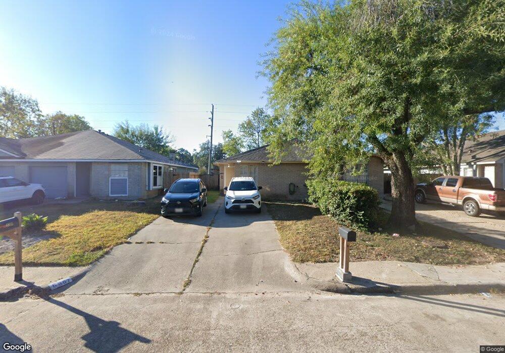
6807 Greenyard Dr Houston, TX 77086
North Houston NeighborhoodEstimated Value: $157,899 - $169,000
2
Beds
2
Baths
1,137
Sq Ft
$144/Sq Ft
Est. Value
About This Home
This home is located at 6807 Greenyard Dr, Houston, TX 77086 and is currently estimated at $163,475, approximately $143 per square foot. 6807 Greenyard Dr is a home located in Harris County with nearby schools including Kujawa EC/Pre-K/K School, Carmichael Elementary School, and Shotwell Middle School.
Ownership History
Date
Name
Owned For
Owner Type
Purchase Details
Closed on
Jun 26, 2014
Sold by
Smith Kyle S and Smith Misti M
Bought by
Cruz Jose Orlando and Cruz Ana Daisy
Current Estimated Value
Purchase Details
Closed on
Mar 14, 2007
Sold by
Netterman Ewald and Netterman Monika
Bought by
Smith Kyle S
Home Financials for this Owner
Home Financials are based on the most recent Mortgage that was taken out on this home.
Original Mortgage
$14,250
Interest Rate
6.3%
Mortgage Type
Purchase Money Mortgage
Create a Home Valuation Report for This Property
The Home Valuation Report is an in-depth analysis detailing your home's value as well as a comparison with similar homes in the area
Home Values in the Area
Average Home Value in this Area
Purchase History
| Date | Buyer | Sale Price | Title Company |
|---|---|---|---|
| Cruz Jose Orlando | -- | Fidelity National Title | |
| Smith Kyle S | -- | Startex 07 Title Company |
Source: Public Records
Mortgage History
| Date | Status | Borrower | Loan Amount |
|---|---|---|---|
| Previous Owner | Smith Kyle S | $14,250 | |
| Previous Owner | Smith Kyle S | $42,750 |
Source: Public Records
Tax History Compared to Growth
Tax History
| Year | Tax Paid | Tax Assessment Tax Assessment Total Assessment is a certain percentage of the fair market value that is determined by local assessors to be the total taxable value of land and additions on the property. | Land | Improvement |
|---|---|---|---|---|
| 2025 | $3,196 | $152,847 | $29,249 | $123,598 |
| 2024 | $3,196 | $158,162 | $24,487 | $133,675 |
| 2023 | $3,196 | $158,162 | $24,487 | $133,675 |
| 2022 | $2,817 | $130,065 | $15,305 | $114,760 |
| 2021 | $2,529 | $111,152 | $15,305 | $95,847 |
| 2020 | $2,462 | $101,664 | $15,305 | $86,359 |
| 2019 | $2,390 | $92,688 | $15,305 | $77,383 |
| 2018 | $1,074 | $74,783 | $15,305 | $59,478 |
| 2017 | $1,682 | $61,465 | $10,203 | $51,262 |
| 2016 | $1,682 | $61,465 | $10,203 | $51,262 |
| 2015 | $1,223 | $57,103 | $10,203 | $46,900 |
| 2014 | $1,223 | $41,733 | $10,203 | $31,530 |
Source: Public Records
Map
Nearby Homes
- 11006 Crinkleawn Dr
- 11007 Tobasa Ct
- 11021 Crenchrus Ct
- 11009 Panicum Ct
- 6654 Brownie Campbell Rd
- 6610 Northleaf Dr
- 6630 Brownie Campbell Rd
- 6722 Winding Trace Dr
- 7002 Sandswept Ln
- 6615 Winding Trace Dr
- 7218 Winding Trace Dr
- 7023 Sandswept Ln
- 10522 Northview Dr
- 7222 Northleaf Dr
- 7227 Greenyard Dr
- 6502 Trail Valley Way
- 6911 Silver Star Dr
- 5010 Kale Ct
- 10614 Mackenzie Dr
- 10711 Heather Hill Dr
- 6805 Greenyard Dr
- 6809 Greenyard Dr
- 6803 Greenyard Dr
- 6811 Greenyard Dr
- 6737 Greenyard Dr
- 6813 Greenyard Dr
- 6735 Greenyard Dr
- 11003 Crinkleawn Dr
- 11002 Misty Summit Dr
- 6733 Greenyard Dr
- 11005 Crinkleawn Dr
- 11004 Misty Summit Dr
- 6731 Greenyard Dr
- 6903 Greenyard Dr
- 11007 Crinkleawn Dr
- 11006 Misty Summit Dr
- 6729 Greenyard Dr
- 6905 Greenyard Dr
- 10906 Misty Summit Dr
- 11002 Crinkleawn Dr