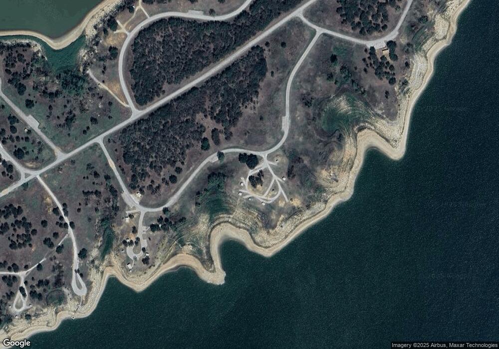
6809 Highway 2318 Comanche, TX 76442
Estimated Value: $142,226 - $167,000
2
Beds
2
Baths
1,312
Sq Ft
$115/Sq Ft
Est. Value
About This Home
This home is located at 6809 Highway 2318, Comanche, TX 76442 and is currently estimated at $150,807, approximately $114 per square foot. 6809 Highway 2318 is a home located in Comanche County with nearby schools including DeLeon Elementary School, Perkins Middle School, and De Leon H.S..
Ownership History
Date
Name
Owned For
Owner Type
Purchase Details
Closed on
Mar 23, 2018
Sold by
Griego Rudy R and Griego Dayna J
Bought by
Preston John Mark and Preston Deborah Basden
Current Estimated Value
Home Financials for this Owner
Home Financials are based on the most recent Mortgage that was taken out on this home.
Original Mortgage
$44,000
Outstanding Balance
$25,527
Interest Rate
4.32%
Mortgage Type
Purchase Money Mortgage
Estimated Equity
$125,280
Purchase Details
Closed on
Dec 21, 2007
Sold by
Wade Patricia Ann Cass
Bought by
Griego Rudy R and Griego Dayna J
Create a Home Valuation Report for This Property
The Home Valuation Report is an in-depth analysis detailing your home's value as well as a comparison with similar homes in the area
Home Values in the Area
Average Home Value in this Area
Purchase History
| Date | Buyer | Sale Price | Title Company |
|---|---|---|---|
| Preston John Mark | -- | C&C Abstract Company | |
| Griego Rudy R | -- | None Available |
Source: Public Records
Mortgage History
| Date | Status | Borrower | Loan Amount |
|---|---|---|---|
| Open | Preston John Mark | $44,000 |
Source: Public Records
Tax History Compared to Growth
Tax History
| Year | Tax Paid | Tax Assessment Tax Assessment Total Assessment is a certain percentage of the fair market value that is determined by local assessors to be the total taxable value of land and additions on the property. | Land | Improvement |
|---|---|---|---|---|
| 2024 | $1,705 | $112,520 | $6,620 | $105,900 |
| 2023 | $1,718 | $111,090 | $5,440 | $105,650 |
| 2022 | $1,739 | $90,560 | $4,930 | $85,630 |
| 2021 | $1,375 | $64,670 | $4,210 | $60,460 |
| 2020 | $1,289 | $61,160 | $3,810 | $57,350 |
| 2019 | $1,166 | $52,940 | $3,020 | $49,920 |
| 2018 | $1,275 | $54,600 | $2,970 | $51,630 |
| 2017 | $965 | $40,540 | $2,970 | $37,570 |
| 2016 | $881 | $37,020 | $2,340 | $34,680 |
| 2015 | -- | $35,000 | $2,340 | $32,660 |
| 2014 | -- | $35,630 | $2,340 | $33,290 |
Source: Public Records
Map
Nearby Homes
- 366 Saint Kitts Rd
- 124 Arrowhead
- 224 Broken Arrow
- 172 Broken Arrow
- 164 Broken Arrow
- 368 Treasure Beach
- 309 Broken Arrow
- 0000 Ocho Rios Rd
- 55,56,57 Port Promontory Dr
- 348 Buffalo
- 23 Promontory Port
- 357 Discovery Bay Rd
- 6525 Highway 2318
- Tbd 3 Fm 2318
- 640 County Road 420a
- 212 Palmer Dr
- 113 Bogey Cir
- 102 Palmer Dr
- 317 Peach St
- TBD Fm-2861
- 6809 Highway 2318
- 109 Broken Arrow
- 6829 Highway 2318
- 209 Broken Arrow
- 6833 Highway 2318
- 000 Cr 232
- 100 Broken Arrow
- 4613 St Kitts Rd
- 366 Saint Kitts Rd Unit J
- 216 Broken Arrow
- 132 Broken Arrow
- 368-I Treasure Rd Unit I
- 368I Treasure Beach
- 232 Apache Ln
- 116 Arrowhead
- 117 Circle Dr
- 148 Broken Arrow
- 232 Broken Arrow
- 116 Circle Dr
- 000 Port Promontory Rd
