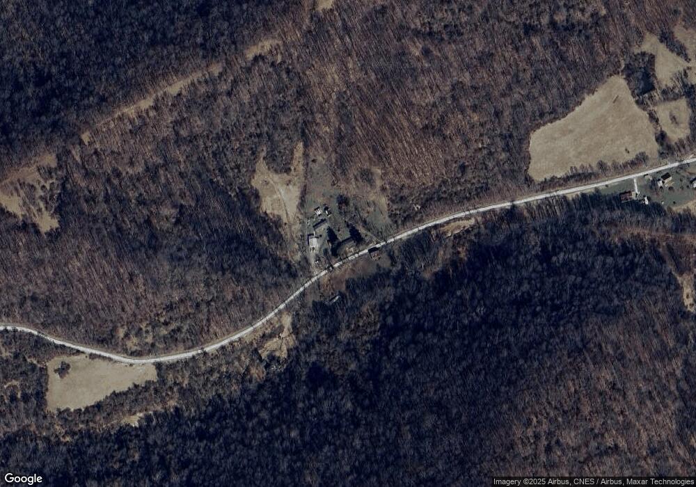
681 Brushy Fork Rd Hundred, WV 26575
Estimated Value: $125,131 - $158,000
4
Beds
1
Bath
1,368
Sq Ft
$103/Sq Ft
Est. Value
About This Home
This home is located at 681 Brushy Fork Rd, Hundred, WV 26575 and is currently estimated at $141,566, approximately $103 per square foot. 681 Brushy Fork Rd is a home with nearby schools including Mason-Dixon Elementary School and Clay-Battelle Middle/High School.
Ownership History
Date
Name
Owned For
Owner Type
Purchase Details
Closed on
Oct 7, 2024
Sold by
Page Michael Scott
Bought by
Northeast Natural Energy Llc
Current Estimated Value
Create a Home Valuation Report for This Property
The Home Valuation Report is an in-depth analysis detailing your home's value as well as a comparison with similar homes in the area
Home Values in the Area
Average Home Value in this Area
Purchase History
| Date | Buyer | Sale Price | Title Company |
|---|---|---|---|
| Northeast Natural Energy Llc | -- | None Listed On Document | |
| Northeast Natural Energy Llc | -- | None Listed On Document |
Source: Public Records
Tax History Compared to Growth
Tax History
| Year | Tax Paid | Tax Assessment Tax Assessment Total Assessment is a certain percentage of the fair market value that is determined by local assessors to be the total taxable value of land and additions on the property. | Land | Improvement |
|---|---|---|---|---|
| 2024 | $349 | $53,460 | $18,240 | $35,220 |
| 2023 | $357 | $53,460 | $18,240 | $35,220 |
| 2022 | $310 | $50,280 | $18,120 | $32,160 |
| 2021 | $316 | $50,640 | $18,120 | $32,520 |
| 2020 | $321 | $51,060 | $18,120 | $32,940 |
| 2019 | $297 | $48,540 | $18,120 | $30,420 |
| 2018 | $302 | $48,900 | $18,120 | $30,780 |
| 2017 | $308 | $49,320 | $18,120 | $31,200 |
| 2016 | $306 | $48,900 | $12,660 | $36,240 |
| 2015 | $296 | $49,320 | $12,660 | $36,660 |
| 2014 | $278 | $48,780 | $12,180 | $36,600 |
Source: Public Records
Map
Nearby Homes
- TBD White Creek
- 104 Renner Creek Rd
- 832 Church Fork Rd
- 53 Saint Leo Rd
- 128 Main St
- 8541 Mason Dixon Hwy
- 106 Carnegie Ln
- 1931 Saint Leo Rd
- 808 Rush Run Rd
- 119 Blockhouse Rd
- 1985 Browns Run Rd
- 1742 Rush Run Rd
- 1125 Toms Run Rd
- 24 and 24.1 Pyles Fork Rd
- 135 Oak Forest Rd
- 213 Hargus Creek Rd
- 479 Bell Run Rd
- 132 Dewey Ave
- 2552 Woodruff
- 223 Dudley Fork Rd