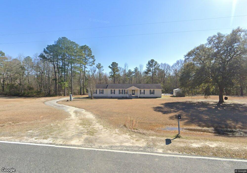
681 Cat Squirrel Rd Glenwood, GA 30428
Estimated Value: $136,000 - $256,000
--
Bed
--
Bath
1,560
Sq Ft
$121/Sq Ft
Est. Value
About This Home
This home is located at 681 Cat Squirrel Rd, Glenwood, GA 30428 and is currently estimated at $188,815, approximately $121 per square foot. 681 Cat Squirrel Rd is a home with nearby schools including Wheeler County Elementary School and Wheeler County High School.
Ownership History
Date
Name
Owned For
Owner Type
Purchase Details
Closed on
Jun 30, 2005
Sold by
Carey Ricky L
Bought by
Carey Ricky L and Carey Betty R
Current Estimated Value
Purchase Details
Closed on
Jan 31, 2002
Bought by
Carey Ricky Lee
Create a Home Valuation Report for This Property
The Home Valuation Report is an in-depth analysis detailing your home's value as well as a comparison with similar homes in the area
Home Values in the Area
Average Home Value in this Area
Purchase History
| Date | Buyer | Sale Price | Title Company |
|---|---|---|---|
| Carey Ricky L | -- | -- | |
| Carey Ricky Lee | $8,000 | -- |
Source: Public Records
Tax History Compared to Growth
Tax History
| Year | Tax Paid | Tax Assessment Tax Assessment Total Assessment is a certain percentage of the fair market value that is determined by local assessors to be the total taxable value of land and additions on the property. | Land | Improvement |
|---|---|---|---|---|
| 2024 | $1,479 | $53,480 | $3,600 | $49,880 |
| 2023 | $1,628 | $53,480 | $3,600 | $49,880 |
| 2022 | $1,135 | $37,880 | $3,600 | $34,280 |
| 2021 | $1,139 | $37,880 | $3,600 | $34,280 |
| 2020 | $1,148 | $37,880 | $3,600 | $34,280 |
| 2019 | $1,140 | $37,560 | $3,600 | $33,960 |
| 2018 | $1,145 | $37,560 | $3,600 | $33,960 |
| 2017 | $1,151 | $37,560 | $3,600 | $33,960 |
| 2016 | -- | $37,560 | $3,600 | $33,960 |
| 2015 | -- | $39,360 | $3,600 | $35,760 |
| 2014 | -- | $39,360 | $3,600 | $35,760 |
| 2013 | -- | $39,360 | $3,600 | $35,760 |
Source: Public Records
Map
Nearby Homes
- 111 Dead River Rd
- 3 Stuckey Ln
- 00 Sam Anderson Rd
- 0 Dead River Rd Glenwood Unit Ga.
- 100 E 2nd Ave
- 0 Us Hwy 280 Unit 24320907
- 642 Still Rd
- 400 W Bluff St
- 0 S Railroad Ave
- 421 E Church St
- 0 E Spring St
- 520 S Johnson St
- 610 Dobbins St
- 812 E Pearl St
- 118 Gum St
- 150 Georgia 30
- 226 Cherokee Rd
- 0 Pearl St Unit 10564173
- 0 Wheeler Rd Unit 153340
- 928 N Mcbride St
- 671 Cat Squirrel Rd
- 629 Cat Squirrel Rd
- 601 Cat Squirrel Rd
- 322 Cat Squirrel Rd
- 581 Cat Squirrel Rd
- 555 S Highway 19
- 339 S Highway 19
- 593 S Highway 19
- 83 Ledbetter Rd
- 117 Ledbetter Rd
- 533 Cat Squirrel Rd
- 56 Dead River Rd
- 515 Cat Squirrel Rd
- 0 Dead River Rd Unit 10542533
- 0 Dead River Rd Unit Ga. 22486974
- 0 Dead River Rd Unit 11336387
- 0 Dead River Rd Unit 7640301
- 0 Dead River Rd