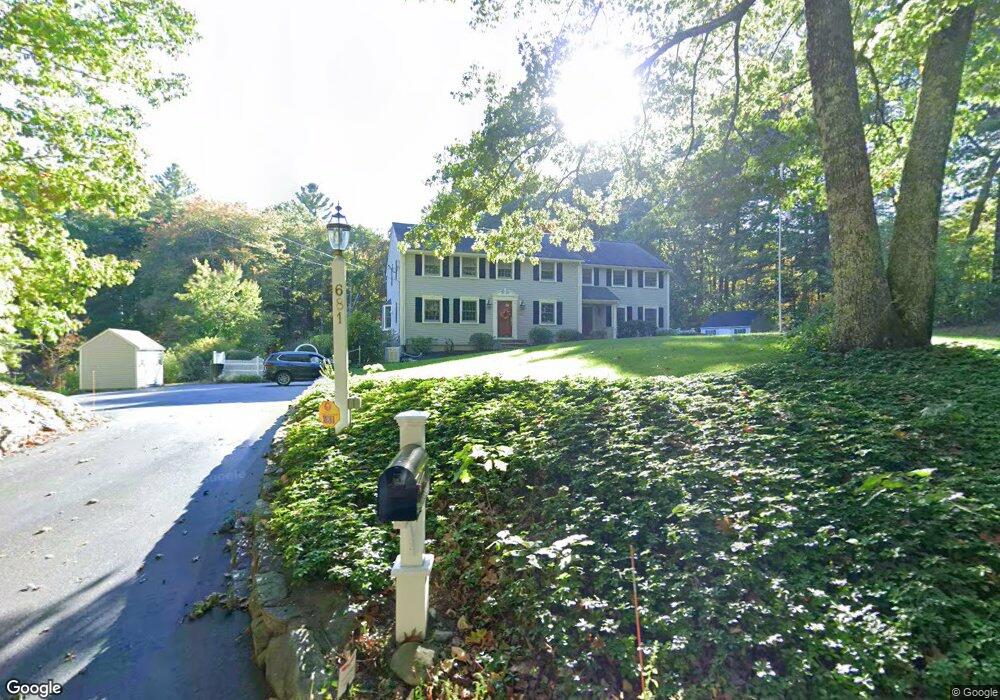
681 High St Walpole, MA 02081
Estimated Value: $1,085,000 - $1,239,000
4
Beds
3
Baths
3,270
Sq Ft
$353/Sq Ft
Est. Value
About This Home
This home is located at 681 High St, Walpole, MA 02081 and is currently estimated at $1,153,033, approximately $352 per square foot. 681 High St is a home located in Norfolk County with nearby schools including Elm Street School, Eleanor N. Johnson Middle School, and Walpole High School.
Ownership History
Date
Name
Owned For
Owner Type
Purchase Details
Closed on
Aug 14, 2019
Sold by
Carter John T and Carter Arleen E
Bought by
Carter Ft
Current Estimated Value
Purchase Details
Closed on
Jan 25, 1983
Bought by
Carter John T and Carter Arleen E
Create a Home Valuation Report for This Property
The Home Valuation Report is an in-depth analysis detailing your home's value as well as a comparison with similar homes in the area
Home Values in the Area
Average Home Value in this Area
Purchase History
| Date | Buyer | Sale Price | Title Company |
|---|---|---|---|
| Carter Ft | -- | -- | |
| Carter John T | -- | -- |
Source: Public Records
Mortgage History
| Date | Status | Borrower | Loan Amount |
|---|---|---|---|
| Previous Owner | Carter John T | $220,000 | |
| Previous Owner | Carter John T | $147,000 | |
| Previous Owner | Carter John T | $50,000 |
Source: Public Records
Tax History Compared to Growth
Tax History
| Year | Tax Paid | Tax Assessment Tax Assessment Total Assessment is a certain percentage of the fair market value that is determined by local assessors to be the total taxable value of land and additions on the property. | Land | Improvement |
|---|---|---|---|---|
| 2025 | $12,561 | $979,000 | $423,200 | $555,800 |
| 2024 | $11,972 | $905,600 | $407,300 | $498,300 |
| 2023 | $11,279 | $812,000 | $354,400 | $457,600 |
| 2022 | $10,579 | $731,600 | $327,700 | $403,900 |
| 2021 | $10,381 | $699,500 | $308,900 | $390,600 |
| 2020 | $9,844 | $656,700 | $291,800 | $364,900 |
| 2019 | $9,548 | $632,300 | $281,800 | $350,500 |
| 2018 | $9,483 | $621,000 | $268,900 | $352,100 |
| 2017 | $9,226 | $601,800 | $258,900 | $342,900 |
| 2016 | $8,997 | $578,200 | $251,800 | $326,400 |
| 2015 | $8,687 | $553,300 | $241,600 | $311,700 |
| 2014 | $8,424 | $534,500 | $244,500 | $290,000 |
Source: Public Records
Map
Nearby Homes
- 111 Elm St
- 94 Elm St
- 44 Millbrook Ave
- 17 Bridle Path
- 4 Lost Brook Trail
- 15 Belknap Rd
- 21 Philip St
- 19 and 23 Arlington Ln
- 11 Garry Dr
- 12 Dutton Park
- 270 South St
- 435 Main St Unit B
- 431 Main St Unit 5
- 1080 North St
- 9 Lakewood Dr
- 34 Frairy St
- 66 Gould St
- 18 Tisdale Dr Unit 18
- 23 Bubbling Brook Rd
- 16 Lee Rd
- 679 High St
- 684 High St
- 114 Elm St
- 110 Elm St
- 1 Mill Brook Ave
- 671 High St
- 3 Mill Brook Ave
- 670 High St
- LOT #39 36 Rose Court Way Unit 39
- LOT 9 Comstock Way
- LOT 53 Sawmill Rd
- Lot 8 Cardinal Ln
- LOT 1 Wind Chime Way
- LOT 6 Ganawatte Dr
- LOT10 Ganawatte Drive Lot 10
- ***** Lot 9 St S
- LOT 24 Dover Rd
- LOT 18 Delaney Dr
- 106 Elm St
- 5 Mill Brook Ave