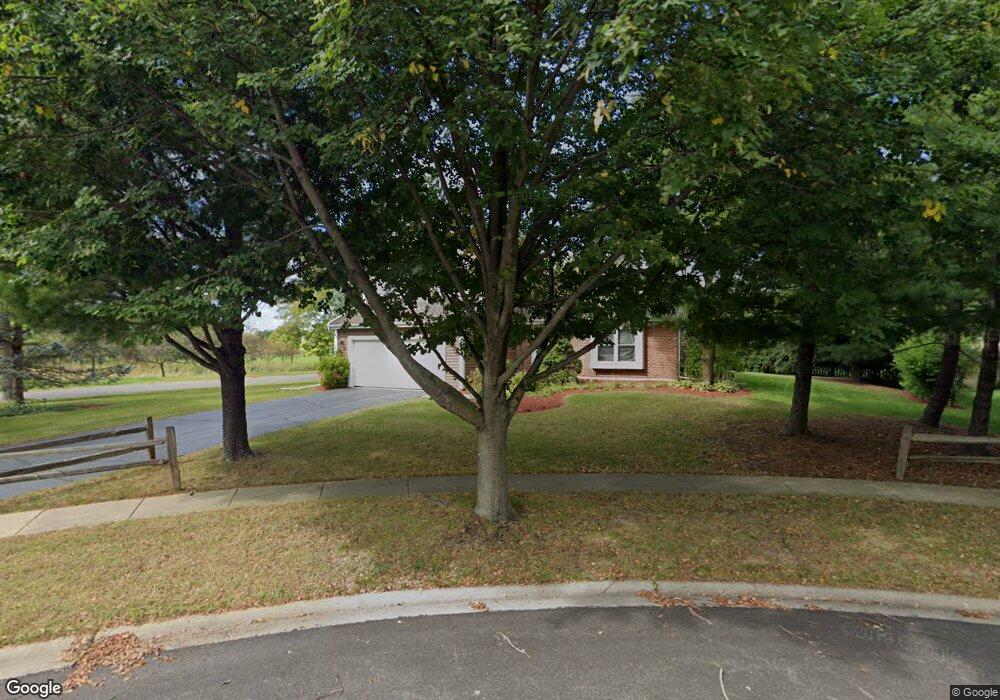
681 Lindsay Ct West Dundee, IL 60118
Estimated Value: $399,000 - $428,000
3
Beds
3
Baths
1,764
Sq Ft
$232/Sq Ft
Est. Value
About This Home
This home is located at 681 Lindsay Ct, West Dundee, IL 60118 and is currently estimated at $409,047, approximately $231 per square foot. 681 Lindsay Ct is a home located in Kane County with nearby schools including Dundee Highlands Elementary School, Dundee Middle School, and Harry D Jacobs High School.
Ownership History
Date
Name
Owned For
Owner Type
Purchase Details
Closed on
Dec 15, 2017
Sold by
Peck Thomas L
Bought by
Warfield Piotr
Current Estimated Value
Home Financials for this Owner
Home Financials are based on the most recent Mortgage that was taken out on this home.
Original Mortgage
$206,700
Outstanding Balance
$174,292
Interest Rate
4%
Mortgage Type
New Conventional
Estimated Equity
$234,755
Create a Home Valuation Report for This Property
The Home Valuation Report is an in-depth analysis detailing your home's value as well as a comparison with similar homes in the area
Home Values in the Area
Average Home Value in this Area
Purchase History
| Date | Buyer | Sale Price | Title Company |
|---|---|---|---|
| Warfield Piotr | $230,000 | None Available |
Source: Public Records
Mortgage History
| Date | Status | Borrower | Loan Amount |
|---|---|---|---|
| Open | Warfield Piotr | $206,700 |
Source: Public Records
Tax History Compared to Growth
Tax History
| Year | Tax Paid | Tax Assessment Tax Assessment Total Assessment is a certain percentage of the fair market value that is determined by local assessors to be the total taxable value of land and additions on the property. | Land | Improvement |
|---|---|---|---|---|
| 2024 | $7,975 | $105,839 | $26,492 | $79,347 |
| 2023 | $7,465 | $95,231 | $23,837 | $71,394 |
| 2022 | $7,260 | $88,411 | $23,837 | $64,574 |
| 2021 | $7,001 | $83,478 | $22,507 | $60,971 |
| 2020 | $6,869 | $81,601 | $22,001 | $59,600 |
| 2019 | $6,886 | $80,074 | $20,886 | $59,188 |
| 2018 | $6,913 | $78,488 | $20,472 | $58,016 |
| 2017 | $7,163 | $73,422 | $19,151 | $54,271 |
| 2016 | $6,598 | $64,090 | $23,612 | $40,478 |
| 2015 | -- | $60,054 | $22,125 | $37,929 |
| 2014 | -- | $58,396 | $21,514 | $36,882 |
| 2013 | -- | $60,184 | $22,173 | $38,011 |
Source: Public Records
Map
Nearby Homes
- 825 Lindsay Ln
- 818 Lindsay Ln
- 814 Lindsay Ln
- 496 Edinburgh Ln
- 503 Edinburgh Ln
- Charlotte Plan at Hickory Glen
- Marianne Plan at Hickory Glen
- 829 Lindsay Ln
- 906 Shagbark Ln
- 902 Shagbark Ln
- 916 Shagbark Ln
- 823 Lindsay Ln
- 904 Shagbark Ln
- 910 Shagbark Ln Unit 1601
- 1715 W Main St
- 2131 Stewart Ln
- 429 Harbor Dr
- Lots 24-133 Walnut Spruce Ash Oak Dr
- 315 Spring Point Dr Unit 18315
- 215 Sharon Dr
- 701 Lindsay Ln
- 596 Lindsay Ln
- 721 Lindsay Ln
- 736 Edinburgh Ln
- 641 Lindsay Ct
- 573 Lindsay Ln
- 582 Lindsay Ln
- 621 Lindsay Ct
- 726 Edinburgh Ln
- 562 Lindsay Ln
- 561 Lindsay Ln
- 541 Tartans Dr
- 680 Edinburgh Ln
- 640 Edinburgh Ln
- 660 Edinburgh Ln
- 622 Edinburgh Ln
- 531 Tartans Dr
- 741 Edinburgh Ln
- 540 Lindsay Ln
- 588 Edinburgh Ln