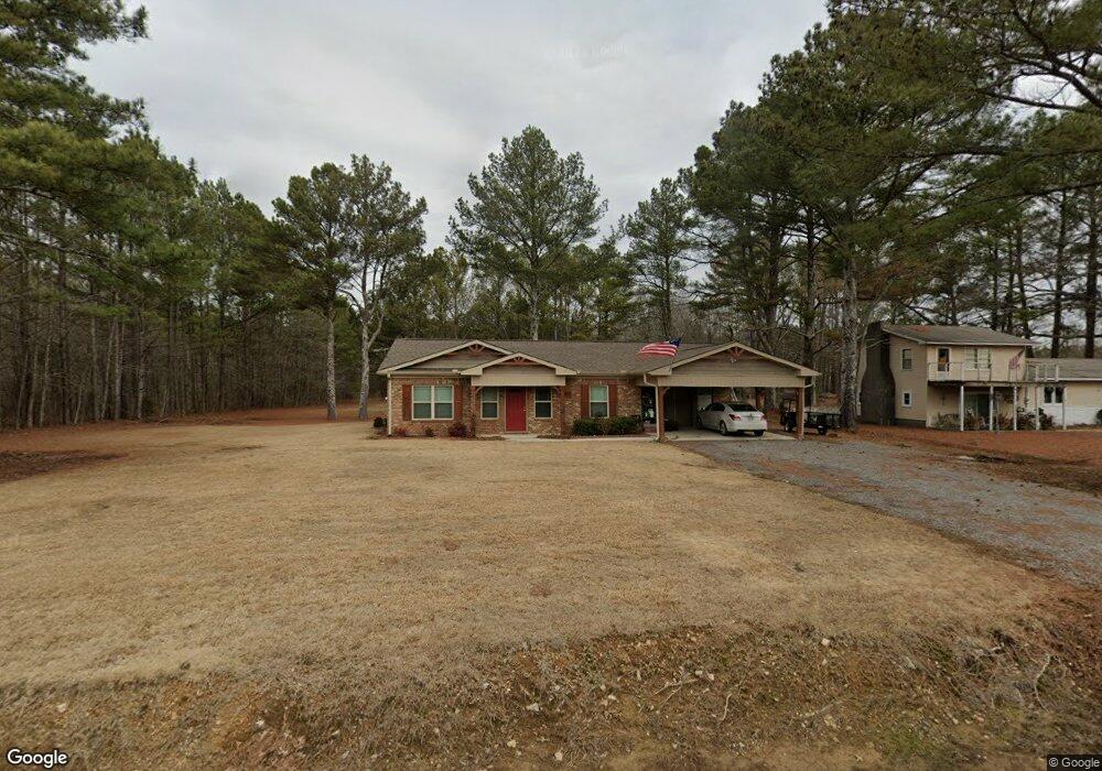
681 Maple Rd New Hope, AL 35760
Estimated Value: $247,691 - $274,000
Studio
--
Bath
1,620
Sq Ft
$161/Sq Ft
Est. Value
About This Home
This home is located at 681 Maple Rd, New Hope, AL 35760 and is currently estimated at $261,423, approximately $161 per square foot. 681 Maple Rd is a home with nearby schools including New Hope Elementary School and New Hope High School.
Ownership History
Date
Name
Owned For
Owner Type
Purchase Details
Closed on
Dec 6, 2018
Sold by
Life Homes Llc
Bought by
Payne Larry Steve
Current Estimated Value
Home Financials for this Owner
Home Financials are based on the most recent Mortgage that was taken out on this home.
Original Mortgage
$154,433
Outstanding Balance
$135,526
Interest Rate
4.8%
Mortgage Type
VA
Estimated Equity
$125,897
Purchase Details
Closed on
Aug 6, 2018
Sold by
Cook Rufus C and Cook Veronica M
Bought by
Life Homes Llc
Home Financials for this Owner
Home Financials are based on the most recent Mortgage that was taken out on this home.
Original Mortgage
$104,000
Interest Rate
4.5%
Mortgage Type
Construction
Create a Home Valuation Report for This Property
The Home Valuation Report is an in-depth analysis detailing your home's value as well as a comparison with similar homes in the area
Home Values in the Area
Average Home Value in this Area
Purchase History
| Date | Buyer | Sale Price | Title Company |
|---|---|---|---|
| Payne Larry Steve | $149,500 | None Available | |
| Life Homes Llc | $15,500 | None Available |
Source: Public Records
Mortgage History
| Date | Status | Borrower | Loan Amount |
|---|---|---|---|
| Open | Payne Larry Steve | $154,433 | |
| Previous Owner | Life Homes Llc | $104,000 |
Source: Public Records
Tax History
| Year | Tax Paid | Tax Assessment Tax Assessment Total Assessment is a certain percentage of the fair market value that is determined by local assessors to be the total taxable value of land and additions on the property. | Land | Improvement |
|---|---|---|---|---|
| 2025 | $653 | $19,840 | $2,800 | $17,040 |
| 2024 | $653 | $18,560 | $2,880 | $15,680 |
| 2023 | $609 | $18,560 | $2,880 | $15,680 |
| 2022 | $0 | $15,900 | $1,500 | $14,400 |
| 2021 | $441 | $14,380 | $1,500 | $12,880 |
| 2020 | $441 | $13,600 | $1,430 | $12,170 |
| 2019 | $489 | $11,140 | $2,860 | $8,280 |
| 2018 | $103 | $2,540 | $0 | $0 |
| 2017 | $103 | $2,540 | $0 | $0 |
| 2016 | $103 | $2,540 | $0 | $0 |
| 2015 | $103 | $2,540 | $0 | $0 |
| 2014 | $103 | $2,540 | $0 | $0 |
Source: Public Records
Map
Nearby Homes
- 110 Stratman Dr
- 154 Stratman Dr
- 4685 Main Dr
- 111 Huntview Dr
- 136 Stratman Dr
- 140 Stratman Dr
- 113 Embassy Cir
- 118 Jonboy Ave
- 114 Jonboy Ave
- 113 Jonboy Ave
- 117 Jonboy Ave
- 110 Jonboy Ave
- 111 Jonboy Ave
- 4444 Old Highway 431
- 623 Johnson Ave
- 156 Stratman Dr
- 4826 Main Dr
- 4856 Main Dr
- AL U S 431
- 5 Acres E U S 431
Your Personal Tour Guide
Ask me questions while you tour the home.