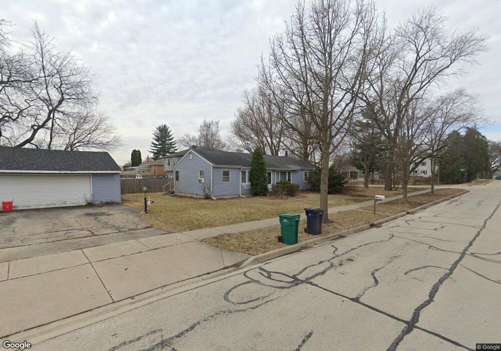
681 N Martha St Lombard, IL 60148
North Lombard NeighborhoodEstimated Value: $430,000 - $480,000
--
Bed
--
Bath
1,835
Sq Ft
$245/Sq Ft
Est. Value
About This Home
This home is located at 681 N Martha St, Lombard, IL 60148 and is currently estimated at $450,235, approximately $245 per square foot. 681 N Martha St is a home located in DuPage County with nearby schools including Pleasant Lane Elementary School, Park View Elementary School, and Madison Elementary School.
Ownership History
Date
Name
Owned For
Owner Type
Purchase Details
Closed on
Jun 24, 1998
Sold by
Ubert Carl A and Warner Charlotte A
Bought by
Lutes David W and Lutes Jo Etta
Current Estimated Value
Home Financials for this Owner
Home Financials are based on the most recent Mortgage that was taken out on this home.
Original Mortgage
$138,000
Outstanding Balance
$27,848
Interest Rate
7.15%
Estimated Equity
$422,387
Create a Home Valuation Report for This Property
The Home Valuation Report is an in-depth analysis detailing your home's value as well as a comparison with similar homes in the area
Home Values in the Area
Average Home Value in this Area
Purchase History
| Date | Buyer | Sale Price | Title Company |
|---|---|---|---|
| Lutes David W | $184,000 | First American Title |
Source: Public Records
Mortgage History
| Date | Status | Borrower | Loan Amount |
|---|---|---|---|
| Open | Lutes David W | $138,000 |
Source: Public Records
Tax History Compared to Growth
Tax History
| Year | Tax Paid | Tax Assessment Tax Assessment Total Assessment is a certain percentage of the fair market value that is determined by local assessors to be the total taxable value of land and additions on the property. | Land | Improvement |
|---|---|---|---|---|
| 2024 | $9,821 | $142,410 | $34,475 | $107,935 |
| 2023 | $9,303 | $131,690 | $31,880 | $99,810 |
| 2022 | $9,623 | $126,590 | $30,640 | $95,950 |
| 2021 | $9,324 | $123,440 | $29,880 | $93,560 |
| 2020 | $9,130 | $120,730 | $29,220 | $91,510 |
| 2019 | $8,678 | $114,780 | $27,780 | $87,000 |
| 2018 | $8,091 | $103,480 | $25,050 | $78,430 |
| 2017 | $9,071 | $112,800 | $31,200 | $81,600 |
| 2016 | $8,831 | $106,260 | $29,390 | $76,870 |
| 2015 | $9,342 | $109,990 | $30,420 | $79,570 |
| 2014 | $9,267 | $106,150 | $37,230 | $68,920 |
| 2013 | $9,122 | $107,640 | $37,750 | $69,890 |
Source: Public Records
Map
Nearby Homes
- 343 E North Ave
- 231 E Berkshire Ave
- 506 N Garfield St
- 530 N Fairfield Ave
- 546 N Main St
- 439 N Fairfield Ave
- 937 W North Ave Unit C
- 630 E Le Moyne Ave
- 933 W North Ave Unit A
- 124 W Sunset Ave
- 147 W North Ave
- 2N000 Vista Ave
- 201 W Potomac Ave
- 252 N Lombard Ave
- 260 N Charlotte St
- 201 W Crystal Ave
- 220 N Martha St
- 229 W Berkshire Ave
- 306 W Sunset Ave
- 434 N Lincoln Ave
- 675 N Martha St
- 669 N Martha St
- 663 N Martha St
- 214 E Le Moyne Ave
- 680 N Craig Place
- 212 E Le Moyne Ave
- 206 E Le Moyne Ave
- 674 N Craig Place
- 668 N Craig Place
- 657 N Martha St
- 674 N Martha St
- 172 E Le Moyne Ave
- 662 N Craig Place
- 161 E Le Moyne Ave
- 224 E Le Moyne Ave
- 166 E Le Moyne Ave
- 668 N Martha St
- 651 N Martha St
- 656 N Craig Place
- 230 E Le Moyne Ave