681 NE 90th Rd Sheldon, MO 64784
Estimated Value: $133,559 - $429,000
1
Bed
1
Bath
965
Sq Ft
$300/Sq Ft
Est. Value
About This Home
This home is located at 681 NE 90th Rd, Sheldon, MO 64784 and is currently estimated at $289,186, approximately $299 per square foot. 681 NE 90th Rd is a home located in Barton County with nearby schools including East Elementary School, Lamar Elementary School, and Lamar Middle School.
Ownership History
Date
Name
Owned For
Owner Type
Purchase Details
Closed on
Feb 1, 2022
Sold by
Rogers Kenneth G L Tr
Bought by
Jennifer Marti C
Current Estimated Value
Home Financials for this Owner
Home Financials are based on the most recent Mortgage that was taken out on this home.
Original Mortgage
$76,000
Outstanding Balance
$68,047
Interest Rate
3%
Mortgage Type
Construction
Estimated Equity
$221,139
Purchase Details
Closed on
Apr 19, 1995
Sold by
Rogers Keith and Rogers Karen
Bought by
Rogers Kenneth G Trust
Purchase Details
Closed on
Jul 19, 1991
Sold by
Rogers Kenneth G Powers, Loraine
Bought by
Rogers Keith and Rogers Karen
Create a Home Valuation Report for This Property
The Home Valuation Report is an in-depth analysis detailing your home's value as well as a comparison with similar homes in the area
Home Values in the Area
Average Home Value in this Area
Purchase History
| Date | Buyer | Sale Price | Title Company |
|---|---|---|---|
| Jennifer Marti C | $95,000 | Barton Cnty Title Co | |
| Rogers Kenneth G Trust | -- | -- | |
| Rogers Keith | -- | -- |
Source: Public Records
Mortgage History
| Date | Status | Borrower | Loan Amount |
|---|---|---|---|
| Open | Jennifer Marti C | $76,000 |
Source: Public Records
Tax History Compared to Growth
Tax History
| Year | Tax Paid | Tax Assessment Tax Assessment Total Assessment is a certain percentage of the fair market value that is determined by local assessors to be the total taxable value of land and additions on the property. | Land | Improvement |
|---|---|---|---|---|
| 2024 | $1,358 | $22,450 | $1,480 | $20,970 |
| 2023 | $1,358 | $22,450 | $1,480 | $20,970 |
| 2022 | $212 | $3,510 | $1,480 | $2,030 |
| 2021 | $317 | $5,230 | $3,200 | $2,030 |
| 2020 | $325 | $5,610 | $3,630 | $1,980 |
| 2019 | $325 | $5,610 | $3,630 | $1,980 |
| 2018 | $384 | $7,010 | $4,420 | $2,590 |
| 2017 | $384 | $7,010 | $4,420 | $2,590 |
| 2016 | $401 | $7,010 | $0 | $0 |
| 2015 | -- | $7,010 | $0 | $0 |
| 2011 | -- | $6,710 | $0 | $0 |
Source: Public Records
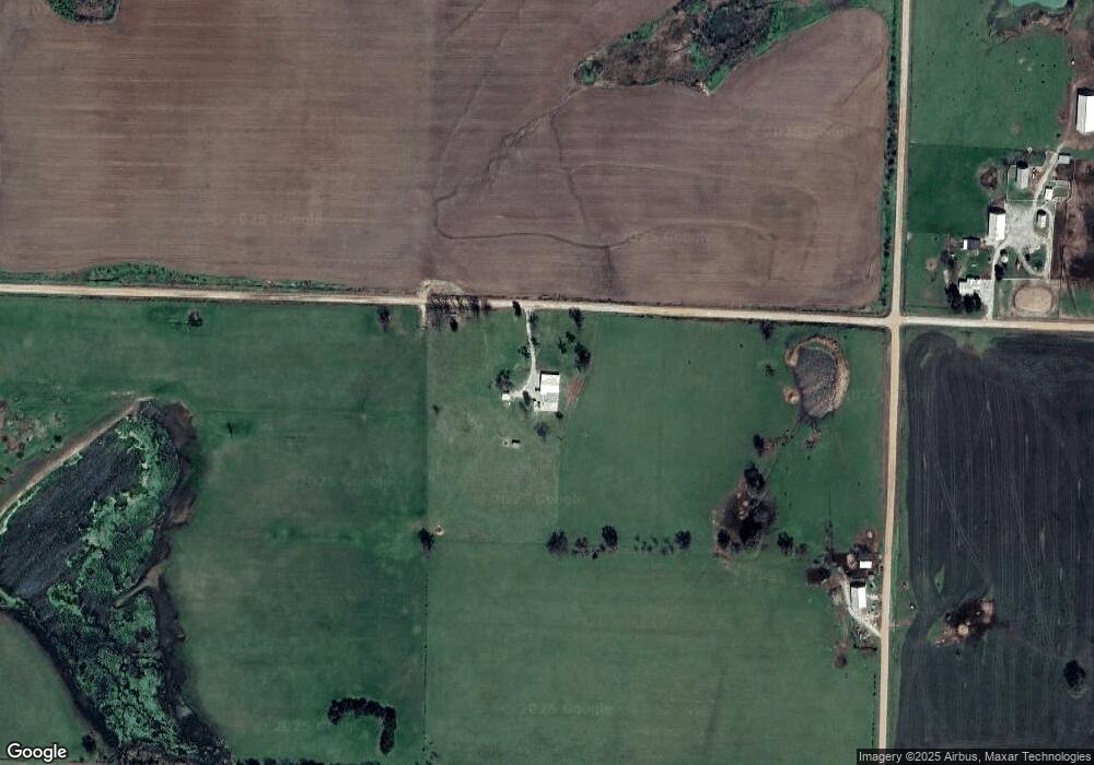
Map
Nearby Homes
- 29694 E B Hwy
- 277 E Nn Hwy
- 20886 E B Hwy Hwy
- 000 Cr Nn
- 000 E Veteran Rd
- 22999 E Waldo Rd
- 28793 E Nn Hwy
- 596/599 NE 5th Ln
- 596 NE 5th Ln
- 000 E Nn Hwy
- 0 E Nn Hwy Unit HMS2588822
- 49 NW 100th Rd
- 200 NE 90th Ln
- 200 NE 90th Ln Unit 2
- 2140 E 2100 Rd
- 18905 S Highway 97
- 491 NW 1st Ln
- 000 State Route E
- 17522 E N Hwy
- 0 NW 90th Rd