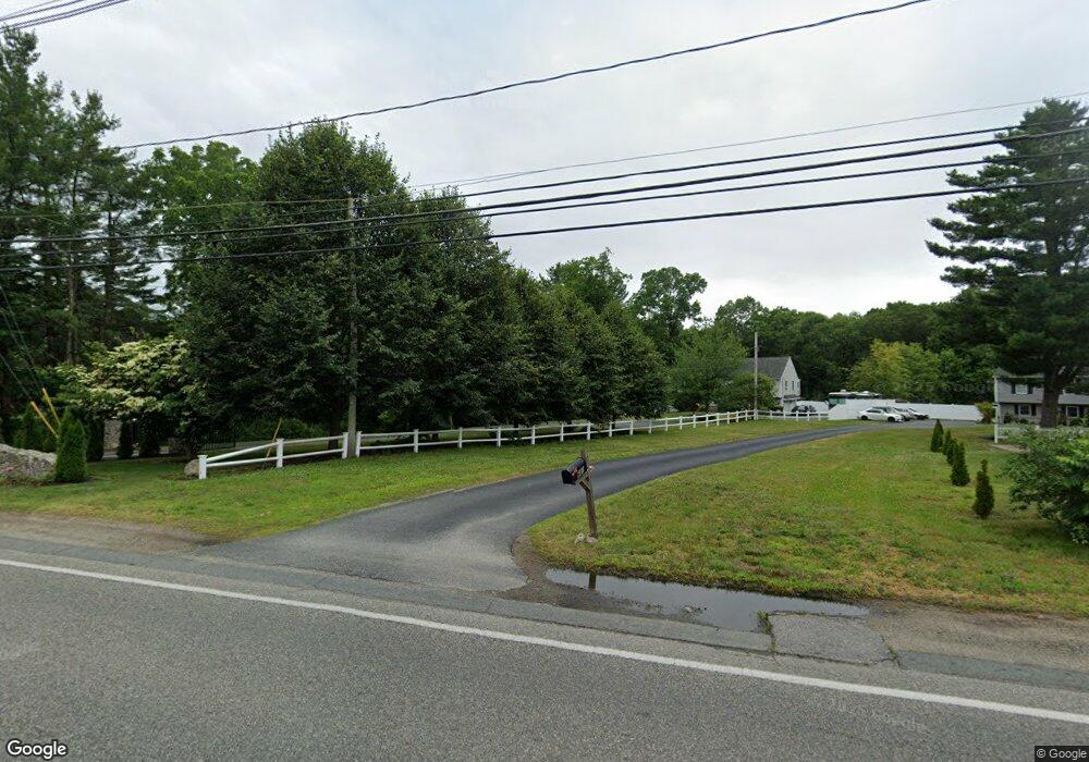
681 Plain St Brockton, MA 02302
Estimated Value: $491,000 - $584,000
3
Beds
2
Baths
1,344
Sq Ft
$408/Sq Ft
Est. Value
About This Home
This home is located at 681 Plain St, Brockton, MA 02302 and is currently estimated at $548,328, approximately $407 per square foot. 681 Plain St is a home located in Plymouth County with nearby schools including Gilmore Elementary School, Davis K-8 School, and John F. Kennedy Elementary School.
Ownership History
Date
Name
Owned For
Owner Type
Purchase Details
Closed on
Aug 11, 2020
Sold by
Desmond John O
Bought by
Sanon-Desir Marie L
Current Estimated Value
Home Financials for this Owner
Home Financials are based on the most recent Mortgage that was taken out on this home.
Original Mortgage
$196,377
Interest Rate
2.9%
Mortgage Type
FHA
Purchase Details
Closed on
May 23, 2007
Sold by
Plain Rt and Correia Joseph W
Bought by
Saint-Fort Luc
Home Financials for this Owner
Home Financials are based on the most recent Mortgage that was taken out on this home.
Original Mortgage
$351,000
Interest Rate
6.27%
Mortgage Type
Purchase Money Mortgage
Create a Home Valuation Report for This Property
The Home Valuation Report is an in-depth analysis detailing your home's value as well as a comparison with similar homes in the area
Purchase History
| Date | Buyer | Sale Price | Title Company |
|---|---|---|---|
| Sanon-Desir Marie L | $200,000 | None Available | |
| Saint-Fort Luc | $351,000 | -- |
Source: Public Records
Mortgage History
| Date | Status | Borrower | Loan Amount |
|---|---|---|---|
| Previous Owner | Sanon-Desir Marie L | $196,377 | |
| Previous Owner | Saint-Fort Luc | $351,000 |
Source: Public Records
Tax History
| Year | Tax Paid | Tax Assessment Tax Assessment Total Assessment is a certain percentage of the fair market value that is determined by local assessors to be the total taxable value of land and additions on the property. | Land | Improvement |
|---|---|---|---|---|
| 2025 | $6,238 | $515,100 | $203,400 | $311,700 |
| 2024 | $6,179 | $514,100 | $203,400 | $310,700 |
| 2023 | $6,123 | $471,700 | $161,000 | $310,700 |
| 2022 | $5,662 | $405,300 | $146,400 | $258,900 |
| 2021 | $5,578 | $384,700 | $118,500 | $266,200 |
| 2020 | $5,569 | $367,600 | $103,400 | $264,200 |
| 2019 | $5,279 | $339,700 | $97,700 | $242,000 |
| 2018 | $7,313 | $300,400 | $97,700 | $202,700 |
| 2017 | $4,513 | $280,300 | $97,700 | $182,600 |
| 2016 | $4,713 | $271,500 | $94,700 | $176,800 |
| 2015 | $4,715 | $259,800 | $94,700 | $165,100 |
| 2014 | $4,241 | $233,900 | $94,700 | $139,200 |
Source: Public Records
Map
Nearby Homes
- 578 Plain St
- 1 Thomas Cir
- 463 Pleasant St
- 23 Dondi Rd
- 118 Deanna Rd
- 31 Friendship Dr
- 10 Colleen Way
- 16 Liberty St
- 18 American Ave
- 15 Wachusetts Rd
- 16 Jason Way
- 323 Matfield St
- 55 Marjan Dr
- 12 Paulin Ave
- 9 Longworth Ave Unit 135
- 9 Longworth Ave Unit 113
- 15 Longworth Ave Unit 226
- 25 Longworth Ave Unit 4
- 35 Longworth Ave Unit 25
- 549 Summer St
Your Personal Tour Guide
Ask me questions while you tour the home.