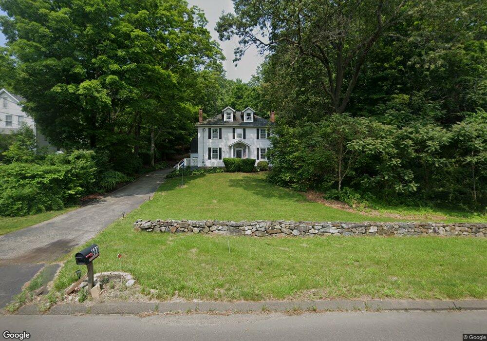
681 River Rd Shelton, CT 06484
Estimated Value: $471,000 - $525,000
4
Beds
2
Baths
1,872
Sq Ft
$262/Sq Ft
Est. Value
About This Home
This home is located at 681 River Rd, Shelton, CT 06484 and is currently estimated at $490,487, approximately $262 per square foot. 681 River Rd is a home located in Fairfield County with nearby schools including Perry Hill School, Shelton Intermediate School, and Shelton High School.
Ownership History
Date
Name
Owned For
Owner Type
Purchase Details
Closed on
Dec 13, 2013
Sold by
Perez Margare
Bought by
Perez Mark
Current Estimated Value
Home Financials for this Owner
Home Financials are based on the most recent Mortgage that was taken out on this home.
Original Mortgage
$208,000
Outstanding Balance
$157,765
Interest Rate
4.14%
Estimated Equity
$332,722
Purchase Details
Closed on
Aug 2, 1999
Sold by
Mccabe Keith and Mccabe Donna M
Bought by
Calise Carol A
Home Financials for this Owner
Home Financials are based on the most recent Mortgage that was taken out on this home.
Original Mortgage
$142,400
Interest Rate
7.61%
Purchase Details
Closed on
Jul 29, 1996
Sold by
Camarro Baron J and Camarro Barbara A
Bought by
Mccabe Keith S and Mccabe Donna M
Create a Home Valuation Report for This Property
The Home Valuation Report is an in-depth analysis detailing your home's value as well as a comparison with similar homes in the area
Home Values in the Area
Average Home Value in this Area
Purchase History
| Date | Buyer | Sale Price | Title Company |
|---|---|---|---|
| Perez Mark | $260,000 | -- | |
| Perez Margaret | -- | -- | |
| Perez Mark | $260,000 | -- | |
| Calise Carol A | $178,000 | -- | |
| Calise Carol A | $178,000 | -- | |
| Mccabe Keith S | $155,000 | -- | |
| Mccabe Keith S | $155,000 | -- |
Source: Public Records
Mortgage History
| Date | Status | Borrower | Loan Amount |
|---|---|---|---|
| Open | Mccabe Keith S | $208,000 | |
| Closed | Mccabe Keith S | $208,000 | |
| Previous Owner | Mccabe Keith S | $142,400 |
Source: Public Records
Tax History
| Year | Tax Paid | Tax Assessment Tax Assessment Total Assessment is a certain percentage of the fair market value that is determined by local assessors to be the total taxable value of land and additions on the property. | Land | Improvement |
|---|---|---|---|---|
| 2025 | $4,795 | $254,800 | $95,550 | $159,250 |
| 2024 | $4,887 | $254,800 | $95,550 | $159,250 |
| 2023 | $4,451 | $254,800 | $95,550 | $159,250 |
| 2022 | $4,451 | $254,800 | $95,550 | $159,250 |
| 2021 | $3,934 | $178,570 | $67,830 | $110,740 |
| 2020 | $4,004 | $178,570 | $67,830 | $110,740 |
| 2019 | $4,004 | $178,570 | $67,830 | $110,740 |
| 2017 | $3,966 | $178,570 | $67,830 | $110,740 |
| 2015 | $4,342 | $194,600 | $67,830 | $126,770 |
| 2014 | $4,342 | $194,600 | $67,830 | $126,770 |
Source: Public Records
Map
Nearby Homes
- 182 Remy Ct Unit 182
- 160 Kyles Way
- 158 Kyles Way
- 444 Asbury Ridge
- 18 Ashwood Cir
- 88 Rocky Rest Rd
- 35 Mustang Dr
- 807 Long Hill Ave
- 47 Oronoque Trail
- 133 Rocky Rest Rd
- 35 Saginaw Trail
- 463 Herbert St
- 8 Algonkin Rd Unit A
- 35 Cherokee Trail
- 918 Wheelers Farms Rd
- 26 Bunker Hill Cir
- 500 River Rd Unit 3
- 106 Smoke Valley Dr Unit B
- 136 Turtle Run Dr Unit A
- 76 River Bend Rd Unit C
Your Personal Tour Guide
Ask me questions while you tour the home.