681 Shady Ln Alvaton, KY 42122
Greenwood NeighborhoodEstimated Value: $277,000 - $363,000
3
Beds
3
Baths
1,491
Sq Ft
$223/Sq Ft
Est. Value
About This Home
This home is located at 681 Shady Ln, Alvaton, KY 42122 and is currently estimated at $332,927, approximately $223 per square foot. 681 Shady Ln is a home located in Warren County with nearby schools including Alvaton Elementary School, Drakes Creek Middle School, and Greenwood High School.
Ownership History
Date
Name
Owned For
Owner Type
Purchase Details
Closed on
Sep 6, 2022
Sold by
Gilbert Brett K and Gilbert Shawna L
Bought by
Gilbert Shawna Louell Ferst
Current Estimated Value
Home Financials for this Owner
Home Financials are based on the most recent Mortgage that was taken out on this home.
Original Mortgage
$204,000
Outstanding Balance
$194,747
Interest Rate
5.66%
Estimated Equity
$138,180
Purchase Details
Closed on
Aug 12, 2016
Sold by
Ferstl Lawrence L and Ferstl Danna L
Bought by
Gilbert Brett K and Gilbert Shawna L
Purchase Details
Closed on
Jan 12, 2012
Sold by
Robin R F Robin R F
Bought by
Ferstl Lawerence L and Ferstl Deanna L
Create a Home Valuation Report for This Property
The Home Valuation Report is an in-depth analysis detailing your home's value as well as a comparison with similar homes in the area
Home Values in the Area
Average Home Value in this Area
Purchase History
| Date | Buyer | Sale Price | Title Company |
|---|---|---|---|
| Gilbert Shawna Louell Ferst | $220,000 | -- | |
| Gilbert Brett K | $220,000 | Foreman Watson Land Title Ll | |
| Ferstl Lawerence L | $220,000 | -- |
Source: Public Records
Mortgage History
| Date | Status | Borrower | Loan Amount |
|---|---|---|---|
| Open | Gilbert Shawna Louell Ferst | $204,000 |
Source: Public Records
Tax History Compared to Growth
Tax History
| Year | Tax Paid | Tax Assessment Tax Assessment Total Assessment is a certain percentage of the fair market value that is determined by local assessors to be the total taxable value of land and additions on the property. | Land | Improvement |
|---|---|---|---|---|
| 2025 | $2,256 | $261,800 | $0 | $0 |
| 2024 | $2,277 | $261,800 | $0 | $0 |
| 2023 | $1,937 | $220,000 | $0 | $0 |
| 2022 | $1,811 | $220,000 | $0 | $0 |
| 2021 | $1,805 | $220,000 | $0 | $0 |
| 2020 | $1,811 | $220,000 | $0 | $0 |
| 2019 | $1,807 | $220,000 | $0 | $0 |
| 2018 | $1,798 | $220,000 | $0 | $0 |
| 2017 | $1,785 | $220,000 | $0 | $0 |
| 2015 | $1,550 | $194,000 | $0 | $0 |
| 2014 | $1,526 | $194,000 | $0 | $0 |
Source: Public Records
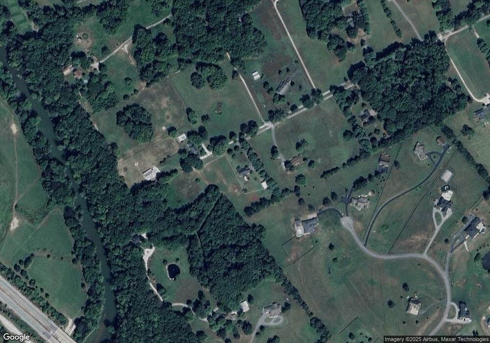
Map
Nearby Homes
- 116 September Lakes Way
- 561 Linkside Ln
- 9117 Woodgate Cir
- 470 Park East Ln
- 626 Village Way
- 366 Park Ln E
- 9351 Woodgate Cir
- 140 Sterling Oak Ct
- 132 Sterling Oak Ct
- 2725 Old Scottsville Rd
- 125 Village Way
- 315 Old Post Dr
- 543 Park Ln W
- 00 Sterling Oak Ct
- 107 Sterling Oak Ct
- 115 Sterling Oak Ct
- 123 Sterling Oak Ct
- 7218 Hilliard Cir
- 205 Marston Mill Way
- 00 Marston Mill Way
- 623 Shady Ln
- 670 Shady Ln
- 584 Shady Ln
- 8080 Otto Moore Rd
- 487 Shady Ln
- 8084 Otto Moore Rd
- 488 Shady Ln
- 600 Shady Ln
- 556 Shady Ln
- 245 Stone Trace Ct
- 260 Stone Trace Ct
- 220 Stone Trace Ct
- 492 Shady Ln
- 225 Stone Trace Ct
- 225 Stone Trace Ct Unit Lot 8
- Lot 10 Stone Trace Ct
- Lot 6 Stone Trace
- Lot 6 Stone Trace Ct
- Lot 1 Stone Trace Ct Unit Stone Trace Subdivis
- 397 Shady Ln