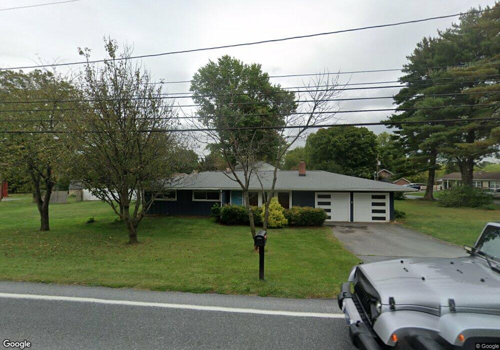
681 Valley Rd Lancaster, PA 17601
Manheim Township NeighborhoodEstimated Value: $264,000 - $360,171
4
Beds
2
Baths
1,376
Sq Ft
$232/Sq Ft
Est. Value
About This Home
This home is located at 681 Valley Rd, Lancaster, PA 17601 and is currently estimated at $319,543, approximately $232 per square foot. 681 Valley Rd is a home located in Lancaster County with nearby schools including Neff School, Landis Run Intermediate School, and Manheim Township Middle School.
Ownership History
Date
Name
Owned For
Owner Type
Purchase Details
Closed on
Nov 30, 2011
Sold by
Kiebach Jennifer S
Bought by
Lee Sean A and Lee Joseph U
Current Estimated Value
Home Financials for this Owner
Home Financials are based on the most recent Mortgage that was taken out on this home.
Original Mortgage
$101,000
Outstanding Balance
$69,389
Interest Rate
4.1%
Mortgage Type
FHA
Estimated Equity
$250,154
Purchase Details
Closed on
Feb 13, 2006
Sold by
Kiebach John C and Kiebach Tracy A
Bought by
Kiebach Tracy A
Home Financials for this Owner
Home Financials are based on the most recent Mortgage that was taken out on this home.
Original Mortgage
$100,000
Interest Rate
6.23%
Mortgage Type
New Conventional
Create a Home Valuation Report for This Property
The Home Valuation Report is an in-depth analysis detailing your home's value as well as a comparison with similar homes in the area
Home Values in the Area
Average Home Value in this Area
Purchase History
| Date | Buyer | Sale Price | Title Company |
|---|---|---|---|
| Lee Sean A | $115,000 | None Available | |
| Kiebach Tracy A | -- | First American Title Ins Co |
Source: Public Records
Mortgage History
| Date | Status | Borrower | Loan Amount |
|---|---|---|---|
| Open | Lee Sean A | $101,000 | |
| Previous Owner | Kiebach Tracy A | $100,000 |
Source: Public Records
Tax History Compared to Growth
Tax History
| Year | Tax Paid | Tax Assessment Tax Assessment Total Assessment is a certain percentage of the fair market value that is determined by local assessors to be the total taxable value of land and additions on the property. | Land | Improvement |
|---|---|---|---|---|
| 2025 | $3,871 | $178,900 | $82,700 | $96,200 |
| 2024 | $3,871 | $178,900 | $82,700 | $96,200 |
| 2023 | $3,770 | $178,900 | $82,700 | $96,200 |
| 2022 | $3,706 | $178,900 | $82,700 | $96,200 |
| 2021 | $3,624 | $178,900 | $82,700 | $96,200 |
| 2020 | $3,624 | $178,900 | $82,700 | $96,200 |
| 2019 | $3,589 | $178,900 | $82,700 | $96,200 |
| 2018 | $2,704 | $178,900 | $82,700 | $96,200 |
| 2017 | $3,290 | $129,300 | $54,900 | $74,400 |
| 2016 | $3,290 | $129,300 | $54,900 | $74,400 |
| 2015 | $827 | $129,300 | $54,900 | $74,400 |
| 2014 | $2,410 | $129,300 | $54,900 | $74,400 |
Source: Public Records
Map
Nearby Homes
- 333 Valleybrook Dr
- 202 Valleybrook Dr Unit 202
- 71 Valleybrook Dr Unit 71
- 397 Valleybrook Dr
- 441 Valleybrook Dr
- 20 Valleybrook Dr Unit 20
- 548 E Delp Rd
- 539 Sierra Ln
- 571 Laurel Ln
- 2475 Oregon Pike
- 2795 Southwick Dr
- 2787 Southwick Dr
- 674 Jake Landis Rd
- 1012 Whitfield Dr
- 514 Dolly Dr
- 614 Dolly Dr
- 212 Greenview Dr Unit T2212
- 406 Teddy Ave
- 1041 Hunsicker Rd
- 605 Kincaid Ave