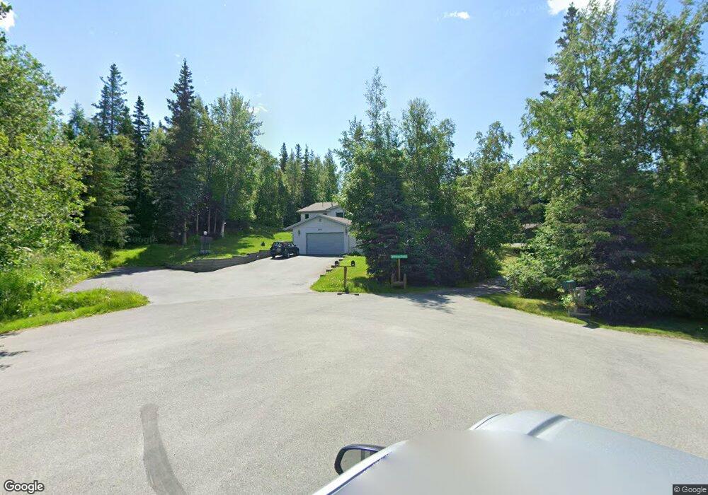
6810 Crooked Tree Cir Anchorage, AK 99507
Mid-Hillside NeighborhoodEstimated Value: $566,000 - $693,116
4
Beds
3
Baths
1,666
Sq Ft
$383/Sq Ft
Est. Value
About This Home
This home is located at 6810 Crooked Tree Cir, Anchorage, AK 99507 and is currently estimated at $638,529, approximately $383 per square foot. 6810 Crooked Tree Cir is a home located in Anchorage Municipality with nearby schools including O'Malley Elementary School, Hanshew Middle School, and Service High School.
Ownership History
Date
Name
Owned For
Owner Type
Purchase Details
Closed on
Nov 28, 2001
Sold by
Auld Wald B
Bought by
Auld Wade B and Patterson Auld Sue E
Current Estimated Value
Home Financials for this Owner
Home Financials are based on the most recent Mortgage that was taken out on this home.
Original Mortgage
$148,600
Interest Rate
6.63%
Create a Home Valuation Report for This Property
The Home Valuation Report is an in-depth analysis detailing your home's value as well as a comparison with similar homes in the area
Home Values in the Area
Average Home Value in this Area
Purchase History
| Date | Buyer | Sale Price | Title Company |
|---|---|---|---|
| Auld Wade B | -- | Pacific Northwest Title |
Source: Public Records
Mortgage History
| Date | Status | Borrower | Loan Amount |
|---|---|---|---|
| Closed | Auld Wade B | $148,600 |
Source: Public Records
Tax History Compared to Growth
Tax History
| Year | Tax Paid | Tax Assessment Tax Assessment Total Assessment is a certain percentage of the fair market value that is determined by local assessors to be the total taxable value of land and additions on the property. | Land | Improvement |
|---|---|---|---|---|
| 2025 | $5,069 | $611,300 | $115,100 | $496,200 |
| 2024 | $5,069 | $563,300 | $109,700 | $453,600 |
| 2023 | $7,736 | $497,500 | $105,500 | $392,000 |
| 2022 | $4,594 | $492,600 | $105,500 | $387,100 |
| 2021 | $7,632 | $452,400 | $105,500 | $346,900 |
| 2020 | $3,386 | $438,500 | $105,500 | $333,000 |
| 2019 | $3,641 | $440,300 | $105,500 | $334,800 |
| 2018 | $3,520 | $432,500 | $119,500 | $313,000 |
| 2017 | $4,054 | $443,200 | $119,500 | $323,700 |
| 2016 | $3,284 | $451,600 | $119,500 | $332,100 |
| 2015 | $3,284 | $431,100 | $115,500 | $315,600 |
| 2014 | $3,284 | $415,300 | $101,300 | $314,000 |
Source: Public Records
Map
Nearby Homes
- 6815 Double Tree Ct
- 6411 Ridge Tree Cir
- 6460 Limestone Cir
- 5900 Orth Cir
- 6550 Rockridge Dr
- L7 Panorama Dr
- L13 Panorama Dr
- L3 Panorama Dr
- L6 Panorama Dr
- L11 Panorama Dr
- L2 Panorama Dr
- L10 Panorama Dr
- 11840 Coughlan Way
- L3 Totem Rd
- 10960 Totem Rd
- 0 Rd
- 11800 Nebesna Dr
- 000 Valley View Dr
- 11831 Moose Rd
- 9203 Strutz Ave
- 6800 Crooked Tree Cir
- 6851 Round Tree Cir
- 6901 Round Tree Dr
- 6760 Crooked Tree Cir
- 6820 Crooked Tree Cir
- 6841 Round Tree Cir
- 6750 Crooked Tree Cir
- L20 B6 Round Tree Cir
- 6911 Round Tree Dr
- 6831 Round Tree Cir
- 6830 Crooked Tree Cir
- 6641 Round Tree Dr
- 6631 Round Tree Dr
- 6740 Crooked Tree Cir
- 6900 Round Tree Dr
- 6821 Round Tree Cir
- 6721 Round Tree Dr
- 6711 Round Tree Dr
- 6701 Round Tree Dr
- 6661 Round Tree Dr