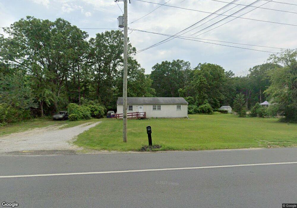
6810 Harding Hwy Mays Landing, NJ 08330
Estimated Value: $186,021 - $311,000
--
Bed
--
Bath
1,012
Sq Ft
$255/Sq Ft
Est. Value
About This Home
This home is located at 6810 Harding Hwy, Mays Landing, NJ 08330 and is currently estimated at $258,005, approximately $254 per square foot. 6810 Harding Hwy is a home located in Atlantic County with nearby schools including Joseph Shaner School, George L. Hess Educational Complex, and William Davies Middle School.
Ownership History
Date
Name
Owned For
Owner Type
Purchase Details
Closed on
May 31, 2008
Sold by
Warfield Brenda
Bought by
Mccrae Gerals E
Current Estimated Value
Purchase Details
Closed on
May 1, 2008
Sold by
Mccrae Gerald E
Bought by
Warfield Brenda
Create a Home Valuation Report for This Property
The Home Valuation Report is an in-depth analysis detailing your home's value as well as a comparison with similar homes in the area
Home Values in the Area
Average Home Value in this Area
Purchase History
| Date | Buyer | Sale Price | Title Company |
|---|---|---|---|
| Mccrae Gerals E | -- | None Available | |
| Warfield Brenda | -- | None Available |
Source: Public Records
Tax History Compared to Growth
Tax History
| Year | Tax Paid | Tax Assessment Tax Assessment Total Assessment is a certain percentage of the fair market value that is determined by local assessors to be the total taxable value of land and additions on the property. | Land | Improvement |
|---|---|---|---|---|
| 2025 | $3,260 | $102,300 | $41,000 | $61,300 |
| 2024 | $3,260 | $102,300 | $41,000 | $61,300 |
| 2023 | $3,300 | $102,300 | $41,000 | $61,300 |
| 2022 | $3,300 | $102,300 | $41,000 | $61,300 |
| 2021 | $3,293 | $102,300 | $41,000 | $61,300 |
| 2020 | $3,293 | $102,300 | $41,000 | $61,300 |
| 2019 | $3,301 | $102,300 | $41,000 | $61,300 |
| 2018 | $3,186 | $102,300 | $41,000 | $61,300 |
| 2017 | $3,136 | $102,300 | $41,000 | $61,300 |
| 2016 | $3,048 | $102,300 | $41,000 | $61,300 |
| 2015 | $2,944 | $102,300 | $41,000 | $61,300 |
| 2014 | $2,963 | $112,800 | $46,800 | $66,000 |
Source: Public Records
Map
Nearby Homes
- 0 Merton Ave Unit NJAC2020566
- 6361 Beacon Ave
- 6839 Harding Hwy
- 0 South Ave
- 6752 Harding Hwy
- 0 Railroad Blvd
- 6414 Strand Ave
- 6422 Strand Ave
- 6141 Harley Ave
- 1368 Sitka Ave
- 1362 Annapolis Ave
- 6917 Market St
- 0 Wheeling Ave Unit NJAC2018470
- 1516 Thirty Third St
- 5485 Landis Ave
- 328 Llewellyn Ave
- 329 Millville Ave
- 0 0 Strand Ave
- 0 San Francisco Ave
- 301 Broad St
- 6814 Harding Hwy
- 6806 Harding Hwy
- 6809 Harding Hwy
- 6804 Harding Hwy
- 6820 Harding Hwy
- 6800 Harding Hwy
- 6805 Harding Hwy
- 6821 Harding Hwy
- 6396 Beacon Ave
- 6815 Harding Hwy
- 6797 Harding Hwy
- L18 Beacon Ave
- 6397 Beacon Ave
- 6392 Beacon Ave
- 6825 Harding Hwy
- 6791 Harding Hwy
- 6393 Beacon Ave
- 6828 Old Landis Ave
- 6788 Harding Hwy
- 6830 Old Landis Ave