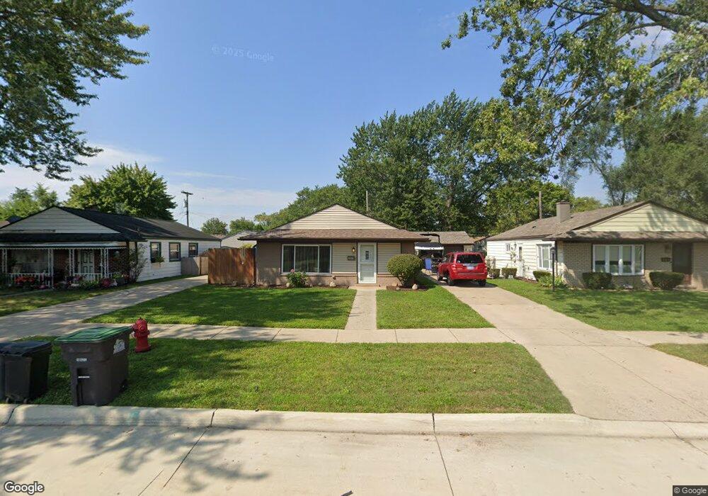
6810 Harding St Taylor, MI 48180
Estimated Value: $123,902 - $186,000
Studio
--
Bath
1,001
Sq Ft
$157/Sq Ft
Est. Value
About This Home
This home is located at 6810 Harding St, Taylor, MI 48180 and is currently estimated at $157,226, approximately $157 per square foot. 6810 Harding St is a home located in Wayne County with nearby schools including Taylor Parks Elementary School and Robert J. West Middle School.
Ownership History
Date
Name
Owned For
Owner Type
Purchase Details
Closed on
Jun 13, 2020
Sold by
Demattio Joseph John
Bought by
Demattio Joseph John and Gerdes Jean A
Current Estimated Value
Home Financials for this Owner
Home Financials are based on the most recent Mortgage that was taken out on this home.
Original Mortgage
$87,500
Interest Rate
3.2%
Mortgage Type
New Conventional
Purchase Details
Closed on
Aug 7, 2018
Sold by
Demattio Amy Lynn
Bought by
Demattio Joseph John
Create a Home Valuation Report for This Property
The Home Valuation Report is an in-depth analysis detailing your home's value as well as a comparison with similar homes in the area
Home Values in the Area
Average Home Value in this Area
Purchase History
| Date | Buyer | Sale Price | Title Company |
|---|---|---|---|
| Demattio Joseph John | -- | Timios Inc | |
| Demattio Joseph John | -- | None Available |
Source: Public Records
Mortgage History
| Date | Status | Borrower | Loan Amount |
|---|---|---|---|
| Closed | Demattio Joseph John | $87,500 |
Source: Public Records
Tax History
| Year | Tax Paid | Tax Assessment Tax Assessment Total Assessment is a certain percentage of the fair market value that is determined by local assessors to be the total taxable value of land and additions on the property. | Land | Improvement |
|---|---|---|---|---|
| 2025 | $1,073 | $52,200 | $0 | $0 |
| 2024 | $1,039 | $46,200 | $0 | $0 |
| 2023 | $1,250 | $39,300 | $0 | $0 |
| 2022 | $943 | $34,300 | $0 | $0 |
| 2021 | $1,045 | $32,300 | $0 | $0 |
| 2020 | $1,035 | $28,000 | $0 | $0 |
| 2019 | $103,386 | $24,100 | $0 | $0 |
| 2018 | $810 | $18,900 | $0 | $0 |
| 2017 | $461 | $18,700 | $0 | $0 |
| 2016 | $1,041 | $18,600 | $0 | $0 |
| 2015 | $2,080 | $20,800 | $0 | $0 |
| 2013 | $2,090 | $21,600 | $0 | $0 |
| 2012 | $1,240 | $28,300 | $7,500 | $20,800 |
Source: Public Records
Map
Nearby Homes
- 20916 Pinecrest St
- 7235 Mortenview Dr
- 7267 William St
- 7571 William St
- 6485 Huron St
- 7124 Weddel St
- 7882 Campbell St
- 7580 Mayfair St
- 6764 Jackson St
- 7120 Jackson St
- 20233 Pinecrest St
- 7972 Hipp St
- 7169 Ziegler St
- 7854 Jackson St
- 8019 Roosevelt St
- 8029 Roosevelt St
- 6730 Buckingham Ave
- 8071 Roosevelt St
- 20234 Champaign St
- 7210 Buckingham Ave
- 6800 Harding St
- 6824 Harding St
- 6840 Harding St
- 6764 Harding St
- 6847 Mortenview Dr
- 6853 Mortenview Dr
- 6744 Harding St
- 6865 Mortenview Dr
- 6761 Mortenview Dr
- 6811 Harding St
- 6801 Harding St
- 6825 Harding St
- 6765 Harding St
- 6841 Harding St
- 6732 Harding St
- 6733 Mortenview Dr
- 6853 Harding St
- 6753 Harding St
- 6865 Harding St
- 6741 Harding St
Your Personal Tour Guide
Ask me questions while you tour the home.