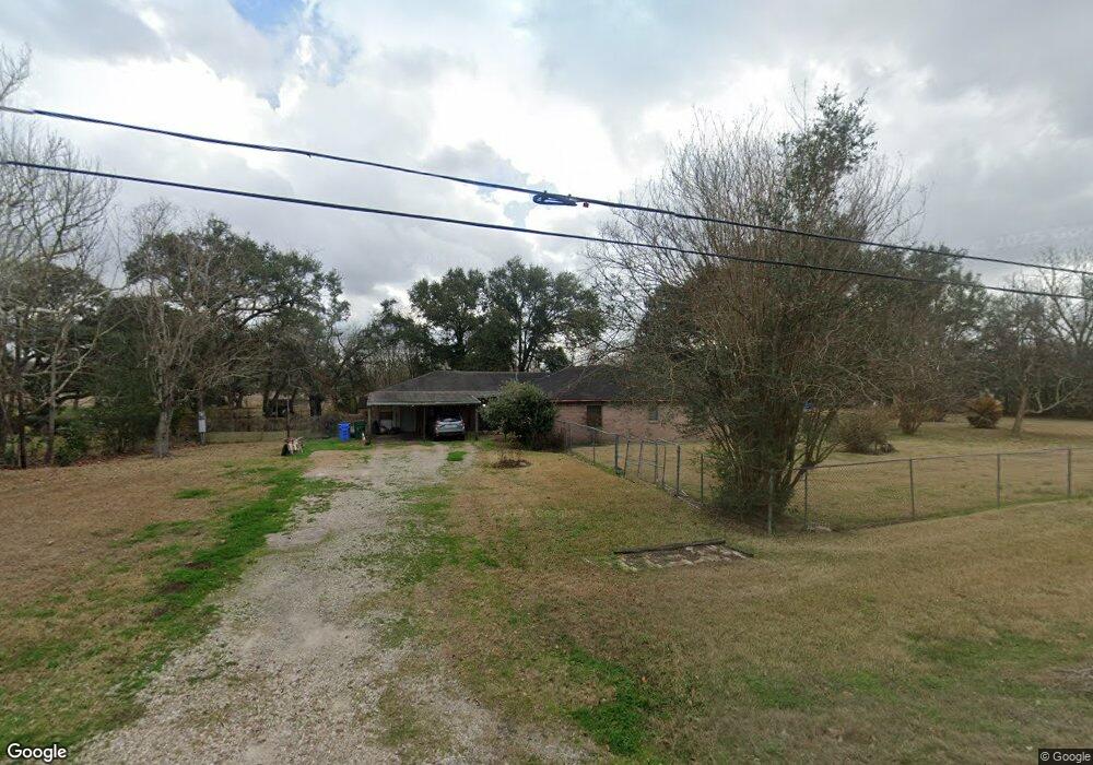
6811 Cemetary Rd Manvel, TX 77578
Estimated Value: $388,490 - $693,000
3
Beds
2
Baths
3,240
Sq Ft
$158/Sq Ft
Est. Value
About This Home
This home is located at 6811 Cemetary Rd, Manvel, TX 77578 and is currently estimated at $510,623, approximately $157 per square foot. 6811 Cemetary Rd is a home located in Brazoria County with nearby schools including E.C. Mason Elementary School and Manvel High School.
Ownership History
Date
Name
Owned For
Owner Type
Purchase Details
Closed on
Aug 21, 2025
Sold by
Pippin Theresa R and Vaz Theresa
Bought by
Vaz Theresa and Vaz Max
Current Estimated Value
Home Financials for this Owner
Home Financials are based on the most recent Mortgage that was taken out on this home.
Original Mortgage
$308,750
Outstanding Balance
$308,483
Interest Rate
6.72%
Mortgage Type
Credit Line Revolving
Estimated Equity
$202,140
Purchase Details
Closed on
Jul 1, 2008
Sold by
Pippin Robert W
Bought by
Pippin Theresa R
Purchase Details
Closed on
Nov 18, 2004
Sold by
Roane Linda
Bought by
Pippin Robert and Pippin Theresa R
Home Financials for this Owner
Home Financials are based on the most recent Mortgage that was taken out on this home.
Original Mortgage
$158,300
Interest Rate
5.87%
Mortgage Type
Purchase Money Mortgage
Create a Home Valuation Report for This Property
The Home Valuation Report is an in-depth analysis detailing your home's value as well as a comparison with similar homes in the area
Home Values in the Area
Average Home Value in this Area
Purchase History
| Date | Buyer | Sale Price | Title Company |
|---|---|---|---|
| Vaz Theresa | -- | None Listed On Document | |
| Pippin Theresa R | -- | None Available | |
| Pippin Robert | -- | Alamo Title Company |
Source: Public Records
Mortgage History
| Date | Status | Borrower | Loan Amount |
|---|---|---|---|
| Open | Vaz Theresa | $308,750 | |
| Previous Owner | Pippin Robert | $158,300 | |
| Closed | Pippin Theresa R | $0 |
Source: Public Records
Tax History Compared to Growth
Tax History
| Year | Tax Paid | Tax Assessment Tax Assessment Total Assessment is a certain percentage of the fair market value that is determined by local assessors to be the total taxable value of land and additions on the property. | Land | Improvement |
|---|---|---|---|---|
| 2025 | $2,700 | $187,550 | $110,120 | $239,170 |
| 2023 | $2,700 | $192,559 | $110,120 | $170,900 |
| 2022 | $4,728 | $175,054 | $64,320 | $112,340 |
| 2021 | $4,502 | $159,140 | $59,720 | $99,420 |
| 2020 | $4,550 | $159,140 | $59,720 | $99,420 |
| 2019 | $4,303 | $143,200 | $50,530 | $92,670 |
| 2018 | $5,119 | $177,080 | $66,150 | $110,930 |
| 2017 | $5,169 | $177,080 | $66,150 | $110,930 |
| 2016 | $5,676 | $236,450 | $59,730 | $176,720 |
| 2015 | $4,250 | $178,140 | $44,240 | $133,900 |
| 2014 | $4,250 | $158,470 | $44,240 | $114,230 |
Source: Public Records
Map
Nearby Homes
- 5035 Prairie Gourd Meadow
- 5102 Pomegranate Path
- 6655 Cemetery Rd
- 0 Lewis Ln
- 20503 Morris Ave
- 21219 Horse Shoe Dr
- 7643 Dalmolin Rd
- 21214 Creek Rd
- 1 Wolfe Ln
- TBD Morris Ave
- 7146 Masters Rd
- 7431 Rodgers Rd
- 21103 Highway 6
- 7315 Pine St
- 7142 Lewis Ln
- 807 Starduster
- 00 Palmetto St
- 9108 Quail Ridge Dr
- 19 Hal McClain
- 0 Hwy 6 Unit 51687667
- 6819 Cemetary Rd
- 6820 Cemetary Rd
- 7520 Flora Rd
- 6755 Cemetary Rd Unit 96
- 6910 Alabama St
- 6902 Cemetary Rd
- 6750 Cemetary Rd Unit 96
- 6911 Cemetary Rd
- 6900 Alabama St
- 6733 Cemetary Rd
- 7514 Flora Rd
- 6731 Cemetery Rd
- 6731 Cemetary Rd Unit 96
- 7512 Flora Rd
- 6919 Cemetary Rd
- 6918 Alabama St
- 2502 Forbidden Fig Row
- 5927 Red River Dr
- 19230 Bluewater Terrace Dr
- 5930 Red River Dr