68115 Handel St Bridgeport, OH 43912
Estimated Value: $126,000 - $161,000
2
Beds
1
Bath
1,398
Sq Ft
$103/Sq Ft
Est. Value
About This Home
This home is located at 68115 Handel St, Bridgeport, OH 43912 and is currently estimated at $143,500, approximately $102 per square foot. 68115 Handel St is a home with nearby schools including Bridgeport Elementary School, Bridgeport Middle School, and Bridgeport High School.
Ownership History
Date
Name
Owned For
Owner Type
Purchase Details
Closed on
Aug 2, 2018
Sold by
West Margaret
Bought by
West Wayne C
Current Estimated Value
Purchase Details
Closed on
Jun 30, 2017
Sold by
West Wayne C
Bought by
West Margaret
Purchase Details
Closed on
May 9, 1995
Sold by
West Wayne C
Bought by
West Wayne C
Purchase Details
Closed on
Nov 27, 1991
Sold by
West Wayne C and West Patricia L
Bought by
West Wayne C and West Patricia L
Purchase Details
Closed on
Jan 1, 1986
Sold by
Bowdish Merwyn C and Bowdish Cindy
Bought by
Bowdish Merwyn C and Bowdish Cindy
Create a Home Valuation Report for This Property
The Home Valuation Report is an in-depth analysis detailing your home's value as well as a comparison with similar homes in the area
Home Values in the Area
Average Home Value in this Area
Purchase History
| Date | Buyer | Sale Price | Title Company |
|---|---|---|---|
| West Wayne C | -- | None Available | |
| West Margaret | -- | Attorney | |
| West Wayne C | -- | -- | |
| West Wayne C | $29,900 | -- | |
| Bowdish Merwyn C | -- | -- |
Source: Public Records
Tax History Compared to Growth
Tax History
| Year | Tax Paid | Tax Assessment Tax Assessment Total Assessment is a certain percentage of the fair market value that is determined by local assessors to be the total taxable value of land and additions on the property. | Land | Improvement |
|---|---|---|---|---|
| 2024 | $239 | $5,210 | $1,430 | $3,780 |
| 2023 | $286 | $6,670 | $1,430 | $5,240 |
| 2022 | $285 | $6,672 | $1,432 | $5,240 |
| 2021 | $284 | $6,675 | $1,432 | $5,243 |
| 2020 | $291 | $6,440 | $1,250 | $5,190 |
| 2019 | $293 | $6,440 | $1,250 | $5,190 |
| 2018 | $281 | $6,440 | $1,250 | $5,190 |
| 2017 | $293 | $5,830 | $1,330 | $4,500 |
| 2016 | $298 | $5,830 | $1,330 | $4,500 |
| 2015 | $312 | $5,830 | $1,330 | $4,500 |
| 2014 | $325 | $6,440 | $1,210 | $5,230 |
| 2013 | $790 | $18,190 | $1,210 | $16,980 |
Source: Public Records
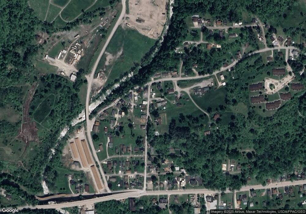
Map
Nearby Homes
- 53679 Quimby Ave
- 67867 Crosley Rd
- 0 Poplar Dr Unit 4491238
- 0 Maple Dr Unit T9516724
- 68960 Pine Terrace Rd
- 54980 Maple Ave
- 55273 Poplar Ave
- 68511 Liston Ave
- 68000 Walnut St
- 69657 Chermont Rd
- 55480 National Rd
- 55490 National Rd
- 55500 National Rd
- 55560 Poplar Ave
- 67330 Ebbert Rd S Unit 9
- 51945 William Ln
- 65893 McGregor Hill Rd
- 70571 Pine Hollow Rd
- 51235 Burwood Dr
- 70540 Colerain Rd
- 68119 Handel St
- 68125 Blaine Chermont Rd
- 68125 Blaine Chermont Rd
- 68091 Handel St
- 68098 Handel St
- 68110 Handel St
- 68100 Handel St
- 68121 Handel St
- 68084 Handel St
- 68091 Handel St
- 68115 Blaine Chermont Rd
- 68118 Blaine Chermont Rd
- 68058 Handel St
- 68095 Blaine Chermont Rd
- 68124 Blaine Chermont Rd
- 68047 Blaine Chermont Rd
- 68089 Jo-Al Dr
- 68041 Handel St
- 68061 Blaine Chermont Rd
- 68130 Blaine Chermont Rd