6813 N Us Highway 12 Spring Grove, IL 60081
Estimated Value: $555,628 - $585,000
3
Beds
3
Baths
2,267
Sq Ft
$249/Sq Ft
Est. Value
About This Home
This home is located at 6813 N Us Highway 12, Spring Grove, IL 60081 and is currently estimated at $563,407, approximately $248 per square foot. 6813 N Us Highway 12 is a home located in McHenry County with nearby schools including Spring Grove Elementary School, Nippersink Middle School, and Richmond-Burton High School.
Ownership History
Date
Name
Owned For
Owner Type
Purchase Details
Closed on
Apr 25, 2012
Sold by
Garstkiewicz Martin and Garstkiewicz Cynthia
Bought by
Berger Charles W and Berger Lisa L
Current Estimated Value
Home Financials for this Owner
Home Financials are based on the most recent Mortgage that was taken out on this home.
Original Mortgage
$262,675
Outstanding Balance
$183,523
Interest Rate
4.08%
Mortgage Type
New Conventional
Estimated Equity
$379,884
Purchase Details
Closed on
May 12, 2001
Sold by
Bergquist Lawrence J
Bought by
Garstkiewicz Martin and Garstkiewicz Cindy
Create a Home Valuation Report for This Property
The Home Valuation Report is an in-depth analysis detailing your home's value as well as a comparison with similar homes in the area
Home Values in the Area
Average Home Value in this Area
Purchase History
| Date | Buyer | Sale Price | Title Company |
|---|---|---|---|
| Berger Charles W | $276,500 | Old Republic National Title | |
| Garstkiewicz Martin | $89,190 | -- |
Source: Public Records
Mortgage History
| Date | Status | Borrower | Loan Amount |
|---|---|---|---|
| Open | Berger Charles W | $262,675 |
Source: Public Records
Tax History Compared to Growth
Tax History
| Year | Tax Paid | Tax Assessment Tax Assessment Total Assessment is a certain percentage of the fair market value that is determined by local assessors to be the total taxable value of land and additions on the property. | Land | Improvement |
|---|---|---|---|---|
| 2024 | $9,853 | $145,096 | $47,409 | $97,687 |
| 2023 | $9,801 | $135,326 | $44,217 | $91,109 |
| 2022 | $9,226 | $119,041 | $38,896 | $80,145 |
| 2021 | $8,770 | $112,218 | $36,667 | $75,551 |
| 2020 | $8,577 | $107,273 | $35,051 | $72,222 |
| 2019 | $8,642 | $105,605 | $34,506 | $71,099 |
| 2018 | $8,831 | $102,340 | $33,439 | $68,901 |
| 2017 | $8,721 | $96,103 | $31,401 | $64,702 |
| 2016 | $8,765 | $91,781 | $29,989 | $61,792 |
| 2013 | -- | $87,272 | $24,998 | $62,274 |
Source: Public Records
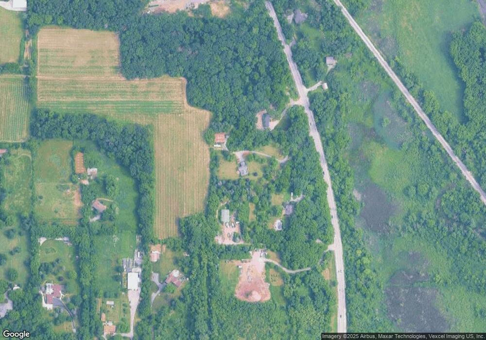
Map
Nearby Homes
- 6436 Johnsburg Rd
- 7075 Hidden Green Cir
- 6415 N Shore Ave
- 7103 Hidden Green Cir
- Lot 0 Sunset Rd
- 7503 Windsor Ave
- 7220 State Park Rd
- 1410 Linden Rd
- 7003 Bogie Ln
- 57 Vail Colony Unit 7
- 45 Nassau Colony Unit 4
- 59 Vail Colony Unit 3
- 40 Bermuda Colony Unit 7
- 58 Vail Colony Unit 11
- 52 Oak Hill Colony Unit 4
- 56 Vail Colony Unit 5
- 38265 N State Park Rd
- 1710 Elm St
- 6719 W Applewood Ln
- 1711 Cedar Ln
- 6811 N Us Highway 12
- 762 N Us Highway 12
- 912 Sunset Rd
- 1010 Sunset Rd
- 6818 U S 12
- 6818 N Us Highway 12
- 1008 Sunset Rd
- 1018 Sunset Rd
- 901 Sunset Rd
- 901 Oak Hill Dr
- 905 Oak Hill Dr
- 907 Oak Hill Dr
- Lot 5 and 6 Oak Hill Dr
- 6720 Johnsburg Rd
- 6610 Johnsburg Rd
- 6704 Johnsburg Rd
- 903 Oak Hill Dr
- Lot N Johnsburg Rd
- 7010 Johnsburg Rd
- 6916 Johnsburg Rd