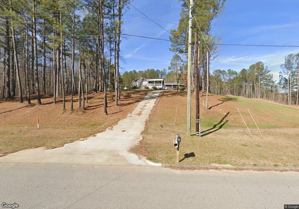
6815 Highway 78 Heflin, AL 36264
Estimated Value: $218,000 - $288,752
3
Beds
2
Baths
2,103
Sq Ft
$122/Sq Ft
Est. Value
About This Home
This home is located at 6815 Highway 78, Heflin, AL 36264 and is currently estimated at $256,188, approximately $121 per square foot. 6815 Highway 78 is a home located in Cleburne County.
Ownership History
Date
Name
Owned For
Owner Type
Purchase Details
Closed on
Nov 17, 2021
Sold by
Wheat Stephen T and Wheat Feucia O
Bought by
Wheat Stephen T and Wheat Felicia O
Current Estimated Value
Home Financials for this Owner
Home Financials are based on the most recent Mortgage that was taken out on this home.
Original Mortgage
$200,000
Outstanding Balance
$183,418
Interest Rate
3.05%
Mortgage Type
New Conventional
Estimated Equity
$72,770
Purchase Details
Closed on
Jun 16, 2009
Sold by
Federal Home Loan Mortgage Corporation
Bought by
Owen Felicia
Purchase Details
Closed on
Nov 30, 2006
Sold by
Smith Gladys I and Smith Troy I
Bought by
Gilchrest Kerry J
Create a Home Valuation Report for This Property
The Home Valuation Report is an in-depth analysis detailing your home's value as well as a comparison with similar homes in the area
Home Values in the Area
Average Home Value in this Area
Purchase History
| Date | Buyer | Sale Price | Title Company |
|---|---|---|---|
| Wheat Stephen T | -- | Rice & Yates Pc | |
| Owen Felicia | $85,000 | -- | |
| Gilchrest Kerry J | -- | -- |
Source: Public Records
Mortgage History
| Date | Status | Borrower | Loan Amount |
|---|---|---|---|
| Open | Wheat Stephen T | $200,000 |
Source: Public Records
Tax History Compared to Growth
Tax History
| Year | Tax Paid | Tax Assessment Tax Assessment Total Assessment is a certain percentage of the fair market value that is determined by local assessors to be the total taxable value of land and additions on the property. | Land | Improvement |
|---|---|---|---|---|
| 2024 | $741 | $37,438 | $4,580 | $32,858 |
| 2023 | $693 | $34,112 | $4,240 | $29,872 |
| 2022 | $579 | $34,112 | $4,240 | $29,872 |
| 2021 | $586 | $34,498 | $4,240 | $30,258 |
| 2020 | $549 | $32,574 | $5,040 | $27,534 |
| 2019 | $549 | $32,574 | $5,040 | $27,534 |
| 2018 | $316 | $19,926 | $5,040 | $14,886 |
| 2017 | $316 | $19,926 | $5,040 | $14,886 |
| 2016 | $299 | $18,996 | $0 | $0 |
| 2015 | $299 | $94,980 | $0 | $0 |
| 2014 | $299 | $94,980 | $0 | $0 |
| 2013 | $299 | $94,980 | $0 | $0 |
Source: Public Records
Map
Nearby Homes
- 14381 County Road 66
- 511 Evans Bridge Rd
- 0 Highway 46 Unit 2 21430866
- 0 Highway 46 Unit 1.9 21430374
- 227 Bennett St
- 820 Boozer Rd
- 988 Boozer Rd
- 201 Bell St
- 939 Boozer Rd
- 5704 Highway 46
- 760 Bedwell St
- 772 Bedwell St
- 15410 County Road 66
- 44 Freeman St
- 59 Freeman St
- 0 Osborn St Unit 1 21413432
- 0 Highway 9 Unit 21378462
- 0 Highway 9 Unit 1319111
- 357 Perryman Bridge Rd
- 0 Osborne St Unit 21413431
- 7061 Highway 78
- 3995 Hwy 78
- 6738 Highway 78
- 7141 Highway 78
- 7120 Highway 78
- 6564 Highway 78
- 1992 Davidson Rd
- 6771 Highway 78
- 7196 Highway 78
- 7246 Highway 78
- 6319 Highway 78
- 0 County Road 27 Unit 819905
- 0 County Road 27 Unit 1 391084
- 6970 Highway 78
- 6311 Highway 78
- 5971 Highway 78
- 261 Ervin Cir
- 6056 Highway 78
- 6056 Highway 78
- 1948 County Road 66