6815 Kantwell Ln Unit BLDG27 Dayton, OH 45459
Estimated Value: $223,970 - $261,000
3
Beds
2
Baths
1,438
Sq Ft
$167/Sq Ft
Est. Value
About This Home
This home is located at 6815 Kantwell Ln Unit BLDG27, Dayton, OH 45459 and is currently estimated at $239,493, approximately $166 per square foot. 6815 Kantwell Ln Unit BLDG27 is a home located in Montgomery County with nearby schools including Primary Village North, Driscoll Elementary School, and Tower Heights Middle School.
Ownership History
Date
Name
Owned For
Owner Type
Purchase Details
Closed on
Jul 31, 2019
Sold by
Linkous Bernice L
Bought by
Dille Mary Lynn
Current Estimated Value
Home Financials for this Owner
Home Financials are based on the most recent Mortgage that was taken out on this home.
Original Mortgage
$100,000
Outstanding Balance
$87,582
Interest Rate
3.7%
Mortgage Type
New Conventional
Estimated Equity
$151,911
Purchase Details
Closed on
Oct 29, 2001
Sold by
Roddy Carolyn A and Roddy Carolyn A
Bought by
Sharkey Norma
Home Financials for this Owner
Home Financials are based on the most recent Mortgage that was taken out on this home.
Original Mortgage
$30,000
Interest Rate
6.8%
Purchase Details
Closed on
Dec 21, 1994
Sold by
Carlson Robyn R
Bought by
Roddy Carolyn A
Create a Home Valuation Report for This Property
The Home Valuation Report is an in-depth analysis detailing your home's value as well as a comparison with similar homes in the area
Home Values in the Area
Average Home Value in this Area
Purchase History
| Date | Buyer | Sale Price | Title Company |
|---|---|---|---|
| Dille Mary Lynn | $155,000 | Landmark Ttl Agcy South Inc | |
| Sharkey Norma | $110,000 | -- | |
| Roddy Carolyn A | -- | -- |
Source: Public Records
Mortgage History
| Date | Status | Borrower | Loan Amount |
|---|---|---|---|
| Open | Dille Mary Lynn | $100,000 | |
| Previous Owner | Sharkey Norma | $30,000 |
Source: Public Records
Tax History Compared to Growth
Tax History
| Year | Tax Paid | Tax Assessment Tax Assessment Total Assessment is a certain percentage of the fair market value that is determined by local assessors to be the total taxable value of land and additions on the property. | Land | Improvement |
|---|---|---|---|---|
| 2024 | $3,702 | $62,270 | $11,340 | $50,930 |
| 2023 | $3,702 | $62,270 | $11,340 | $50,930 |
| 2022 | $3,458 | $46,120 | $8,400 | $37,720 |
| 2021 | $3,467 | $46,120 | $8,400 | $37,720 |
| 2020 | $3,462 | $46,120 | $8,400 | $37,720 |
| 2019 | $2,256 | $36,060 | $8,400 | $27,660 |
| 2018 | $2,001 | $36,060 | $8,400 | $27,660 |
| 2017 | $1,978 | $36,060 | $8,400 | $27,660 |
| 2016 | $1,740 | $31,390 | $8,400 | $22,990 |
| 2015 | $2,379 | $31,390 | $8,400 | $22,990 |
| 2014 | $2,379 | $31,390 | $8,400 | $22,990 |
| 2012 | -- | $31,310 | $8,400 | $22,910 |
Source: Public Records
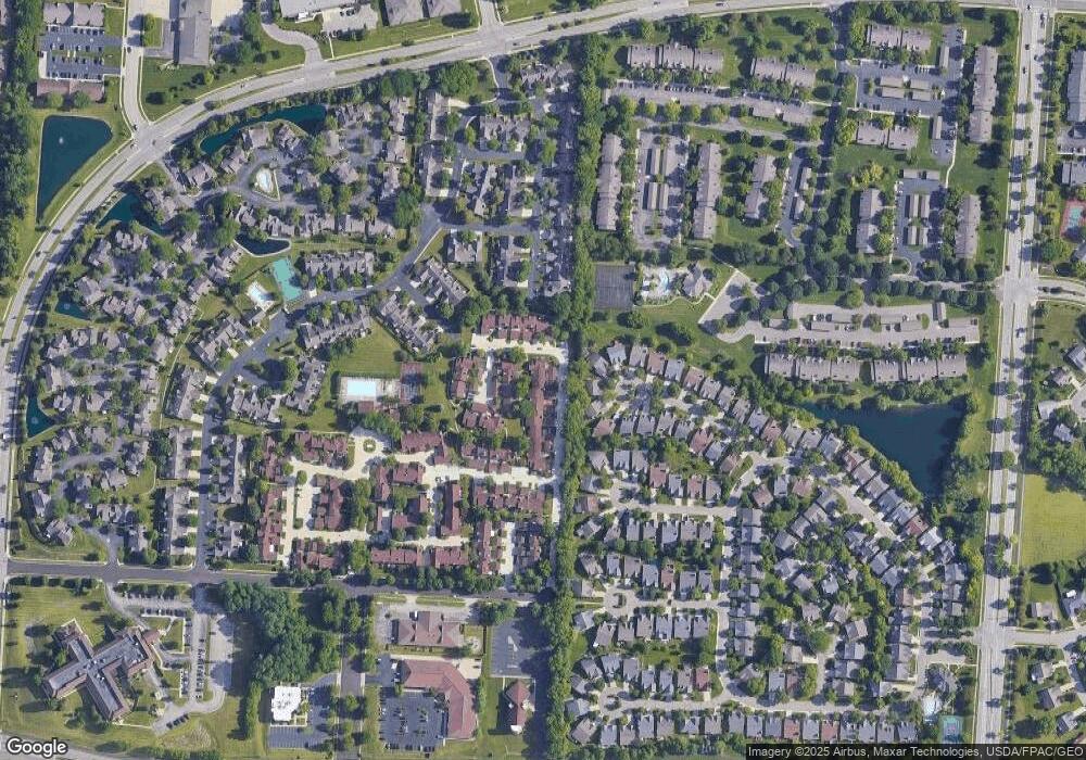
Map
Nearby Homes
- 1237 Chevington Ct Unit 1515
- 1400 Lake Pointe Way Unit 4
- 6892 Tifton Green Trail Unit 74
- 6839 Cedar Cove Dr Unit 3993
- 6839 Cedar Cove Dr Unit 93
- 1511 Lake Pointe Way Unit 6
- 6610 Green Branch Dr
- 6620 Green Branch Dr Unit 8
- 6694 Wareham Ct
- 6650 Wareham Ct Unit 5
- 6625 Hedington Square
- 7129 Fallen Oak Trace Unit 839
- 6611 Brigham Square Unit 2
- 7128 Hartcrest Ln Unit 130
- 7128 Hartcrest Ln Unit 130130
- 1953 Baldwin Dr
- 7215 Whitetail Trail Unit 108108
- 6184 Quinella Way Unit 185
- 1973 Home Path Ct
- 6521 Shadow Wynd Cir
- 6805 Kantwell Ln Unit 2626
- 6817 Kantwell Ln Unit BLDG27
- 6813 Kantwell Ln Unit BLDG27
- 6807 Kantwell Ln Unit 2626
- 1316 Glastonbury Ln Unit BLDG28
- 1318 Glastonbury Ln Unit BLDG28
- 1320 Glastonbury Ln Unit 28A1320
- 1314 Glastonbury Ln Unit 28
- 6809 Kantwell Ln Unit 2626
- 6811 Kantwell Ln Unit 27B6811
- 1309 Glastonbury Ln Unit 32
- 1403 Weatherfield Ct Unit 1403
- 1307 Glastonbury Ln Unit 32
- 1305 Glastonbury Ln Unit 32
- 1411 Weatherfield Ct Unit 1411
- 1406 Weatherfield Ct Unit 1406
- 1303 Glastonbury Ln Unit 32
- 1312 Glastonbury Ln Unit 30
- 1310 Glastonbury Ln Unit 30
- 1310 Glanstonbury Ln