6815 Newrock Dr Unit 6815 New Albany, OH 43054
Central College NeighborhoodEstimated Value: $264,000 - $276,000
2
Beds
2
Baths
1,237
Sq Ft
$218/Sq Ft
Est. Value
About This Home
This home is located at 6815 Newrock Dr Unit 6815, New Albany, OH 43054 and is currently estimated at $269,707, approximately $218 per square foot. 6815 Newrock Dr Unit 6815 is a home located in Franklin County with nearby schools including Avalon Elementary School, Northgate Intermediate, and Woodward Park Middle School.
Ownership History
Date
Name
Owned For
Owner Type
Purchase Details
Closed on
Oct 29, 2024
Sold by
Statistika Llc
Bought by
Mcnelis Mark E and Mcnelis Nancy B
Current Estimated Value
Home Financials for this Owner
Home Financials are based on the most recent Mortgage that was taken out on this home.
Original Mortgage
$197,250
Outstanding Balance
$195,275
Interest Rate
6.09%
Mortgage Type
New Conventional
Estimated Equity
$74,432
Purchase Details
Closed on
Jul 27, 2018
Sold by
Arcaro Vinicius Fernando and Nilsson Arcaro Vania Aparecida
Bought by
Statistika Llc
Purchase Details
Closed on
Feb 11, 2009
Sold by
M H Murphy Development Company
Bought by
Arcaro Vinicius Fernando and Arcaro Vania Aparecida Nilsson
Create a Home Valuation Report for This Property
The Home Valuation Report is an in-depth analysis detailing your home's value as well as a comparison with similar homes in the area
Home Values in the Area
Average Home Value in this Area
Purchase History
| Date | Buyer | Sale Price | Title Company |
|---|---|---|---|
| Mcnelis Mark E | $263,000 | Search2close | |
| Statistika Llc | -- | None Available | |
| Arcaro Vinicius Fernando | $149,000 | Stewart Tit |
Source: Public Records
Mortgage History
| Date | Status | Borrower | Loan Amount |
|---|---|---|---|
| Open | Mcnelis Mark E | $197,250 |
Source: Public Records
Tax History Compared to Growth
Tax History
| Year | Tax Paid | Tax Assessment Tax Assessment Total Assessment is a certain percentage of the fair market value that is determined by local assessors to be the total taxable value of land and additions on the property. | Land | Improvement |
|---|---|---|---|---|
| 2024 | $3,782 | $82,530 | $16,450 | $66,080 |
| 2023 | $3,735 | $82,530 | $16,450 | $66,080 |
| 2022 | $3,203 | $60,270 | $8,750 | $51,520 |
| 2021 | $3,209 | $60,270 | $8,750 | $51,520 |
| 2020 | $3,213 | $60,270 | $8,750 | $51,520 |
| 2019 | $2,775 | $44,630 | $6,480 | $38,150 |
| 2018 | $2,719 | $44,630 | $6,480 | $38,150 |
| 2017 | $2,822 | $44,630 | $6,480 | $38,150 |
| 2016 | $2,938 | $44,350 | $7,770 | $36,580 |
| 2015 | $2,667 | $44,350 | $7,770 | $36,580 |
| 2014 | $2,673 | $44,350 | $7,770 | $36,580 |
| 2013 | $1,465 | $49,280 | $8,645 | $40,635 |
Source: Public Records
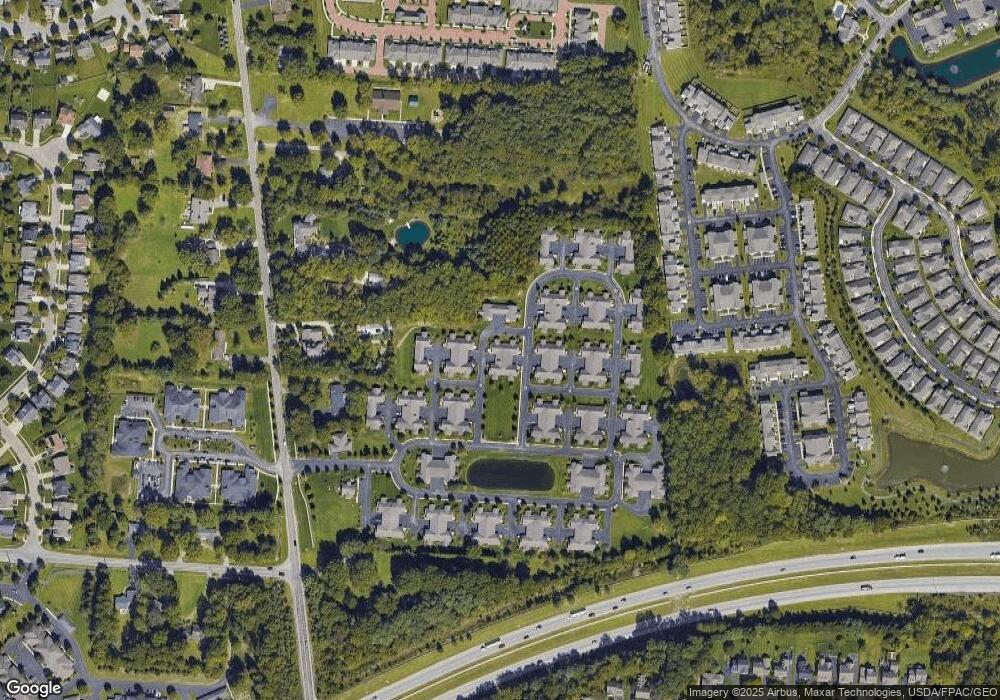
Map
Nearby Homes
- 6806 Newrock Dr
- 6813 Ridge Rock Dr Unit 14
- 6789 Rolfe Ave
- 5445 Welbourne Place Unit 25
- 5556 Falco Dr
- 5608 Apothecary Way
- 5624 Apothecary Way
- 5628 Apothecary Way
- 6923 Rothwell St Unit 46923
- 5664 Apothecary Way
- 5644 Sanibel Ct
- 6771 Bethany Dr
- 5730 Colts Gate Dr Unit 43
- 6710 Bethany Dr
- 5587 Connorwill Dr
- 5767 Colts Gate Dr
- 5650 Harlem Rd
- 5777 Colts Gate Dr Unit 44
- 5338 Apple Ridge Place Unit 5338
- 6501 Walnut Fork Dr Unit 6501
- 6815 Newrock Dr Unit 9-6815
- 6817 Newrock Dr
- 6817 Newrock Dr Unit 19
- 6813 Newrock Dr
- 6819 Newrock Dr
- 6812 Newrock Dr
- 6810 Newrock Dr
- 6818 Newrock Dr
- 6816 Newrock Dr
- 6816 Newrock Dr Unit 26-681
- 6808 Newrock Dr
- 6824 Newrock Dr
- 6828 Newrock Dr
- 6826 Newrock Dr
- 6826 Newrock Dr Unit 20-682
- 6814 Winrock Dr Unit 46814
- 6831 Silverrock Dr
- 6826 Winrock Dr Unit 66826
- 6829 Silver Rock Dr
- 6837 Silverrock Dr