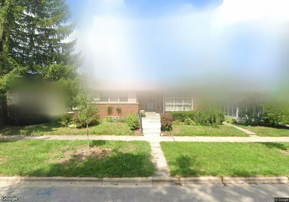
6816 Davis St Morton Grove, IL 60053
Estimated Value: $363,000 - $477,000
3
Beds
1
Bath
974
Sq Ft
$429/Sq Ft
Est. Value
About This Home
This home is located at 6816 Davis St, Morton Grove, IL 60053 and is currently estimated at $417,978, approximately $429 per square foot. 6816 Davis St is a home located in Cook County with nearby schools including Hynes Elementary School, Golf Middle School, and Niles North High School.
Ownership History
Date
Name
Owned For
Owner Type
Purchase Details
Closed on
Aug 15, 2017
Sold by
Penava Remzo and Penava Haseda
Bought by
Penava Remzo and Penava Felistus
Current Estimated Value
Purchase Details
Closed on
Jun 3, 1998
Sold by
Eischen Theresa M
Bought by
Penava Remzo and Penava Haseda
Home Financials for this Owner
Home Financials are based on the most recent Mortgage that was taken out on this home.
Original Mortgage
$152,950
Outstanding Balance
$31,185
Interest Rate
7.27%
Estimated Equity
$386,793
Create a Home Valuation Report for This Property
The Home Valuation Report is an in-depth analysis detailing your home's value as well as a comparison with similar homes in the area
Home Values in the Area
Average Home Value in this Area
Purchase History
| Date | Buyer | Sale Price | Title Company |
|---|---|---|---|
| Penava Remzo | -- | Citywide Title Corporation | |
| Penava Remzo | $161,000 | 1St American Title |
Source: Public Records
Mortgage History
| Date | Status | Borrower | Loan Amount |
|---|---|---|---|
| Open | Penava Remzo | $152,950 |
Source: Public Records
Tax History Compared to Growth
Tax History
| Year | Tax Paid | Tax Assessment Tax Assessment Total Assessment is a certain percentage of the fair market value that is determined by local assessors to be the total taxable value of land and additions on the property. | Land | Improvement |
|---|---|---|---|---|
| 2024 | $6,001 | $28,031 | $7,547 | $20,484 |
| 2023 | $6,907 | $28,031 | $7,547 | $20,484 |
| 2022 | $6,907 | $30,001 | $7,547 | $22,454 |
| 2021 | $5,758 | $22,776 | $4,644 | $18,132 |
| 2020 | $5,721 | $22,776 | $4,644 | $18,132 |
| 2019 | $5,790 | $25,591 | $4,644 | $20,947 |
| 2018 | $5,683 | $22,973 | $4,208 | $18,765 |
| 2017 | $5,721 | $22,973 | $4,208 | $18,765 |
| 2016 | $5,654 | $22,973 | $4,208 | $18,765 |
| 2015 | $5,050 | $19,303 | $3,628 | $15,675 |
| 2014 | $4,969 | $19,303 | $3,628 | $15,675 |
| 2013 | $4,866 | $19,303 | $3,628 | $15,675 |
Source: Public Records
Map
Nearby Homes
- 6638 Hazel St
- 9244 Newcastle Ave
- 8929 Cherry Ave
- 6712 Maple St
- 6909 Beckwith Rd
- 7014 Church St
- 6727 Beckwith Rd
- 8927 Belleforte Ave
- 8836 Sayre Ave
- 9421 Sayre Ave
- 9247 Natchez Ave
- 8661 N National Ave
- 8620 Waukegan Rd Unit 308
- 7207 Church St
- 7215 Beckwith Rd
- 6619 Palma Ln
- 7030 Foster St
- 8630 Waukegan Rd Unit 316
- 7215 Lyons St
- 7302 Ponto Dr
- 9101 Newcastle Ave
- 9105 Newcastle Ave
- 6802 Davis St
- 9109 Newcastle Ave
- 9100 Oak Park Ave
- 9104 Oak Park Ave
- 6817 Davis St
- 6813 Davis St
- 6809 Davis St
- 6821 Davis St
- 9113 Newcastle Ave
- 9108 Oak Park Ave
- 6830 Davis St
- 6805 Davis St
- 6825 Davis St
- 9100 Newcastle Ave
- 9104 Newcastle Ave
- 9112 Oak Park Ave
- 6829 Davis St
- 6801 Davis St