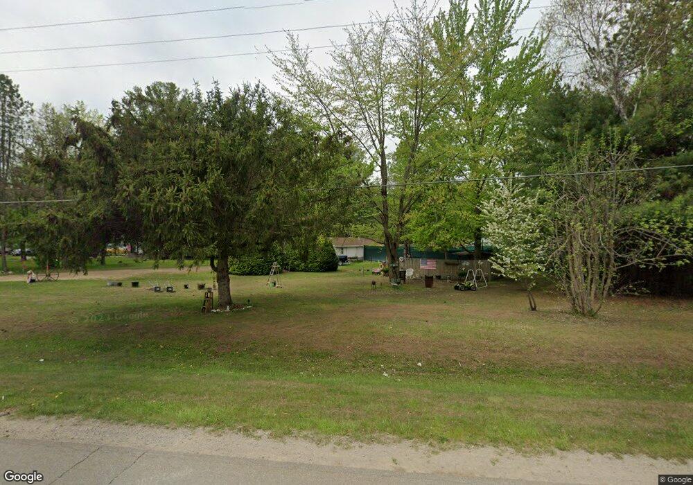
6816 State Rd Vassar, MI 48768
Estimated Value: $63,521 - $263,000
2
Beds
1
Bath
768
Sq Ft
$210/Sq Ft
Est. Value
About This Home
This home is located at 6816 State Rd, Vassar, MI 48768 and is currently estimated at $161,507, approximately $210 per square foot. 6816 State Rd is a home with nearby schools including Central School, Vassar Junior High School, and Vassar Senior High School.
Ownership History
Date
Name
Owned For
Owner Type
Purchase Details
Closed on
Nov 26, 2021
Sold by
Karagosian Timothy H
Bought by
Wood Valley Mhp Llc
Current Estimated Value
Home Financials for this Owner
Home Financials are based on the most recent Mortgage that was taken out on this home.
Original Mortgage
$7,700,000
Outstanding Balance
$5,091,237
Interest Rate
3.14%
Mortgage Type
Stand Alone Refi Refinance Of Original Loan
Estimated Equity
-$4,929,730
Purchase Details
Closed on
Aug 13, 2013
Sold by
Kennard Gene E and Kennard Linda L
Bought by
Kennard Gene E
Create a Home Valuation Report for This Property
The Home Valuation Report is an in-depth analysis detailing your home's value as well as a comparison with similar homes in the area
Purchase History
| Date | Buyer | Sale Price | Title Company |
|---|---|---|---|
| Wood Valley Mhp Llc | -- | None Available | |
| Wood Valley Mhp Llc | -- | None Listed On Document | |
| Kennard Gene E | -- | None Available |
Source: Public Records
Mortgage History
| Date | Status | Borrower | Loan Amount |
|---|---|---|---|
| Open | Wood Valley Mhp Llc | $7,700,000 | |
| Closed | Wood Valley Mhp Llc | $7,700,000 |
Source: Public Records
Tax History Compared to Growth
Tax History
| Year | Tax Paid | Tax Assessment Tax Assessment Total Assessment is a certain percentage of the fair market value that is determined by local assessors to be the total taxable value of land and additions on the property. | Land | Improvement |
|---|---|---|---|---|
| 2025 | $685 | $30,900 | $0 | $0 |
| 2024 | $685 | $24,100 | $0 | $0 |
| 2023 | $873 | $22,200 | $0 | $0 |
| 2022 | $812 | $18,400 | $0 | $0 |
| 2021 | $785 | $17,400 | $0 | $0 |
| 2020 | $774 | $14,800 | $0 | $0 |
| 2019 | $760 | $14,100 | $0 | $0 |
| 2018 | $709 | $15,000 | $0 | $0 |
| 2017 | $698 | $15,600 | $0 | $0 |
| 2016 | $683 | $15,800 | $0 | $0 |
| 2015 | $7 | $14,100 | $0 | $0 |
| 2014 | $7 | $13,200 | $0 | $0 |
| 2013 | $7 | $12,900 | $0 | $0 |
Source: Public Records
Map
Nearby Homes
- 6685 State Rd
- 7118 Irish Rd
- 5947 Hasco Rd
- 0 Evergreen Dr
- 001 Evergreen Dr
- 024 Evergreen Dr
- 022 Evergreen Dr
- 002 Evergreen Dr
- 7464 Irish Rd
- 4743 Brown Rd
- 5446 Rupprecht Rd
- 4562 Hanes Rd
- 639 State Rd
- 3606 Smokey Ridge S Vassar Rd
- #0047 V L Maplegrove Ln
- #0092 V L Nature's Trail Rd
- #0103 V L Nature's Nest
- #0078 V L Natures Nest Rd
- #0101 V L Nature's Trail Rd
- #0015 V L Birch Ln