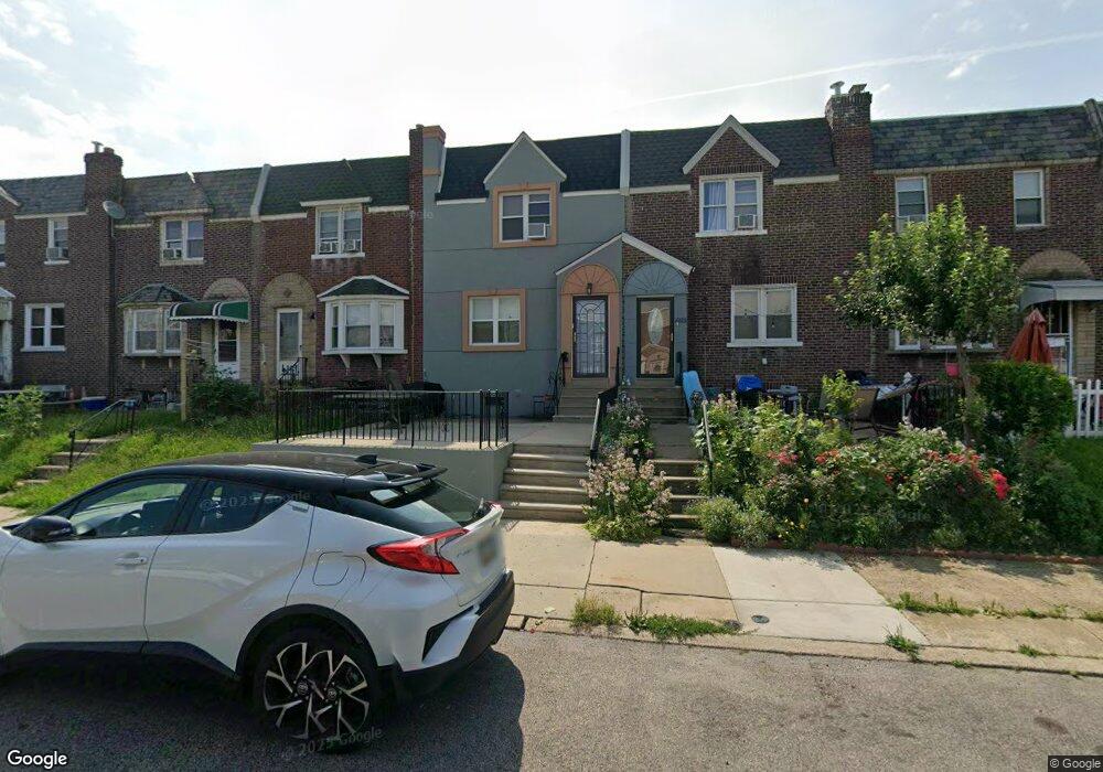
6817 Large St Philadelphia, PA 19149
Castor Gardens NeighborhoodEstimated Value: $212,000 - $233,000
3
Beds
1
Bath
1,280
Sq Ft
$176/Sq Ft
Est. Value
About This Home
This home is located at 6817 Large St, Philadelphia, PA 19149 and is currently estimated at $225,665, approximately $176 per square foot. 6817 Large St is a home located in Philadelphia County with nearby schools including Solomon Solis-Cohen School, Castor Gardens Middle School, and Northeast High School.
Ownership History
Date
Name
Owned For
Owner Type
Purchase Details
Closed on
Jul 11, 2005
Sold by
Mondragon Heyda
Bought by
Mondragon Delgado Heyda
Current Estimated Value
Purchase Details
Closed on
Sep 28, 2001
Sold by
Coleman Margaret Mary and Estate Of Margaret B Amrein
Bought by
Mondragon Delgado Heyda and Mondragon Heyda
Home Financials for this Owner
Home Financials are based on the most recent Mortgage that was taken out on this home.
Original Mortgage
$62,910
Outstanding Balance
$24,625
Interest Rate
6.89%
Estimated Equity
$201,040
Create a Home Valuation Report for This Property
The Home Valuation Report is an in-depth analysis detailing your home's value as well as a comparison with similar homes in the area
Home Values in the Area
Average Home Value in this Area
Purchase History
| Date | Buyer | Sale Price | Title Company |
|---|---|---|---|
| Mondragon Delgado Heyda | -- | -- | |
| Mondragon Delgado Heyda | $69,900 | -- |
Source: Public Records
Mortgage History
| Date | Status | Borrower | Loan Amount |
|---|---|---|---|
| Open | Mondragon Delgado Heyda | $62,910 |
Source: Public Records
Tax History Compared to Growth
Tax History
| Year | Tax Paid | Tax Assessment Tax Assessment Total Assessment is a certain percentage of the fair market value that is determined by local assessors to be the total taxable value of land and additions on the property. | Land | Improvement |
|---|---|---|---|---|
| 2025 | $2,609 | $226,800 | $45,360 | $181,440 |
| 2024 | $2,609 | $226,800 | $45,360 | $181,440 |
| 2023 | $2,609 | $186,400 | $37,280 | $149,120 |
| 2022 | $1,286 | $141,400 | $37,280 | $104,120 |
| 2021 | $1,916 | $0 | $0 | $0 |
| 2020 | $1,916 | $0 | $0 | $0 |
| 2019 | $1,839 | $0 | $0 | $0 |
| 2018 | $1,271 | $0 | $0 | $0 |
| 2017 | $1,691 | $0 | $0 | $0 |
| 2016 | $1,271 | $0 | $0 | $0 |
| 2015 | $1,217 | $0 | $0 | $0 |
| 2014 | -- | $120,800 | $20,630 | $100,170 |
| 2012 | -- | $15,584 | $1,941 | $13,643 |
Source: Public Records
Map
Nearby Homes
- 6834 Large St
- 6827 Lynford St
- 1527 Longshore Ave
- 6829 Horrocks St
- 6739 Lynford St
- 6946 Kindred St
- 7019 Rutland St
- 6640 Souder St
- 7035 Rutland St
- 7034 Souder St
- 7039 Kindred St
- 6626 Lynford St
- 7028 Horrocks St
- 7050 Lynford St
- 6900 Eastwood St
- 1417 Unruh Ave
- 1336 Longshore Ave
- 2011 Longshore Ave
- 7004 Loretto Ave
- 6725 Eastwood St