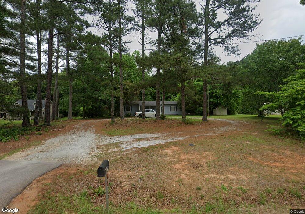
6818 Highway 212 Covington, GA 30016
Estimated Value: $235,000 - $286,000
3
Beds
2
Baths
1,536
Sq Ft
$167/Sq Ft
Est. Value
About This Home
This home is located at 6818 Highway 212, Covington, GA 30016 and is currently estimated at $256,570, approximately $167 per square foot. 6818 Highway 212 is a home located in Newton County with nearby schools including Oak Hill Elementary School, Veterans Memorial Middle School, and Alcovy High School.
Ownership History
Date
Name
Owned For
Owner Type
Purchase Details
Closed on
Apr 28, 2010
Sold by
Federal Natl Mtg Assn Fnma
Bought by
Pollard Phillip L and Pollard Pamela C
Current Estimated Value
Purchase Details
Closed on
Mar 12, 2007
Sold by
Holstein Terry L
Bought by
Cabrera Noris
Home Financials for this Owner
Home Financials are based on the most recent Mortgage that was taken out on this home.
Original Mortgage
$109,250
Interest Rate
6.15%
Mortgage Type
New Conventional
Purchase Details
Closed on
Oct 23, 2006
Sold by
Ogletree David
Bought by
Holstein Terr L
Home Financials for this Owner
Home Financials are based on the most recent Mortgage that was taken out on this home.
Original Mortgage
$67,500
Interest Rate
6.39%
Mortgage Type
New Conventional
Create a Home Valuation Report for This Property
The Home Valuation Report is an in-depth analysis detailing your home's value as well as a comparison with similar homes in the area
Home Values in the Area
Average Home Value in this Area
Purchase History
| Date | Buyer | Sale Price | Title Company |
|---|---|---|---|
| Pollard Phillip L | -- | -- | |
| Cabrera Noris | $115,000 | -- | |
| Holstein Terr L | $75,000 | -- |
Source: Public Records
Mortgage History
| Date | Status | Borrower | Loan Amount |
|---|---|---|---|
| Previous Owner | Cabrera Noris | $109,250 | |
| Previous Owner | Holstein Terr L | $67,500 |
Source: Public Records
Tax History Compared to Growth
Tax History
| Year | Tax Paid | Tax Assessment Tax Assessment Total Assessment is a certain percentage of the fair market value that is determined by local assessors to be the total taxable value of land and additions on the property. | Land | Improvement |
|---|---|---|---|---|
| 2025 | $2,682 | $107,760 | $14,000 | $93,760 |
| 2024 | $2,689 | $106,160 | $19,200 | $86,960 |
| 2023 | $2,324 | $85,640 | $5,600 | $80,040 |
| 2022 | $1,344 | $49,520 | $5,600 | $43,920 |
| 2021 | $1,281 | $42,240 | $5,600 | $36,640 |
| 2020 | $1,211 | $36,040 | $4,800 | $31,240 |
| 2019 | $1,227 | $35,960 | $4,800 | $31,160 |
| 2018 | $902 | $26,280 | $4,800 | $21,480 |
| 2017 | $887 | $25,840 | $4,800 | $21,040 |
| 2016 | $887 | $25,840 | $4,800 | $21,040 |
| 2015 | $880 | $25,640 | $4,800 | $20,840 |
| 2014 | $877 | $25,640 | $0 | $0 |
Source: Public Records
Map
Nearby Homes
- 1925 Oak Hill Rd
- 170 Gibson Way
- 35 Fourwood Dr
- 14908 Brown Bridge Rd
- 20 W Forest Dr
- 5240 Highway 20 S
- 125 Cardinal Ct Unit 1
- 0 Goldfinch Dr
- 0 Goldfinch Dr Unit 7564125
- 130 Goldfinch Dr
- 110 Chapel Heights Way
- 5214 Parkside Dr SE
- 120 Wintergreen Ct
- 6023 Highway 20 S
- 634 Knollwood Cir SE
- 4890 Highway 20 S
- 2178 NE Hillwood Dr
- 339 Buckingham Dr SW
- 50 Butler Bridge Cir
- 4822 Navajo Trail SE
- 6838 Highway 212
- 6852 Highway 212
- 6825 Highway 212
- 6855 Highway 212
- 6791 Highway 212
- 6795 Highway 212
- 6773 Highway 212
- 65 Oakbrook Ct
- 6869 Highway 212
- 6671 Highway 212
- 55 Oakbrook Ct
- 6883 Highway 212
- 6806 Highway 212
- 60 Oakbrook Ct
- 45 Oakbrook Ct
- 50 Oakbrook Ct
- 6905 Highway 212
- 35 Oakbrook Ct
- 2190 Oak Hill Rd
- 6901 Highway 212