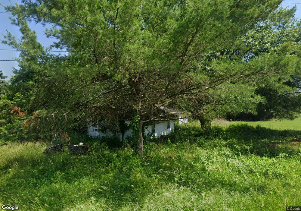
68188 Old Twenty One Rd Cambridge, OH 43725
Estimated Value: $88,000 - $219,000
3
Beds
2
Baths
1,400
Sq Ft
$107/Sq Ft
Est. Value
About This Home
This home is located at 68188 Old Twenty One Rd, Cambridge, OH 43725 and is currently estimated at $150,256, approximately $107 per square foot. 68188 Old Twenty One Rd is a home located in Guernsey County with nearby schools including Cambridge High School.
Ownership History
Date
Name
Owned For
Owner Type
Purchase Details
Closed on
Jul 22, 2022
Sold by
Ford Kimberly R
Bought by
Hofacker Cody Richard and Hofacker Jasmine
Current Estimated Value
Purchase Details
Closed on
Aug 29, 2017
Sold by
Clawson William B
Bought by
Ford William B and Ford Kimberly R
Purchase Details
Closed on
Aug 6, 2007
Sold by
Wilson Matthew and Wilson Crystal
Bought by
Clawson William R
Purchase Details
Closed on
Oct 17, 2005
Sold by
Geiger Ralph N and Geiger Virginia R
Bought by
Wilson Matthew and Wilson Crystal
Home Financials for this Owner
Home Financials are based on the most recent Mortgage that was taken out on this home.
Original Mortgage
$29,629
Interest Rate
5.82%
Mortgage Type
Future Advance Clause Open End Mortgage
Create a Home Valuation Report for This Property
The Home Valuation Report is an in-depth analysis detailing your home's value as well as a comparison with similar homes in the area
Home Values in the Area
Average Home Value in this Area
Purchase History
| Date | Buyer | Sale Price | Title Company |
|---|---|---|---|
| Hofacker Cody Richard | $125 | Bennett William Mark | |
| Hofacker Cody Richard | $125 | Bennett William Mark | |
| Ford William B | $45,000 | None Available | |
| Clawson William R | $40,000 | -- | |
| Wilson Matthew | $28,850 | -- |
Source: Public Records
Mortgage History
| Date | Status | Borrower | Loan Amount |
|---|---|---|---|
| Previous Owner | Wilson Matthew | $29,629 |
Source: Public Records
Tax History Compared to Growth
Tax History
| Year | Tax Paid | Tax Assessment Tax Assessment Total Assessment is a certain percentage of the fair market value that is determined by local assessors to be the total taxable value of land and additions on the property. | Land | Improvement |
|---|---|---|---|---|
| 2024 | $970 | $21,798 | $10,668 | $11,130 |
| 2023 | $924 | $17,721 | $8,673 | $9,048 |
| 2022 | $805 | $17,720 | $8,670 | $9,050 |
| 2021 | $1,257 | $17,720 | $8,670 | $9,050 |
| 2020 | $1,171 | $15,870 | $7,340 | $8,530 |
| 2019 | $709 | $15,870 | $7,340 | $8,530 |
| 2018 | $1,067 | $15,870 | $7,340 | $8,530 |
| 2017 | $805 | $13,770 | $6,380 | $7,390 |
| 2016 | $602 | $13,770 | $6,380 | $7,390 |
| 2015 | $605 | $13,770 | $6,380 | $7,390 |
| 2014 | -- | $11,830 | $5,110 | $6,720 |
| 2013 | $549 | $11,830 | $5,110 | $6,720 |
Source: Public Records
Map
Nearby Homes
- 67660 E Lofland Rd
- 67706 Oldham Rd
- 67295 Old Twenty One Rd
- 10909 Barrett Hill Rd
- 10909 Ruby Rd
- 8536 Goddard Craft Ln
- 0 Bell Rd
- 70810 Angus Rd
- 0 Angus Rd
- 70750 Angus Rd
- 10084 Cadiz Rd
- 1616 Quail Hollow Dr
- 71330 Old Twenty- One Rd
- 1533 N 13th St
- 66421 Wolfs Den Rd
- 1910 Maple Rd
- 21 Grandview Rd
- 923 Clark St
- 1902 Clairmont Dr
- 64350 Sunny Hill Ln
- 68185 Old Twenty One Rd
- 68183 Old Twenty One Rd
- 68126 Old Twenty One Rd
- 68088 Old Twenty One Rd
- 68272 Old Twenty One Rd
- 683 Old Twentyone Rd
- 68271 Old Twenty One Rd
- 68195 Old Twenty One Rd
- 68062 Old Twenty One Rd
- 68313 Old Twenty One Rd
- 68074 Old Twenty One Rd
- 68048 Old Twenty One Rd
- 9106 Liberty Rd
- 9263 Liberty Rd
- 67979 Old Twenty One Rd
- 9293 Liberty Rd
- 9311 Liberty Rd
- 6373&6371 Harvest Dr
- 9513 Liberty Rd
- 9254 Liberty Rd