6819 S Pearson Rd South Range, WI 54874
Estimated Value: $248,000 - $362,000
--
Bed
--
Bath
--
Sq Ft
20
Acres
About This Home
This home is located at 6819 S Pearson Rd, South Range, WI 54874 and is currently estimated at $292,379. 6819 S Pearson Rd is a home located in Douglas County with nearby schools including Superior High School.
Ownership History
Date
Name
Owned For
Owner Type
Purchase Details
Closed on
Jun 29, 2007
Sold by
Doller Amy and Doller Michael
Bought by
Bosma Derrick W
Current Estimated Value
Purchase Details
Closed on
Jun 27, 2006
Sold by
Gregerson Lawrence C
Bought by
Prescott and Gregerson Amy E
Purchase Details
Closed on
Jun 19, 2006
Sold by
Prescott Amy Elsa
Bought by
Gregerson Lawrence C
Create a Home Valuation Report for This Property
The Home Valuation Report is an in-depth analysis detailing your home's value as well as a comparison with similar homes in the area
Home Values in the Area
Average Home Value in this Area
Purchase History
| Date | Buyer | Sale Price | Title Company |
|---|---|---|---|
| Bosma Derrick W | $115,500 | -- | |
| Prescott | $111,800 | -- | |
| Gregerson Lawrence C | $20,000 | -- |
Source: Public Records
Mortgage History
| Date | Status | Borrower | Loan Amount |
|---|---|---|---|
| Closed | Prescott | $0 |
Source: Public Records
Tax History Compared to Growth
Tax History
| Year | Tax Paid | Tax Assessment Tax Assessment Total Assessment is a certain percentage of the fair market value that is determined by local assessors to be the total taxable value of land and additions on the property. | Land | Improvement |
|---|---|---|---|---|
| 2024 | $1,824 | $99,700 | $21,300 | $78,400 |
| 2023 | $1,565 | $99,700 | $21,300 | $78,400 |
| 2022 | $1,489 | $99,700 | $21,300 | $78,400 |
| 2021 | $1,652 | $99,700 | $21,300 | $78,400 |
| 2020 | $1,705 | $99,700 | $21,300 | $78,400 |
| 2019 | $1,626 | $99,700 | $21,300 | $78,400 |
| 2018 | $1,635 | $99,700 | $21,300 | $78,400 |
| 2017 | $1,736 | $99,700 | $21,300 | $78,400 |
| 2016 | $1,719 | $99,700 | $21,300 | $78,400 |
| 2015 | $1,587 | $78,400 | $21,300 | $78,400 |
| 2014 | $1,698 | $99,700 | $21,300 | $78,400 |
| 2013 | $2,125 | $99,700 | $21,300 | $78,400 |
Source: Public Records
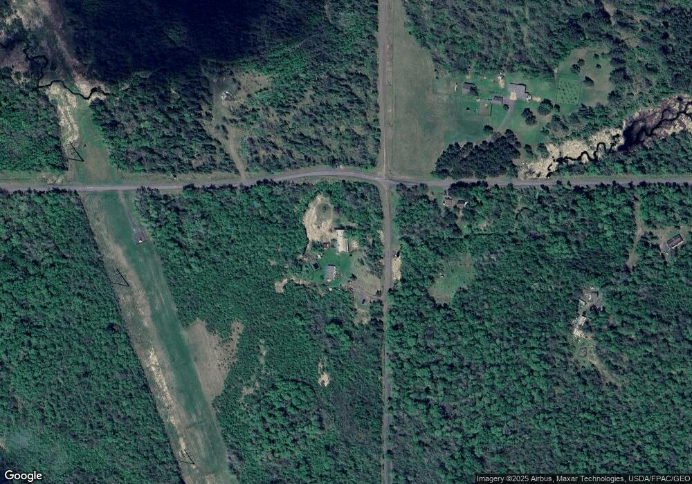
Map
Nearby Homes
- 6474 S Jacksino Rd
- TBD County Rd L Lot 1
- 6509 S Old 11
- 40 acre Lot 1 County Rd L
- 40 acre Lot # 2 County Rd L
- TBD County Rd L Lot 2
- TBD County Road L
- 5629 E Clara Barton Rd
- 5600 Otto Rd
- 6XXX Mikrot Rd
- 5600 Otto Rd
- 59XX Tri Lakes Rd
- 8562 Kent Rd
- 8515 S Lyman Lake Rd
- 8743 S Lyman Lake Rd
- 84xx Maki Rd
- 4980 E Tri Lakes Rd
- 80 acres County Road L
- XXX E Half Mile Rd
- XXXX Lackson Rd
- 7022 E Clara Barton Rd
- 7031 E Clara Barton Rd
- 7074 E Clara Barton Rd
- 6921 S Pearson Rd
- 7076 E Clara Barton Rd
- 6697 S Pearson Rd
- 6856 S Jacksino Rd
- 7165 E Clara Barton Rd
- 6809 S Jacksino Rd
- 6909 S Range Line Rd
- 6696 S Jacksino Rd
- Lot 2 Range Line Rd
- Lot 3 Range Line Rd
- 0 Range Line Rd
- 7043 S Lundgren Rd
- 6946 S Jacksino Rd
- 6891 S Jacksino Rd
- 6701 S Jacksino Rd
- 6888 S Range Line Rd
- 6673 S Range Line Rd