682 Howards Landing Rd Hampstead, NC 28443
Estimated Value: $431,000 - $696,000
1
Bed
3
Baths
2,068
Sq Ft
$291/Sq Ft
Est. Value
About This Home
This home is located at 682 Howards Landing Rd, Hampstead, NC 28443 and is currently estimated at $601,177, approximately $290 per square foot. 682 Howards Landing Rd is a home located in Pender County with nearby schools including Topsail Elementary School, Topsail Middle School, and Topsail High School.
Ownership History
Date
Name
Owned For
Owner Type
Purchase Details
Closed on
Sep 18, 2019
Sold by
Baker Walter L and Baker Barbara F
Bought by
Baker Walter L and Baker Barbara F
Current Estimated Value
Purchase Details
Closed on
Jul 30, 2010
Sold by
Baker Walter L and Baker Barbara F
Bought by
Baker Walter L and Baker Barbara F
Create a Home Valuation Report for This Property
The Home Valuation Report is an in-depth analysis detailing your home's value as well as a comparison with similar homes in the area
Home Values in the Area
Average Home Value in this Area
Purchase History
| Date | Buyer | Sale Price | Title Company |
|---|---|---|---|
| Baker Walter L | -- | None Available | |
| Baker Walter L | -- | -- |
Source: Public Records
Tax History
| Year | Tax Paid | Tax Assessment Tax Assessment Total Assessment is a certain percentage of the fair market value that is determined by local assessors to be the total taxable value of land and additions on the property. | Land | Improvement |
|---|---|---|---|---|
| 2025 | $2,348 | $404,183 | $92,505 | $311,678 |
| 2024 | $2,348 | $232,228 | $43,840 | $188,388 |
| 2023 | $2,348 | $232,228 | $43,840 | $188,388 |
| 2022 | $2,153 | $232,228 | $43,840 | $188,388 |
| 2021 | $2,153 | $232,228 | $43,840 | $188,388 |
| 2020 | $2,153 | $232,228 | $43,840 | $188,388 |
| 2019 | $2,153 | $232,228 | $43,840 | $188,388 |
| 2018 | $3,363 | $355,857 | $218,355 | $137,502 |
| 2017 | $3,363 | $355,857 | $218,355 | $137,502 |
| 2016 | $3,330 | $355,857 | $218,355 | $137,502 |
| 2015 | $3,299 | $355,857 | $218,355 | $137,502 |
| 2014 | $2,593 | $355,857 | $218,355 | $137,502 |
| 2013 | -- | $355,857 | $218,355 | $137,502 |
| 2012 | -- | $355,857 | $218,355 | $137,502 |
Source: Public Records
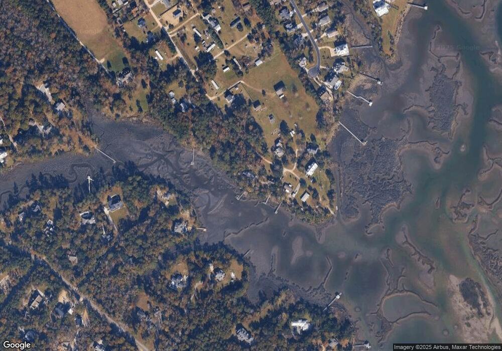
Map
Nearby Homes
- 109c Corcus Ferry Rd
- 130 Iris Way
- 167 Hydrangea Ln
- 187 Tilloo Cut Way
- 133 Tilloo Cut Way
- 552 Lea Dr
- 1035 Grandview Dr
- 105 White Heron Cove Rd
- 65 Tilloo Cut Way
- 103 Broadview Ln
- Gramercy Plan at Salters Haven
- Bryant Plan at Salters Haven
- Caroline Plan at Salters Haven
- Ellis Plan at Salters Haven
- Ingram Plan at Salters Haven
- Astoria Plan at Salters Haven
- Saylor Plan at Salters Haven
- Hudson Plan at Salters Haven
- Montgomery Plan at Salters Haven
- Elizabeth Plan at Salters Haven
- 784 Howards Landing Rd
- 773 Howards Landing Rd
- 15 Howards Landing Rd
- 250-Lot Oak Rd
- 250 Oak Rd
- 250 - Lot Oak Rd
- 20 Oak Rd
- 32 Oak Rd
- 32 Oak Rd
- 32 Oak Rd
- 667 Howards Landing Rd
- 584 Howards Landing Rd
- 1381 Corcus Ferry Rd
- 1379 Corcus Ferry Rd
- 1523 Corcus Ferry Rd
- 403 Aster Place
- 378 Aster Place
- 397 Aster Place
- 1519 Corcus Ferry Rd
- 1.75ac Corcus Ferry
Your Personal Tour Guide
Ask me questions while you tour the home.