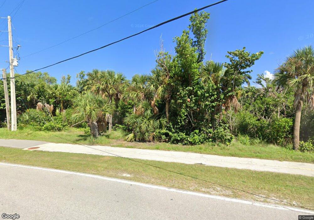
682 Kinzie Island Ct Sanibel, FL 33957
Estimated Value: $2,065,000 - $2,335,000
3
Beds
3
Baths
3,100
Sq Ft
$700/Sq Ft
Est. Value
About This Home
This home is located at 682 Kinzie Island Ct, Sanibel, FL 33957 and is currently estimated at $2,169,174, approximately $699 per square foot. 682 Kinzie Island Ct is a home located in Lee County with nearby schools including Sanibel Elementary School, Cypress Lake Middle School, and Cypress Lake High School.
Ownership History
Date
Name
Owned For
Owner Type
Purchase Details
Closed on
Jan 14, 2010
Sold by
Sears Kent T and Sears Julie Anne
Bought by
Maurer Robert W and Maurer Patricia A
Current Estimated Value
Home Financials for this Owner
Home Financials are based on the most recent Mortgage that was taken out on this home.
Original Mortgage
$971,250
Outstanding Balance
$639,299
Interest Rate
5%
Mortgage Type
New Conventional
Estimated Equity
$1,529,875
Purchase Details
Closed on
Jun 7, 1996
Sold by
Sears Charlene A
Bought by
Sears Kent T
Purchase Details
Closed on
Feb 29, 1996
Sold by
Paulsen Gerald A and Paulsen Shirley A
Bought by
Sears Kent T
Home Financials for this Owner
Home Financials are based on the most recent Mortgage that was taken out on this home.
Original Mortgage
$176,000
Interest Rate
6.97%
Create a Home Valuation Report for This Property
The Home Valuation Report is an in-depth analysis detailing your home's value as well as a comparison with similar homes in the area
Home Values in the Area
Average Home Value in this Area
Purchase History
| Date | Buyer | Sale Price | Title Company |
|---|---|---|---|
| Maurer Robert W | $1,387,500 | Realty Title Services Of San | |
| Sears Kent T | -- | -- | |
| Sears Kent T | $220,000 | -- |
Source: Public Records
Mortgage History
| Date | Status | Borrower | Loan Amount |
|---|---|---|---|
| Open | Maurer Robert W | $971,250 | |
| Previous Owner | Sears Kent T | $176,000 |
Source: Public Records
Tax History Compared to Growth
Tax History
| Year | Tax Paid | Tax Assessment Tax Assessment Total Assessment is a certain percentage of the fair market value that is determined by local assessors to be the total taxable value of land and additions on the property. | Land | Improvement |
|---|---|---|---|---|
| 2025 | $30,134 | $1,929,349 | $968,595 | $872,996 |
| 2024 | $17,936 | $1,334,671 | -- | -- |
| 2023 | $17,936 | $1,213,337 | $1,213,327 | $10 |
| 2022 | $27,224 | $1,711,540 | $0 | $0 |
| 2021 | $22,579 | $1,555,945 | $617,532 | $938,413 |
| 2020 | $20,936 | $1,422,825 | $592,900 | $829,925 |
| 2019 | $21,491 | $1,451,111 | $592,900 | $858,211 |
| 2018 | $22,071 | $1,461,561 | $592,900 | $868,661 |
| 2017 | $23,832 | $1,544,762 | $592,900 | $951,862 |
| 2016 | $22,762 | $1,454,707 | $616,900 | $837,807 |
| 2015 | $22,303 | $1,462,231 | $617,042 | $845,189 |
| 2014 | -- | $1,290,195 | $612,310 | $677,885 |
| 2013 | -- | $1,231,387 | $595,331 | $636,056 |
Source: Public Records
Map
Nearby Homes
- 734 Anchor Dr
- 671 E Gulf Dr Unit 1B3
- 671 E Gulf Dr Unit 2C2
- 671 E Gulf Dr Unit 5D2
- 671 E Gulf Dr Unit 5D3
- 671 E Gulf Dr Unit 4D1
- 671 E Gulf Dr Unit 1A2
- 924 Kings Crown Dr
- 1062 S Yachtsman Dr
- 729 Sand Dollar Dr
- 527 E Gulf Dr Unit 204
- 527 E Gulf Dr Unit 203
- 732 Windlass Way
- 805 E Gulf Dr Unit H2
- 805 E Gulf Dr Unit 7A
- 805 E Gulf Dr Unit A7
- 1105 Skiff Place
- 696 Kinzie Island Ct
- 668 Kinzie Island Ct
- 642 E Gulf Dr
- 654 Kinzie Island Ct
- 699 Anchor Dr
- 920 Spoonbill Ct
- 701 Anchor Dr
- 930 Spoonbill Ct
- 950 Spoonbill Ct
- 940 Spoonbill Ct
- 707 Anchor Dr
- 640 Kinzie Island Ct
- 695 Anchor Dr
- 721 Anchor Dr
- 1033 S Yachtsman Dr
- 635 E Gulf Dr Unit A302
- 635 E Gulf Dr Unit D201
- 635 E Gulf Dr Unit D101
- 635 E Gulf Dr Unit C302
- 635 E Gulf Dr Unit B201
