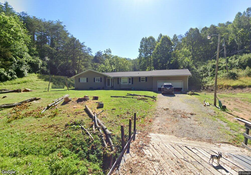
682 Prarie Ln Hurricane, WV 25526
Estimated Value: $195,000 - $277,523
3
Beds
2
Baths
1,670
Sq Ft
$139/Sq Ft
Est. Value
About This Home
This home is located at 682 Prarie Ln, Hurricane, WV 25526 and is currently estimated at $232,881, approximately $139 per square foot. 682 Prarie Ln is a home.
Ownership History
Date
Name
Owned For
Owner Type
Purchase Details
Closed on
Jun 5, 2025
Sold by
Helper Leslie David and Helper Jason Andrew
Bought by
Scarberry Randall
Current Estimated Value
Purchase Details
Closed on
May 11, 2021
Sold by
Debord Joshua A
Bought by
Cook Jennifer Leigh
Home Financials for this Owner
Home Financials are based on the most recent Mortgage that was taken out on this home.
Original Mortgage
$206,196
Interest Rate
3%
Mortgage Type
FHA
Purchase Details
Closed on
Jan 10, 2018
Sold by
Conway Sandra K
Bought by
Debord Joshua A
Home Financials for this Owner
Home Financials are based on the most recent Mortgage that was taken out on this home.
Original Mortgage
$176,767
Interest Rate
3.94%
Mortgage Type
New Conventional
Create a Home Valuation Report for This Property
The Home Valuation Report is an in-depth analysis detailing your home's value as well as a comparison with similar homes in the area
Home Values in the Area
Average Home Value in this Area
Purchase History
| Date | Buyer | Sale Price | Title Company |
|---|---|---|---|
| Scarberry Randall | $168,000 | None Listed On Document | |
| Scarberry Randall | $168,000 | None Listed On Document | |
| Cook Jennifer Leigh | $210,000 | None Listed On Document | |
| Cook Jennifer Leigh | $210,000 | None Listed On Document | |
| Cook Jennifer Leigh | $210,000 | None Available | |
| Debord Joshua A | $175,000 | Best Title |
Source: Public Records
Mortgage History
| Date | Status | Borrower | Loan Amount |
|---|---|---|---|
| Previous Owner | Cook Jennifer Leigh | $206,196 | |
| Previous Owner | Debord Joshua A | $176,767 |
Source: Public Records
Tax History Compared to Growth
Tax History
| Year | Tax Paid | Tax Assessment Tax Assessment Total Assessment is a certain percentage of the fair market value that is determined by local assessors to be the total taxable value of land and additions on the property. | Land | Improvement |
|---|---|---|---|---|
| 2024 | $1,488 | $109,080 | $21,000 | $88,080 |
| 2023 | $1,229 | $106,200 | $21,000 | $85,200 |
| 2022 | $1,248 | $103,560 | $20,940 | $82,620 |
| 2021 | $1,054 | $87,000 | $20,580 | $66,420 |
| 2020 | $1,149 | $94,980 | $21,420 | $73,560 |
| 2019 | $1,113 | $90,660 | $21,420 | $69,240 |
| 2018 | $703 | $77,100 | $16,500 | $60,600 |
| 2017 | $605 | $68,760 | $16,500 | $52,260 |
| 2016 | $572 | $65,880 | $16,500 | $49,380 |
| 2015 | $547 | $63,480 | $16,500 | $46,980 |
| 2014 | $574 | $65,640 | $21,780 | $43,860 |
Source: Public Records
Map
Nearby Homes
- 5108 US Route 60
- 413 Lyman Ln
- 13 Lynn Ln
- 1018
- 1070 Teays Ln
- 25 Lynn Ln
- 1014 Wethersfield Crossing
- 4016 Chelsea Crossing
- 0 Gables Dr
- 16 Chemar Dr
- 403 Hodges Rd
- 20 Carriage Way
- 140 Leslie Place
- 3 Charlo Acres - Sable Point Dr
- 201 Weatheridge Dr
- 0 Station Place Way
- 116 Knights Ct
- 3 S Brook Dr
- 37 Cedar Dr
- 3570 Teays Valley Rd
- 519 Prarie Ln
- 490 Prarie Ln
- 368 Prarie Ln
- 8 Brendonwood Acres
- 258 Prarie Ln
- 925 Brendenwood Ln
- 199 Prarie Ln
- 449 Brendenwood Ln
- 32 Brendenwood Ln
- 495 Brendenwood Ln
- 168 Prarie Ln
- 169 White Hollow
- 398 Brendenwood Ln
- 169 White Hollow Rd
- 152 Walker Ln
- 135 Prarie Ln
- 496 Brendenwood Ln
- 196 Walker Ln
- 137 Brendenwood Ln
- 5 Brendonwood Acres