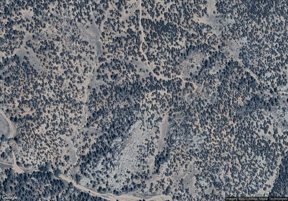
682 Troublesome Trail Cotopaxi, CO 81223
Estimated Value: $207,284 - $354,000
2
Beds
--
Bath
960
Sq Ft
$270/Sq Ft
Est. Value
About This Home
This home is located at 682 Troublesome Trail, Cotopaxi, CO 81223 and is currently estimated at $259,095, approximately $269 per square foot. 682 Troublesome Trail is a home with nearby schools including Cotopaxi Elementary School and Cotopaxi Junior/Senior High School.
Ownership History
Date
Name
Owned For
Owner Type
Purchase Details
Closed on
Jan 14, 2006
Sold by
Donahoe Mary Anne
Bought by
Boykin Robert A and Boykin Tami L
Current Estimated Value
Home Financials for this Owner
Home Financials are based on the most recent Mortgage that was taken out on this home.
Original Mortgage
$14,000
Interest Rate
6.15%
Mortgage Type
Purchase Money Mortgage
Purchase Details
Closed on
Jul 11, 2001
Sold by
Vincamp
Bought by
Vincamp Vincamp and Vincamp Donahoe
Purchase Details
Closed on
Jun 19, 2001
Sold by
Vincamp
Bought by
Vincamp
Purchase Details
Closed on
Jun 15, 1979
Sold by
Lds Inc
Bought by
Vincamp
Create a Home Valuation Report for This Property
The Home Valuation Report is an in-depth analysis detailing your home's value as well as a comparison with similar homes in the area
Purchase History
| Date | Buyer | Sale Price | Title Company |
|---|---|---|---|
| Boykin Robert A | -- | None Available | |
| Vincamp Vincamp | -- | -- | |
| Vincamp | -- | -- | |
| Vincamp | $7,200 | -- |
Source: Public Records
Mortgage History
| Date | Status | Borrower | Loan Amount |
|---|---|---|---|
| Closed | Boykin Robert A | $14,000 |
Source: Public Records
Tax History
| Year | Tax Paid | Tax Assessment Tax Assessment Total Assessment is a certain percentage of the fair market value that is determined by local assessors to be the total taxable value of land and additions on the property. | Land | Improvement |
|---|---|---|---|---|
| 2024 | $506 | $9,828 | $0 | $0 |
| 2023 | $301 | $6,142 | $0 | $0 |
| 2022 | $293 | $6,236 | $0 | $0 |
| 2021 | $295 | $6,416 | $0 | $0 |
| 2020 | $269 | $5,955 | $0 | $0 |
| 2019 | $268 | $5,955 | $0 | $0 |
| 2018 | $255 | $5,653 | $0 | $0 |
| 2017 | $255 | $5,653 | $0 | $0 |
| 2016 | $250 | $5,550 | $0 | $0 |
| 2015 | $250 | $5,550 | $0 | $0 |
| 2012 | $242 | $5,826 | $2,507 | $3,319 |
Source: Public Records
Map
Nearby Homes
- Lot 10 Prairie Dog Rd
- 38 Mac Donnell Dr
- 0 Mcdonnell Dr
- TR-56 Mcdonnell Dr
- 524 W McClure Gulch Rd
- 0 F Path and 37th Trail
- 37th Trail F Path
- 839 Shannon Trail
- 7080 Copper Gulch Rd
- 1880 Copper Gulch Rd
- 0 Copper Gulch Rd
- 701 Shannon Trail
- 627 Harmon Dr
- 7191 Copper Gulch Rd
- 92 & 184 Carpenter Trail
- 92 Carpenter Trail
- 171 Sunset Trail
- TBD L 43rd Trail
- 430 Shannon Trail
- 7878 Copper Gulch Rd
- TBD Possum Rd
- 501 Porcupine Rd
- 2675 County Road 1 Unit FRE
- 2000 Troublesome Trail
- 0 Troublesome Trail
- 000 Troublesome Trail
- 0 Cr 1 Unit 26088
- 0 Cr 1 Unit 56347
- 1982 Cr 1
- 4 Iron Mountain Rd
- TBD Iron Mountain Rd
- 000 Prairie Dog Rd
- Lot 19 Iron Mountain Wilderness Rd Unit 19
- Lot 19 Iron Mountain Wilderness Rd
- 108 Pasko Place
- 108 Pasko Place Unit 720
- 845 Prairie Dog Rd Unit FRE
- LOT 15B Iron Mountain Rd
- 659 Prairie Dog Rd
- 659 Prairie Dog Rd
