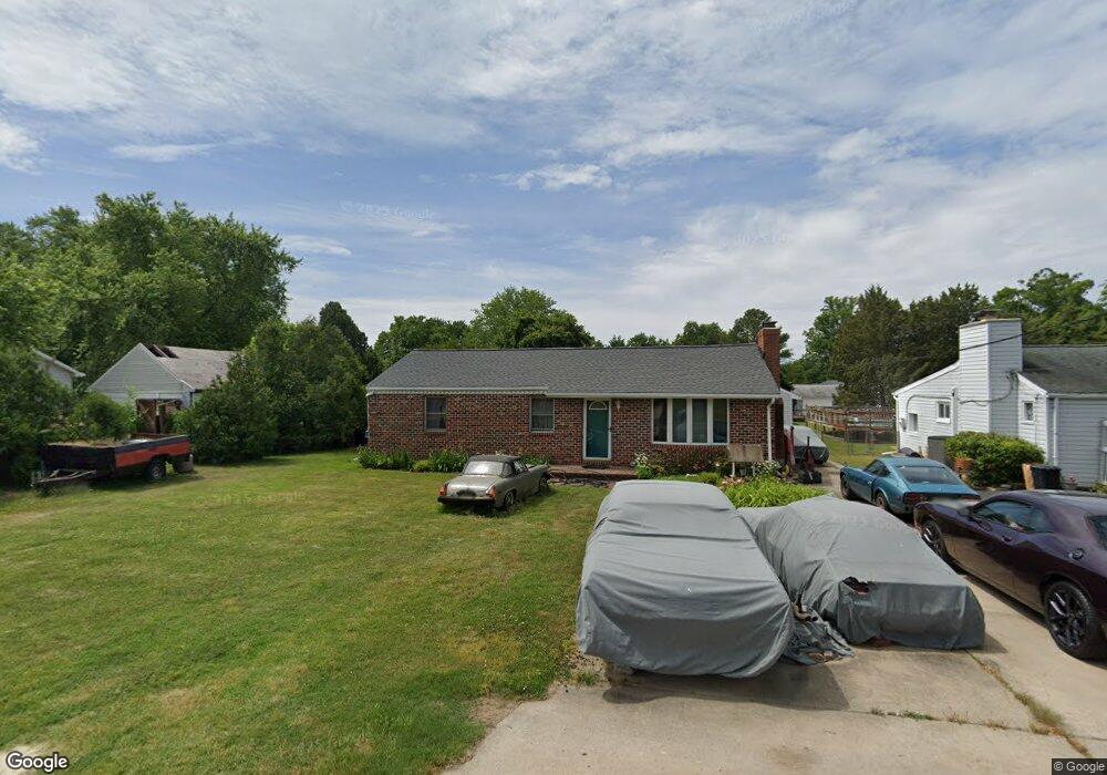
6821 Cornell Rd Middle River, MD 21220
Estimated Value: $278,798 - $354,000
Studio
2
Baths
1,368
Sq Ft
$233/Sq Ft
Est. Value
About This Home
This home is located at 6821 Cornell Rd, Middle River, MD 21220 and is currently estimated at $318,450, approximately $232 per square foot. 6821 Cornell Rd is a home located in Baltimore County with nearby schools including Chase Elementary School, Middle River Middle School, and Kenwood High.
Ownership History
Date
Name
Owned For
Owner Type
Purchase Details
Closed on
Nov 15, 2005
Sold by
Kavanaugh Richard
Bought by
Kavanaugh Richard and Kavanaugh Roxanna
Current Estimated Value
Home Financials for this Owner
Home Financials are based on the most recent Mortgage that was taken out on this home.
Original Mortgage
$130,000
Outstanding Balance
$70,750
Interest Rate
5.93%
Mortgage Type
New Conventional
Estimated Equity
$247,700
Purchase Details
Closed on
Nov 23, 1988
Sold by
Adams Robert G
Bought by
Kavanaugh Richard
Create a Home Valuation Report for This Property
The Home Valuation Report is an in-depth analysis detailing your home's value as well as a comparison with similar homes in the area
Purchase History
| Date | Buyer | Sale Price | Title Company |
|---|---|---|---|
| Kavanaugh Richard | -- | -- | |
| Kavanaugh Richard | $79,000 | -- |
Source: Public Records
Mortgage History
| Date | Status | Borrower | Loan Amount |
|---|---|---|---|
| Open | Kavanaugh Richard | $130,000 |
Source: Public Records
Tax History
| Year | Tax Paid | Tax Assessment Tax Assessment Total Assessment is a certain percentage of the fair market value that is determined by local assessors to be the total taxable value of land and additions on the property. | Land | Improvement |
|---|---|---|---|---|
| 2025 | $2,796 | $216,367 | -- | -- |
| 2024 | $2,796 | $203,833 | $0 | $0 |
| 2023 | $1,372 | $191,300 | $86,500 | $104,800 |
| 2022 | $2,663 | $179,900 | $0 | $0 |
| 2021 | $2,690 | $168,500 | $0 | $0 |
| 2020 | $2,690 | $157,100 | $86,500 | $70,600 |
| 2019 | $2,712 | $154,133 | $0 | $0 |
| 2018 | $0 | $151,167 | $0 | $0 |
| 2017 | $2,435 | $148,200 | $0 | $0 |
| 2016 | $2,773 | $148,200 | $0 | $0 |
| 2015 | $2,773 | $148,200 | $0 | $0 |
| 2014 | $2,773 | $153,500 | $0 | $0 |
Source: Public Records
Map
Nearby Homes
- 6714 Cornell Rd
- 6812 Schaadts Rd
- 13202 Cherwin Ave
- 7114 Oliver Beach Rd
- 7051 Greenbank Rd
- 7230 Gunpowder Rd
- 7316 Greenbank Rd
- 6609 Blackhead Rd
- 7361 Chesapeake Rd
- 7343 Greenbank Rd
- 116 Trails Way
- 6710 Camden St
- 6708 Camden St
- 6711 Greenleigh Ave
- 6707 Greenleigh Ave
- 6642 Camden St
- 6604 Queensbury St
- 603 Harrington St
- 6623 Greenleigh Ave
- 6621 Greenleigh Ave
- 6819 Cornell Rd
- 6825 Cornell Rd
- 6820 University Dr
- 6822 Cornell Rd
- 6816 University Dr
- 6816 Cornell Rd
- 6822 University Dr
- 6824 Cornell Rd
- 6813 Cornell Rd
- 6812 University Dr
- 6814 Cornell Rd
- 6828 Cornell Rd
- 6811 Cornell Rd
- 12920 Princeton Rd
- 6810 University Dr
- 6810 Cornell Rd
- 6819 Harewood Park Dr
- 6817 University Dr
- 6819 University Dr
- 6815 Harewood Park Dr
Your Personal Tour Guide
Ask me questions while you tour the home.