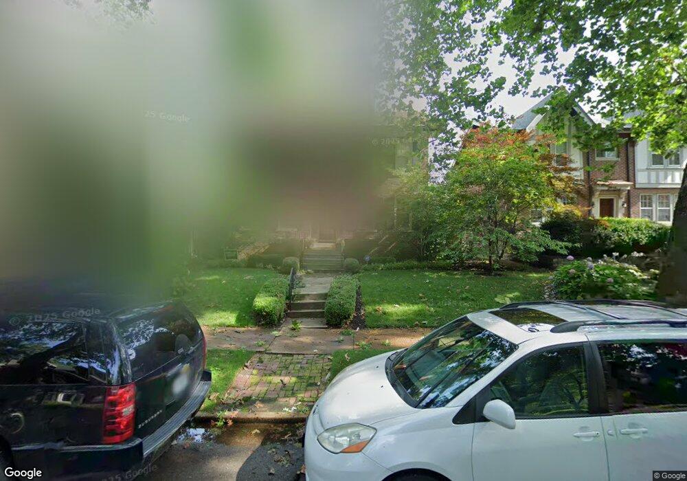
6821 Pershing Ave Saint Louis, MO 63130
Estimated Value: $678,000 - $792,000
4
Beds
3
Baths
2,998
Sq Ft
$242/Sq Ft
Est. Value
About This Home
This home is located at 6821 Pershing Ave, Saint Louis, MO 63130 and is currently estimated at $725,887, approximately $242 per square foot. 6821 Pershing Ave is a home located in St. Louis County with nearby schools including Flynn Park Elementary, Brittany Woods Middle School, and University City High School.
Ownership History
Date
Name
Owned For
Owner Type
Purchase Details
Closed on
Jun 28, 2007
Sold by
Gibb Randall K and Gibb Lee L
Bought by
Scharff James R and Scharff Tiffany P
Current Estimated Value
Purchase Details
Closed on
Mar 31, 2000
Sold by
Toohey Michael W and Ann Mary
Bought by
Gibb Randall K and Gibb Lee L
Home Financials for this Owner
Home Financials are based on the most recent Mortgage that was taken out on this home.
Original Mortgage
$270,400
Interest Rate
7.75%
Create a Home Valuation Report for This Property
The Home Valuation Report is an in-depth analysis detailing your home's value as well as a comparison with similar homes in the area
Home Values in the Area
Average Home Value in this Area
Purchase History
| Date | Buyer | Sale Price | Title Company |
|---|---|---|---|
| Scharff James R | $575,000 | None Available | |
| Gibb Randall K | $338,000 | -- |
Source: Public Records
Mortgage History
| Date | Status | Borrower | Loan Amount |
|---|---|---|---|
| Previous Owner | Gibb Randall K | $270,400 | |
| Closed | Scharff James R | -- |
Source: Public Records
Tax History
| Year | Tax Paid | Tax Assessment Tax Assessment Total Assessment is a certain percentage of the fair market value that is determined by local assessors to be the total taxable value of land and additions on the property. | Land | Improvement |
|---|---|---|---|---|
| 2025 | $7,920 | $118,850 | $59,000 | $59,850 |
| 2024 | $7,920 | $112,690 | $44,250 | $68,440 |
| 2023 | $7,911 | $112,690 | $44,250 | $68,440 |
| 2022 | $7,340 | $97,450 | $39,330 | $58,120 |
| 2021 | $7,263 | $97,450 | $39,330 | $58,120 |
| 2020 | $7,128 | $93,240 | $37,110 | $56,130 |
| 2019 | $7,130 | $93,240 | $37,110 | $56,130 |
| 2018 | $7,161 | $86,610 | $37,110 | $49,500 |
| 2017 | $7,175 | $86,610 | $37,110 | $49,500 |
| 2016 | $6,191 | $71,460 | $26,830 | $44,630 |
Source: Public Records
Map
Nearby Homes
- 6810 Pershing Ave
- 6603 Pershing Ave
- 7061 Maryland Ave
- 7133 Washington Ave
- 7144 Waterman Ave
- 738 Kingsland Ave
- 710 Leland Ave
- 7120 Lindell Blvd
- 7162 Pershing Ave
- 760 Syracuse Ave
- 6916 Amherst Ave
- 7224 Pershing Ave
- 6918 Dartmouth Ave
- 7249 Forsyth Blvd
- 6416 Cates Ave
- 6404 Cates Ave Unit 4W
- 6304 Cates Ave
- 6959 Dartmouth Ave
- 7106 Stanford Ave
- 49 Aberdeen Place
- 6825 Pershing Ave
- 6819 Pershing Ave
- 6827 Pershing Ave
- 6811 Pershing Ave
- 6833 Pershing Ave
- 6807 Pershing Ave
- 6818 Waterman Ave
- 6814 Waterman Ave
- 6822 Waterman Ave
- 6810 Waterman Ave
- 6837 Pershing Ave
- 6801 Pershing Ave
- 6814 Pershing Ave
- 6806 Waterman Ave
- 6818 Pershing Ave
- 6806 Pershing Ave
- 6828 Pershing Ave
- 6834 Waterman Ave
- 6843 Pershing Ave
- 6802 Waterman Ave
Your Personal Tour Guide
Ask me questions while you tour the home.