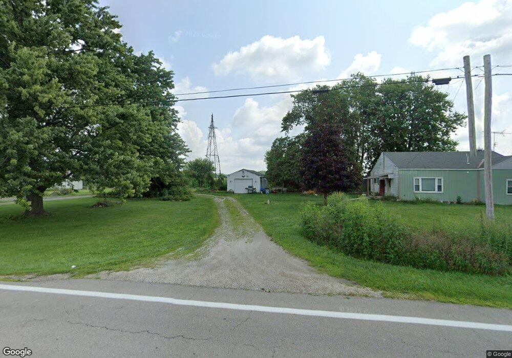
6822 State Route 203 Radnor, OH 43066
Estimated Value: $229,419 - $258,000
3
Beds
1
Bath
1,138
Sq Ft
$212/Sq Ft
Est. Value
About This Home
This home is located at 6822 State Route 203, Radnor, OH 43066 and is currently estimated at $240,855, approximately $211 per square foot. 6822 State Route 203 is a home located in Delaware County with nearby schools including Buckeye Valley High School.
Ownership History
Date
Name
Owned For
Owner Type
Purchase Details
Closed on
Sep 27, 2006
Sold by
Fannie Mae
Bought by
Sines Michael I and Sines Teresa L
Current Estimated Value
Purchase Details
Closed on
Mar 16, 2006
Sold by
Cronin Kevin P and Case #03-Cve-07-484
Bought by
Federal National Mortgage Association
Create a Home Valuation Report for This Property
The Home Valuation Report is an in-depth analysis detailing your home's value as well as a comparison with similar homes in the area
Home Values in the Area
Average Home Value in this Area
Purchase History
| Date | Buyer | Sale Price | Title Company |
|---|---|---|---|
| Sines Michael I | $68,000 | Title First | |
| Federal National Mortgage Association | $74,000 | None Available |
Source: Public Records
Tax History Compared to Growth
Tax History
| Year | Tax Paid | Tax Assessment Tax Assessment Total Assessment is a certain percentage of the fair market value that is determined by local assessors to be the total taxable value of land and additions on the property. | Land | Improvement |
|---|---|---|---|---|
| 2024 | $1,822 | $49,460 | $10,290 | $39,170 |
| 2023 | $1,822 | $49,460 | $10,290 | $39,170 |
| 2022 | $1,756 | $42,280 | $10,290 | $31,990 |
| 2021 | $1,758 | $42,280 | $10,290 | $31,990 |
| 2020 | $1,765 | $42,280 | $10,290 | $31,990 |
| 2019 | $1,509 | $35,630 | $8,960 | $26,670 |
| 2018 | $1,531 | $35,630 | $8,960 | $26,670 |
| 2017 | $1,373 | $33,610 | $7,460 | $26,150 |
| 2016 | $1,290 | $33,610 | $7,460 | $26,150 |
| 2015 | $1,361 | $33,610 | $7,460 | $26,150 |
| 2014 | $1,279 | $33,610 | $7,460 | $26,150 |
| 2013 | $1,287 | $32,140 | $7,460 | $24,680 |
Source: Public Records
Map
Nearby Homes
- 206 S East St
- 303 Park Ave
- 4518 State Route 257
- 0 Norton Rd Unit 225044832
- 0 Norton Rd Unit 225044831
- 0 Norton Rd
- 0 Norton Rd Unit 225044837
- 0 Norton Rd Unit 225044834
- 0 Norton Rd Unit 225044830
- 0 Norton Rd Unit 225044835
- 4093 State Route 257
- 6343 State Route 4
- 2217 Radnor Rd
- 3414 State Route 203
- 6412 Troy Rd
- 2390 Penry Rd
- 3935 N Section Line Rd
- 4808 Hughes Rd
- 1859 State Route 257 N
- 3232 Gallant Rd
- 7182 State Route 203
- 5907 Hoskins Rd
- 6431 State Route 203
- 7232 State Route 203
- 6006 Hoskins Rd
- 7232 State Route 203
- 6042 Curren Rd
- 5934 Curren Rd
- 7352 State Route 203
- 6238 Hoskins Rd
- 6165 Curren Rd
- 6230 State Route 203
- 7067 Curtis Rd
- 6230 Ohio 203
- 6105 Curren Rd
- 6340 Curren Rd
- 5203 Norton Rd
- 7243 Curtis Rd
- 0 Curtis Rd
- 0 Curren Rd Unit 2700119