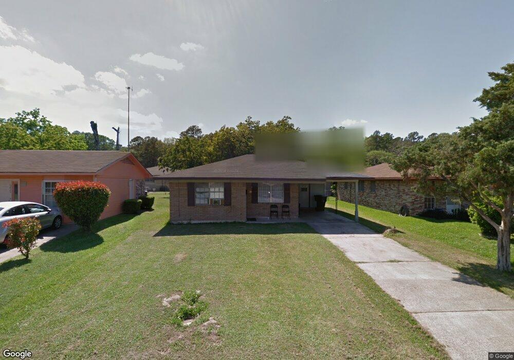
6824 Oak Branch Cir Shreveport, LA 71109
Mooretown and Hollywood Heights NeighborhoodEstimated Value: $47,000 - $62,000
2
Beds
1
Bath
1,093
Sq Ft
$52/Sq Ft
Est. Value
About This Home
This home is located at 6824 Oak Branch Cir, Shreveport, LA 71109 and is currently estimated at $56,581, approximately $51 per square foot. 6824 Oak Branch Cir is a home with nearby schools including Judson Fundamental Elementary School, Fairfield Magnet School, and South Highlands Elementary.
Ownership History
Date
Name
Owned For
Owner Type
Purchase Details
Closed on
Feb 5, 2021
Sold by
Ruben James Tucker and Ruben Jayne Whte
Bought by
Ruben Development Co Llc
Current Estimated Value
Home Financials for this Owner
Home Financials are based on the most recent Mortgage that was taken out on this home.
Original Mortgage
$85,000
Outstanding Balance
$75,957
Interest Rate
2.65%
Mortgage Type
New Conventional
Estimated Equity
-$19,376
Create a Home Valuation Report for This Property
The Home Valuation Report is an in-depth analysis detailing your home's value as well as a comparison with similar homes in the area
Home Values in the Area
Average Home Value in this Area
Purchase History
| Date | Buyer | Sale Price | Title Company |
|---|---|---|---|
| Ruben Development Co Llc | $26,195 | None Available |
Source: Public Records
Mortgage History
| Date | Status | Borrower | Loan Amount |
|---|---|---|---|
| Open | Ruben Development Co Llc | $85,000 |
Source: Public Records
Tax History Compared to Growth
Tax History
| Year | Tax Paid | Tax Assessment Tax Assessment Total Assessment is a certain percentage of the fair market value that is determined by local assessors to be the total taxable value of land and additions on the property. | Land | Improvement |
|---|---|---|---|---|
| 2024 | $413 | $2,648 | $585 | $2,063 |
| 2023 | $418 | $2,620 | $557 | $2,063 |
| 2022 | $418 | $2,620 | $557 | $2,063 |
| 2021 | $411 | $2,620 | $557 | $2,063 |
| 2020 | $411 | $2,620 | $557 | $2,063 |
| 2019 | $441 | $2,724 | $557 | $2,167 |
| 2018 | $351 | $2,724 | $557 | $2,167 |
| 2017 | $448 | $2,724 | $557 | $2,167 |
| 2015 | $360 | $2,780 | $560 | $2,220 |
| 2014 | $363 | $2,780 | $560 | $2,220 |
| 2013 | -- | $2,780 | $560 | $2,220 |
Source: Public Records
Map
Nearby Homes
- 4135 Forest Oak Dr
- 4210 Via St
- 4102 Via St
- 4122 Carver St
- 4138 Powell St
- 3918 Adrian St
- 4136 Mayfield St
- 4130 Mayfield St
- 0 Miles St
- 5717 Fallowmont St
- 3924 Miles St
- 3922 Miles St
- 0 Standard Oil Rd
- 7013 Janey St
- 3610 Sanders St
- 4302 Illinois Ave
- 3602 Valley View Dr
- 3506 Red Bud Ln
- 6208 Jewella Ave
- 4310 Saint Louis Ave
- 6820 Oak Branch Cir
- 6828 Oak Branch Cir
- 6832 Oak Branch Cir
- 6832 Oak Branch Cir
- 6721 Kennedy Dr
- 6717 Kennedy Dr
- 6717 Kennedy Dr
- 6725 Kennedy Dr
- 6713 Kennedy Dr
- 6729 Kennedy Dr
- 6821 Oak Branch Cir
- 6836 Oak Branch Cir
- 6825 Oak Branch Cir
- 6709 Kennedy Dr
- 6709 Kennedy Dr
- 6810 Oak Branch Cir
- 6829 Oak Branch Cir
- 6829 Oak Branch Cir
- 6733 Kennedy Dr
- 6813 Oak Branch Cir