6827 Flint Hill Rd New Tripoli, PA 18066
Heidelberg Township NeighborhoodEstimated Value: $773,000 - $1,237,000
4
Beds
1
Bath
2,016
Sq Ft
$501/Sq Ft
Est. Value
About This Home
This home is located at 6827 Flint Hill Rd, New Tripoli, PA 18066 and is currently estimated at $1,010,027, approximately $501 per square foot. 6827 Flint Hill Rd is a home located in Lehigh County with nearby schools including Northwestern Lehigh High School.
Ownership History
Date
Name
Owned For
Owner Type
Purchase Details
Closed on
Oct 11, 2011
Sold by
Wessner Forrest A
Bought by
Wessner George W
Current Estimated Value
Home Financials for this Owner
Home Financials are based on the most recent Mortgage that was taken out on this home.
Original Mortgage
$620,000
Outstanding Balance
$423,882
Interest Rate
4.15%
Mortgage Type
New Conventional
Estimated Equity
$586,145
Purchase Details
Closed on
Nov 8, 1979
Bought by
Wessner Forrest A and Wessner Grace O
Create a Home Valuation Report for This Property
The Home Valuation Report is an in-depth analysis detailing your home's value as well as a comparison with similar homes in the area
Home Values in the Area
Average Home Value in this Area
Purchase History
| Date | Buyer | Sale Price | Title Company |
|---|---|---|---|
| Wessner George W | $600,000 | -- | |
| Wessner Forrest A | -- | -- |
Source: Public Records
Mortgage History
| Date | Status | Borrower | Loan Amount |
|---|---|---|---|
| Open | Wessner George W | $620,000 |
Source: Public Records
Tax History Compared to Growth
Tax History
| Year | Tax Paid | Tax Assessment Tax Assessment Total Assessment is a certain percentage of the fair market value that is determined by local assessors to be the total taxable value of land and additions on the property. | Land | Improvement |
|---|---|---|---|---|
| 2025 | $5,226 | $867,300 | $720,400 | $146,900 |
| 2024 | $5,001 | $867,300 | $720,400 | $146,900 |
| 2023 | $4,849 | $867,300 | $720,400 | $146,900 |
| 2022 | $4,656 | $867,300 | $146,900 | $720,400 |
| 2021 | $4,531 | $867,300 | $720,400 | $146,900 |
| 2020 | $4,409 | $867,300 | $720,400 | $146,900 |
| 2019 | $26,163 | $867,300 | $720,400 | $146,900 |
| 2018 | $4,249 | $867,300 | $720,400 | $146,900 |
| 2017 | $4,249 | $867,300 | $720,400 | $146,900 |
| 2016 | -- | $867,300 | $720,400 | $146,900 |
| 2015 | -- | $867,300 | $720,400 | $146,900 |
| 2014 | -- | $867,300 | $720,400 | $146,900 |
Source: Public Records
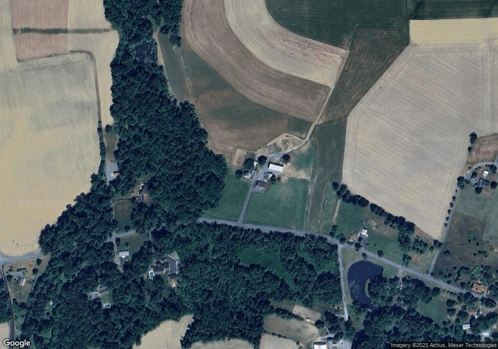
Map
Nearby Homes
- 6786 Flint Hill Rd
- 7111 Flint Hill Rd
- 7007 Bausch Rd
- 6909 Country Spring Rd
- 7462 Camp Meeting Rd
- 6689 Jefferson Ct
- 6341 Memorial Rd
- 5742 Memorial Rd
- 5780 Pfeiffer Cir
- 5710 Pfeiffer Cir
- 7282 Decatur St
- 6103 Route 309
- 0 Allemaengel Rd
- 6274 Glen Ct
- 6292 Glen Ct
- 7509 Borman Rd
- 6034 Hausman Rd
- 8165 Weavers Ct
- 6848 Mill Creek Rd
- 6215 Rachel Dr
- 6791 Flint Hill Rd
- 6845 Flint Hill Rd
- 6836 Flint Hill Rd
- 6854 Flint Hill Rd
- 5976 Dogwood Dr
- 6781 Flint Hill Rd
- 6876 Flint Hill Rd
- 6761 Flint Hill Rd
- 6770 Flint Hill Rd
- 6370 Route 309
- 6017 Long Ct
- 6093 Long Ct
- 6764 Flint Hill Rd
- 6032 Powder Horn Ct
- 6016 Powder Horn Ct
- 5825 Dogwood Dr
- 5920 Powder Horn Ct
- 5960 Powder Horn Ct
- 5940 Powder Horn Ct
- 5975 Long Ct