6827 Mitchell Rd Palmyra, MI 49268
Estimated Value: $224,000 - $353,000
5
Beds
3
Baths
2,768
Sq Ft
$103/Sq Ft
Est. Value
About This Home
This home is located at 6827 Mitchell Rd, Palmyra, MI 49268 and is currently estimated at $283,881, approximately $102 per square foot. 6827 Mitchell Rd is a home located in Lenawee County with nearby schools including Blissfield Elementary School, Blissfield Middle School, and Blissfield High School.
Ownership History
Date
Name
Owned For
Owner Type
Purchase Details
Closed on
Feb 22, 2019
Sold by
Waggoner Guy M and Waggoner Angela
Bought by
Waggoner Guy M and Waggoner Angela
Current Estimated Value
Home Financials for this Owner
Home Financials are based on the most recent Mortgage that was taken out on this home.
Original Mortgage
$227,260
Outstanding Balance
$199,395
Interest Rate
4.4%
Mortgage Type
VA
Estimated Equity
$84,486
Purchase Details
Closed on
Apr 29, 2016
Sold by
Vassar Theodore W and Vassar Eva R
Bought by
Waggoner Guy Michael
Home Financials for this Owner
Home Financials are based on the most recent Mortgage that was taken out on this home.
Original Mortgage
$165,280
Interest Rate
3.71%
Mortgage Type
VA
Purchase Details
Closed on
Dec 1, 1980
Bought by
Vassar Theodore W and Vassar Eva
Create a Home Valuation Report for This Property
The Home Valuation Report is an in-depth analysis detailing your home's value as well as a comparison with similar homes in the area
Home Values in the Area
Average Home Value in this Area
Purchase History
| Date | Buyer | Sale Price | Title Company |
|---|---|---|---|
| Waggoner Guy M | -- | -- | |
| Waggoner Guy Michael | $160,000 | Presige Title | |
| Vassar Theodore W | -- | -- |
Source: Public Records
Mortgage History
| Date | Status | Borrower | Loan Amount |
|---|---|---|---|
| Open | Waggoner Guy M | $227,260 | |
| Previous Owner | Waggoner Guy Michael | $165,280 |
Source: Public Records
Tax History
| Year | Tax Paid | Tax Assessment Tax Assessment Total Assessment is a certain percentage of the fair market value that is determined by local assessors to be the total taxable value of land and additions on the property. | Land | Improvement |
|---|---|---|---|---|
| 2025 | $4,640 | $131,800 | $0 | $0 |
| 2024 | $2,724 | $120,000 | $0 | $0 |
| 2023 | $2,301 | $107,400 | $0 | $0 |
| 2022 | $2,253 | $99,700 | $0 | $0 |
| 2021 | $2,221 | $94,000 | $0 | $0 |
| 2020 | $2,191 | $88,000 | $0 | $0 |
| 2019 | $2,263 | $86,900 | $0 | $0 |
| 2018 | $2,278 | $86,914 | $0 | $0 |
| 2017 | $2,191 | $83,208 | $0 | $0 |
| 2016 | $1,645 | $65,627 | $0 | $0 |
| 2014 | -- | $61,677 | $0 | $0 |
Source: Public Records
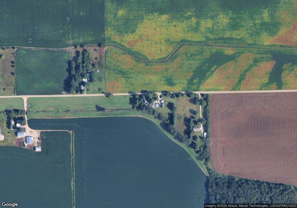
Map
Nearby Homes
- 1102 Wellsville Hwy
- 6584 Holloway Rd
- 3125 N Rogers Hwy
- 4189 Samantha Dr
- 1531 S Raisin Center Hwy
- 6600 Rouget Rd
- 2519 N Wilmoth Hwy
- 5377 Palmyra Rd
- 5517 Billmyer Hwy
- 5000 Ricker Hwy Block Lot 1 Blissfield Hwy
- 5000 Ricker Hwy Block Lot 2 Blissfield Hwy
- 3284 Sutton Rd
- 3508 N Wilmoth Hwy
- 3324 Sutton Rd
- 3811 Torin Ln Unit Parcel G
- 2577 E Valley Rd
- 2571 E Valley Rd
- 4615 Green Hwy
- 7823 E US Highway 223
- 2829 Sutton Rd
- 1101 Wellsville Hwy
- 6720 Mitchell Rd
- 1107 Wellsville Hwy
- 6583 Mitchell Rd
- 1148 Wellsville Hwy
- 6502 Mitchell Rd
- 1348 N Wellsville Hwy
- 1470 Wellsville Hwy
- 1465 Wellsville Hwy
- 1540 Wellsville Hwy
- 1355 N Wellsville Hwy
- 7510 Garno Rd
- 7510 Garno Rd Unit GARNO
- 1257 S Grosvenor Hwy
- 1844 N Wellsville Hwy
- 1929 N Wellsville Hwy
- 6162 Mitchell Rd
- 1347 S Grosvenor Hwy
- 6901 Laberdee Rd
- 7623 Garno Rd
Your Personal Tour Guide
Ask me questions while you tour the home.