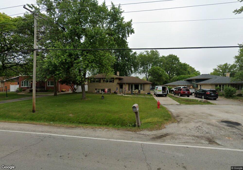
6827 W 127th St Palos Heights, IL 60463
Westgate Valley NeighborhoodEstimated Value: $355,000 - $440,000
3
Beds
2
Baths
1,392
Sq Ft
$279/Sq Ft
Est. Value
About This Home
This home is located at 6827 W 127th St, Palos Heights, IL 60463 and is currently estimated at $388,999, approximately $279 per square foot. 6827 W 127th St is a home located in Cook County with nearby schools including Navajo Heights Elementary School, Chippewa Elementary School, and Independence Jr High School.
Ownership History
Date
Name
Owned For
Owner Type
Purchase Details
Closed on
Feb 12, 2003
Sold by
Siuda Lois M
Bought by
Tietz John F and Tietz Juanita C
Current Estimated Value
Home Financials for this Owner
Home Financials are based on the most recent Mortgage that was taken out on this home.
Original Mortgage
$100,000
Interest Rate
6%
Create a Home Valuation Report for This Property
The Home Valuation Report is an in-depth analysis detailing your home's value as well as a comparison with similar homes in the area
Home Values in the Area
Average Home Value in this Area
Purchase History
| Date | Buyer | Sale Price | Title Company |
|---|---|---|---|
| Tietz John F | $220,000 | Pntn |
Source: Public Records
Mortgage History
| Date | Status | Borrower | Loan Amount |
|---|---|---|---|
| Closed | Tietz John F | $100,000 |
Source: Public Records
Tax History Compared to Growth
Tax History
| Year | Tax Paid | Tax Assessment Tax Assessment Total Assessment is a certain percentage of the fair market value that is determined by local assessors to be the total taxable value of land and additions on the property. | Land | Improvement |
|---|---|---|---|---|
| 2024 | $8,078 | $30,000 | $6,301 | $23,699 |
| 2023 | $6,449 | $30,000 | $6,301 | $23,699 |
| 2022 | $6,449 | $21,281 | $5,545 | $15,736 |
| 2021 | $6,188 | $21,280 | $5,544 | $15,736 |
| 2020 | $6,148 | $21,280 | $5,544 | $15,736 |
| 2019 | $7,422 | $25,834 | $5,040 | $20,794 |
| 2018 | $7,025 | $25,834 | $5,040 | $20,794 |
| 2017 | $7,038 | $25,834 | $5,040 | $20,794 |
| 2016 | $5,831 | $20,245 | $4,284 | $15,961 |
| 2015 | $5,669 | $20,245 | $4,284 | $15,961 |
| 2014 | $5,521 | $20,245 | $4,284 | $15,961 |
| 2013 | $5,540 | $21,790 | $4,284 | $17,506 |
Source: Public Records
Map
Nearby Homes
- 6839 W 127th St
- 12718 S 69th Ct
- 12722 S 69th Ct
- 12646 S 69th Ct
- 12753 S Oak Park Ave
- 6711 W Shiawassie Dr
- 6709 W Menominee Pkwy
- 12611 Natoma Ave
- 6519 W 126th Place
- 12422 S 70th Ct
- 12501 S 71st Ct
- 12815 S Seneca Rd
- 13007 S Oak Park Ave
- 7309 W Palos Ave
- 12900 S Seneca Rd
- 13064 S 71st Ave
- 430 Shadow Creek Dr
- 12246 S Nagle Ave
- 13097 Laurel Glen Ct Unit 202
- 12332 S Richard Ave
- 6823 W 127th St
- 6833 W 127th St
- 6819 W 127th St
- 6828 W Evergreen Ave
- 6835 W 127th St
- 6832 W Evergreen Ave
- 6824 W Evergreen Ave
- 6836 W Evergreen Ave
- 6820 W Evergreen Ave
- 12660 S 68th Ct
- 12661 S 69th Ave
- 12700 S Oak Park Ave
- 12710 S Oak Park Ave
- 12714 S Oak Park Ave
- 6843 W 127th St
- 12720 S Oak Park Ave
- 6844 W Evergreen Ave
- 12650 S 68th Ct
- 12651 S 69th Ave
- 12661 S 68th Ct