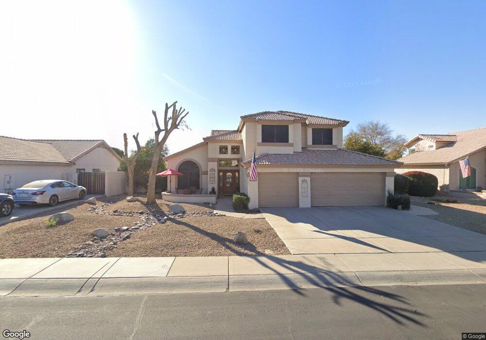
6829 W Columbine Dr Peoria, AZ 85381
Estimated Value: $548,390 - $617,000
--
Bed
4
Baths
2,433
Sq Ft
$240/Sq Ft
Est. Value
About This Home
This home is located at 6829 W Columbine Dr, Peoria, AZ 85381 and is currently estimated at $584,598, approximately $240 per square foot. 6829 W Columbine Dr is a home located in Maricopa County with nearby schools including Oakwood Elementary School, Cactus High School, and Legacy Traditional School - Glendale.
Ownership History
Date
Name
Owned For
Owner Type
Purchase Details
Closed on
Jun 18, 2014
Sold by
Brzoska Ronald J and Brzoska Barbara G
Bought by
Brzoska Family Trust
Current Estimated Value
Purchase Details
Closed on
Mar 12, 2002
Sold by
Nauman Paul and Nauman Patricia
Bought by
Brzoska Ronald J and Brzoska Barbara G
Home Financials for this Owner
Home Financials are based on the most recent Mortgage that was taken out on this home.
Original Mortgage
$65,000
Interest Rate
6.84%
Create a Home Valuation Report for This Property
The Home Valuation Report is an in-depth analysis detailing your home's value as well as a comparison with similar homes in the area
Home Values in the Area
Average Home Value in this Area
Purchase History
| Date | Buyer | Sale Price | Title Company |
|---|---|---|---|
| Brzoska Family Trust | -- | None Available | |
| Brzoska Ronald J | $180,000 | Century Title Agency Inc |
Source: Public Records
Mortgage History
| Date | Status | Borrower | Loan Amount |
|---|---|---|---|
| Closed | Brzoska Ronald J | $65,000 |
Source: Public Records
Tax History Compared to Growth
Tax History
| Year | Tax Paid | Tax Assessment Tax Assessment Total Assessment is a certain percentage of the fair market value that is determined by local assessors to be the total taxable value of land and additions on the property. | Land | Improvement |
|---|---|---|---|---|
| 2025 | $1,880 | $24,834 | -- | -- |
| 2024 | $1,904 | $23,652 | -- | -- |
| 2023 | $1,904 | $40,270 | $8,050 | $32,220 |
| 2022 | $1,865 | $33,170 | $6,630 | $26,540 |
| 2021 | $1,996 | $32,180 | $6,430 | $25,750 |
| 2020 | $2,015 | $29,020 | $5,800 | $23,220 |
| 2019 | $1,949 | $25,950 | $5,190 | $20,760 |
| 2018 | $1,885 | $25,160 | $5,030 | $20,130 |
| 2017 | $1,886 | $24,860 | $4,970 | $19,890 |
| 2016 | $1,867 | $21,910 | $4,380 | $17,530 |
| 2015 | $1,742 | $21,610 | $4,320 | $17,290 |
Source: Public Records
Map
Nearby Homes
- 6845 W Charter Oak Rd
- 6849 W Wethersfield Rd
- 6749 W Charter Oak Rd
- 6746 W Wethersfield Rd
- 6763 W Wethersfield Rd
- 6739 W Cactus Rd
- 7126 W Columbine Dr
- 6527 W Bloomfield Rd
- 6821 W Cherry Hills Dr
- 6914 W Sunnyside Dr Unit 3
- 6614 W Sweetwater Ave
- 7214 W Columbine Dr
- 12709 N 72nd Ave
- 6938 W Jenan Dr
- 7220 W Larkspur Dr
- 7233 W Corrine Dr
- 6602 W Surrey Ave
- 7113 W Sunnyside Dr
- 7157 W Cherry Hills Dr
- 7126 W Jenan Dr
- 6835 W Columbine Dr
- 6823 W Columbine Dr
- 6820 W Bloomfield Rd
- 6826 W Bloomfield Rd
- 6814 W Bloomfield Rd
- 6817 W Columbine Dr
- 6841 W Columbine Dr
- 6828 W Columbine Dr
- 6820 W Columbine Dr
- 6808 W Bloomfield Rd
- 6832 W Bloomfield Rd
- 6836 W Columbine Dr
- 6811 W Columbine Dr
- 6812 W Columbine Dr
- 6802 W Bloomfield Rd
- 6829 W Bloomfield Rd
- 6823 W Bloomfield Rd
- 6745 W Columbine Dr
- 6844 W Columbine Dr
- 6835 W Bloomfield Rd