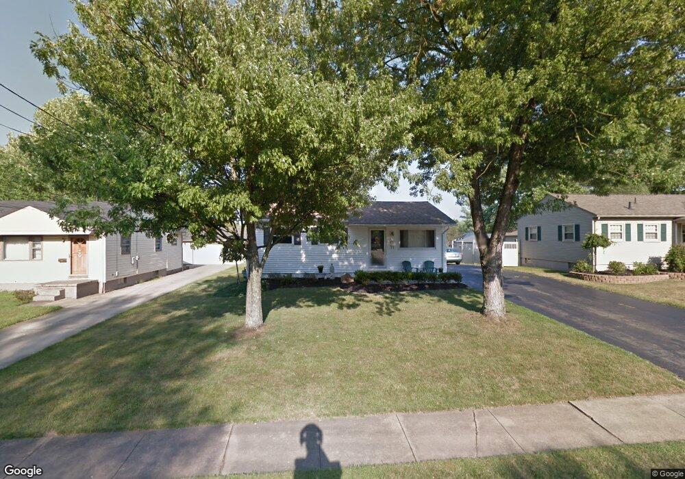
683 Burdie Dr Hubbard, OH 44425
Estimated Value: $135,000 - $157,000
3
Beds
1
Bath
936
Sq Ft
$153/Sq Ft
Est. Value
About This Home
This home is located at 683 Burdie Dr, Hubbard, OH 44425 and is currently estimated at $143,620, approximately $153 per square foot. 683 Burdie Dr is a home located in Trumbull County with nearby schools including Hubbard Elementary School, Hubbard Middle School, and Hubbard High School.
Ownership History
Date
Name
Owned For
Owner Type
Purchase Details
Closed on
Sep 17, 2009
Sold by
Merrell Steven M and Merrell Renee M
Bought by
Merrell Renee M
Current Estimated Value
Purchase Details
Closed on
Apr 29, 1998
Sold by
Salata Robert G and Salata Mary P
Bought by
Merrell Steven M and Merrell Renee M
Purchase Details
Closed on
Jan 1, 1990
Bought by
Robert Robert G and Robert S
Create a Home Valuation Report for This Property
The Home Valuation Report is an in-depth analysis detailing your home's value as well as a comparison with similar homes in the area
Home Values in the Area
Average Home Value in this Area
Purchase History
| Date | Buyer | Sale Price | Title Company |
|---|---|---|---|
| Merrell Renee M | -- | None Available | |
| Merrell Steven M | -- | -- | |
| Robert Robert G | -- | -- |
Source: Public Records
Tax History Compared to Growth
Tax History
| Year | Tax Paid | Tax Assessment Tax Assessment Total Assessment is a certain percentage of the fair market value that is determined by local assessors to be the total taxable value of land and additions on the property. | Land | Improvement |
|---|---|---|---|---|
| 2024 | $1,547 | $31,680 | $6,020 | $25,660 |
| 2023 | $1,547 | $31,680 | $6,020 | $25,660 |
| 2022 | $1,468 | $27,410 | $5,430 | $21,980 |
| 2021 | $1,475 | $27,410 | $5,430 | $21,980 |
| 2020 | $1,481 | $27,410 | $5,430 | $21,980 |
| 2019 | $1,404 | $24,890 | $5,430 | $19,460 |
| 2018 | $1,399 | $24,890 | $5,430 | $19,460 |
| 2017 | $1,395 | $24,890 | $5,430 | $19,460 |
| 2016 | $1,286 | $24,400 | $5,430 | $18,970 |
| 2015 | $1,291 | $24,400 | $5,430 | $18,970 |
| 2014 | $1,261 | $24,400 | $5,430 | $18,970 |
| 2013 | $1,259 | $24,400 | $5,430 | $18,970 |
Source: Public Records
Map
Nearby Homes
- 784 Elmwood Dr
- 611 Moore St
- 462 Elizabeth St
- 395 Elizabeth St
- 430 E Park Ave
- 764 Jones St
- 138 Moore St
- 319 E Liberty St
- 114 Oakdale Ave
- 50 Walnut St
- 3397 Pothour Wheeler Rd
- 110 School St
- 132 Drummond Ave
- 248 Myron St
- 126 Stewart St
- 254 Christian Ave
- 531 Meadowland Dr
- 663 Meadowland Dr
- 1952 Hubbard Masury Rd
- 1911 Hubbard Thomas Rd