683 Payne Rd Clear Brook, VA 22624
Estimated Value: $666,000 - $793,000
5
Beds
3
Baths
4,098
Sq Ft
$178/Sq Ft
Est. Value
About This Home
This home is located at 683 Payne Rd, Clear Brook, VA 22624 and is currently estimated at $730,053, approximately $178 per square foot. 683 Payne Rd is a home located in Frederick County with nearby schools including Stonewall Elementary School, James Wood Middle School, and James Wood High School.
Ownership History
Date
Name
Owned For
Owner Type
Purchase Details
Closed on
Apr 27, 2020
Sold by
Whitacre Leigh Anne and Whitacre Lee S
Bought by
Bluepoint Enterprises Llc
Current Estimated Value
Create a Home Valuation Report for This Property
The Home Valuation Report is an in-depth analysis detailing your home's value as well as a comparison with similar homes in the area
Home Values in the Area
Average Home Value in this Area
Purchase History
| Date | Buyer | Sale Price | Title Company |
|---|---|---|---|
| Bluepoint Enterprises Llc | -- | None Available |
Source: Public Records
Tax History Compared to Growth
Tax History
| Year | Tax Paid | Tax Assessment Tax Assessment Total Assessment is a certain percentage of the fair market value that is determined by local assessors to be the total taxable value of land and additions on the property. | Land | Improvement |
|---|---|---|---|---|
| 2025 | $2,495 | $519,720 | $141,000 | $378,720 |
| 2024 | $1,104 | $433,100 | $122,500 | $310,600 |
| 2023 | $2,209 | $433,100 | $122,500 | $310,600 |
| 2022 | $2,245 | $368,000 | $114,500 | $253,500 |
| 2021 | $2,245 | $368,000 | $114,500 | $253,500 |
| 2020 | $2,109 | $345,700 | $114,500 | $231,200 |
| 2019 | $2,109 | $345,700 | $114,500 | $231,200 |
| 2018 | $1,904 | $312,100 | $114,900 | $197,200 |
| 2017 | $1,873 | $312,100 | $114,900 | $197,200 |
| 2016 | $1,745 | $290,800 | $102,200 | $188,600 |
| 2015 | $1,628 | $290,800 | $102,200 | $188,600 |
| 2014 | $881 | $306,300 | $102,200 | $204,100 |
Source: Public Records
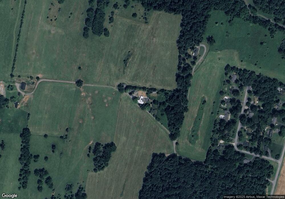
Map
Nearby Homes
- 0 Glendobbin Rd
- 570 Welltown Rd
- 247 Mcguire Rd
- LOT 23 - Greenfield Dr
- 111 Babbs Mountain Rd
- 821 Apple Pie Ridge Rd
- 173 Ashland Dr
- Lot 18 Honeycrisp Way
- 0 Market St Unit VAFV2004914
- 153 Welltown Rd
- 2673 Martinsburg Pike
- LOT 27A - Handley Dr
- LOT 1 - Handley Dr
- 242 Footstone Ln
- 252 Punkin Ridge Dr
- 0 Amoco Unit VAFV2010648
- 148 Amoco Ln
- 852 Cedar Grove Rd
- 148 Cedar Hill Ln
- 200 Lauck Dr
- 681 Payne Rd
- 167 Sterrett Ln
- 155 Sterrett Ln
- 185 Sterrett Ln
- 147 Sterrett Ln
- 197 Sterrett Ln
- 178 Sterrett Ln
- 164 Sterrett Ln
- 134 Sterrett Ln
- 192 Sterrett Ln
- 131 Sterrett Ln
- 116 Sterrett Ln
- 727 Payne Rd
- 756 Payne Rd
- 773 Payne Rd
- 645 Payne Rd
- 786 Payne Rd
- 741 Payne Rd
- 206 Clearview Dr
- 264 Clearview Dr